| name | distance ? |
type ? |
QR code ? |
remark |
|
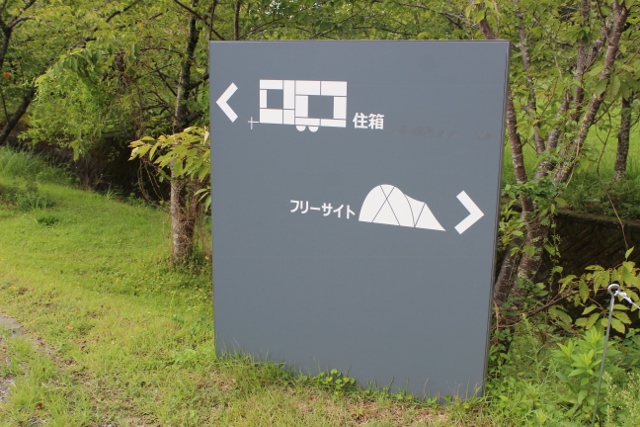
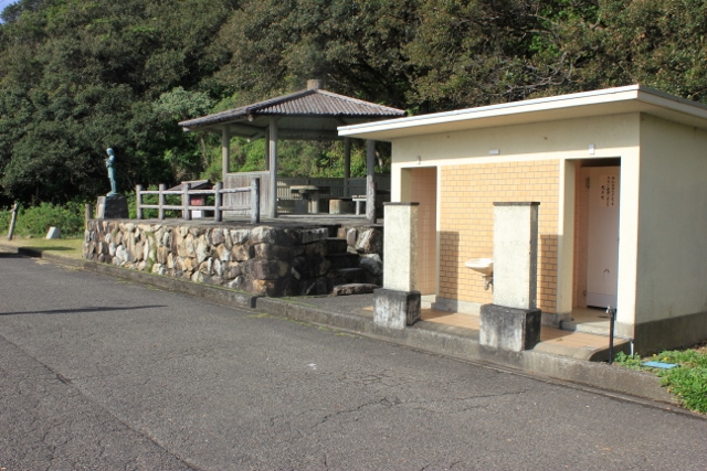
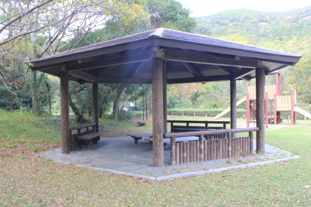
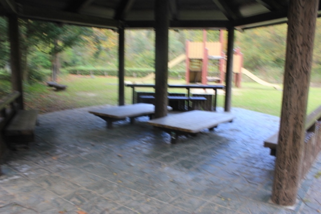
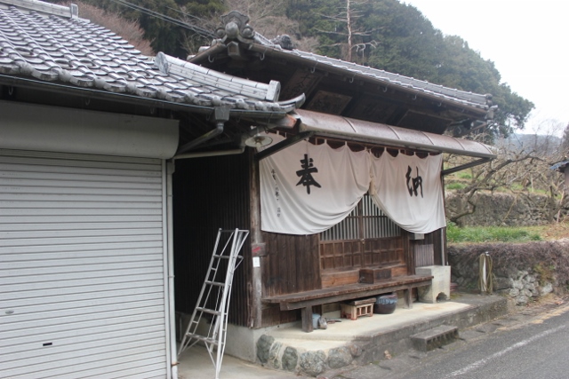
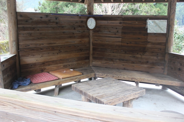
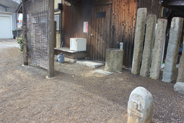
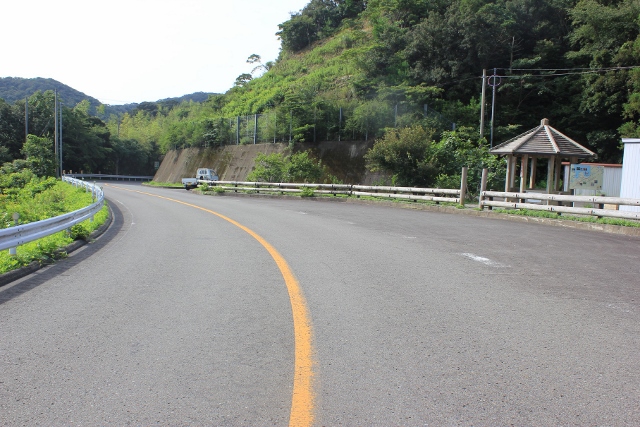
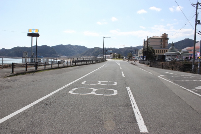
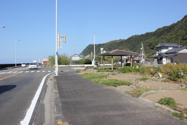
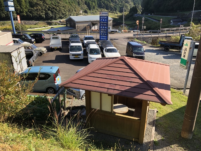
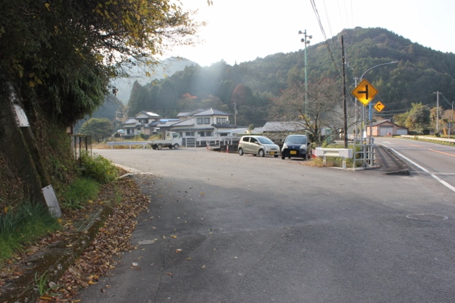
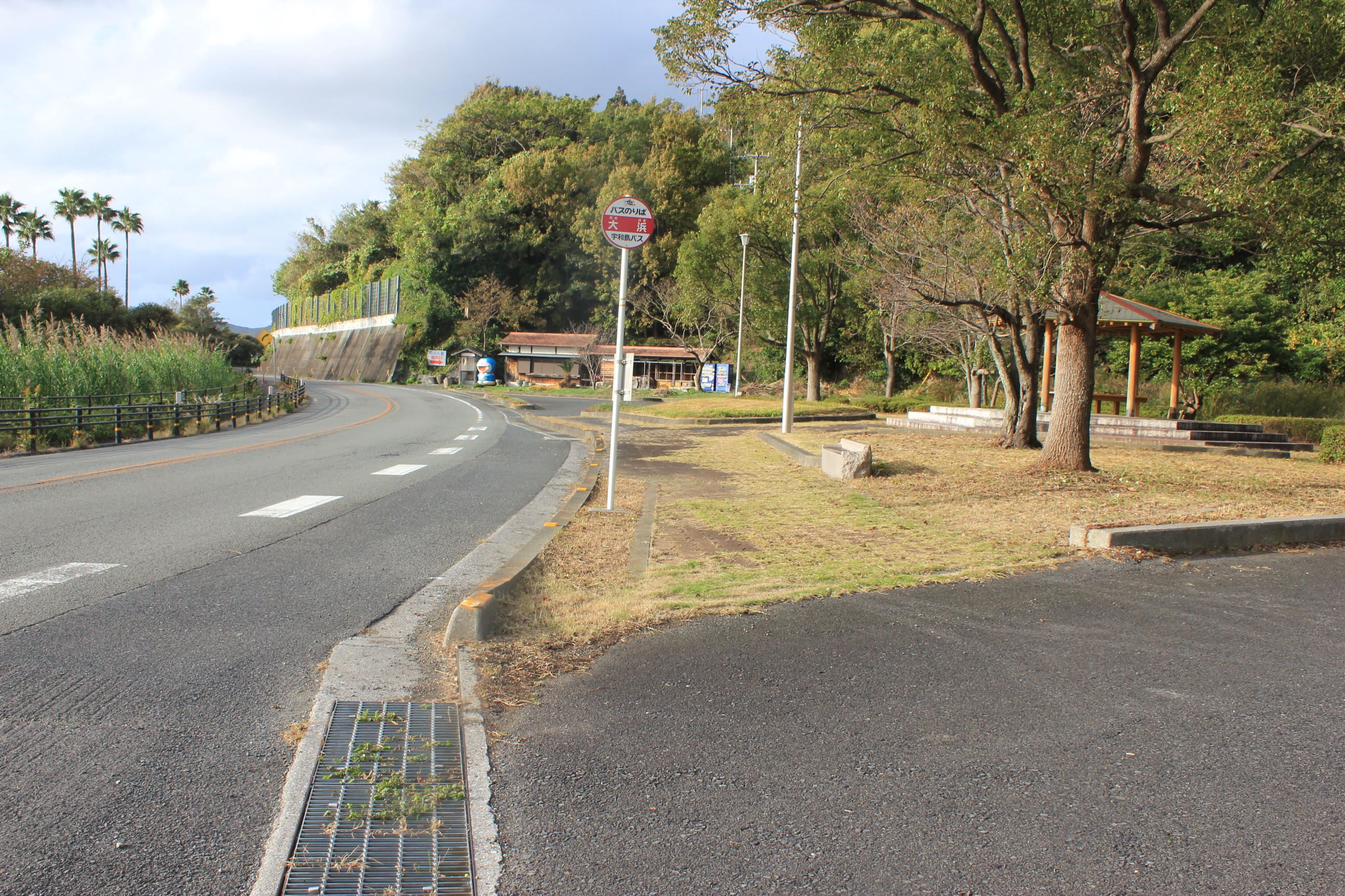
| Daiku-no-sato | 1 km |
|
detail | ||
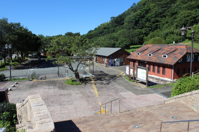
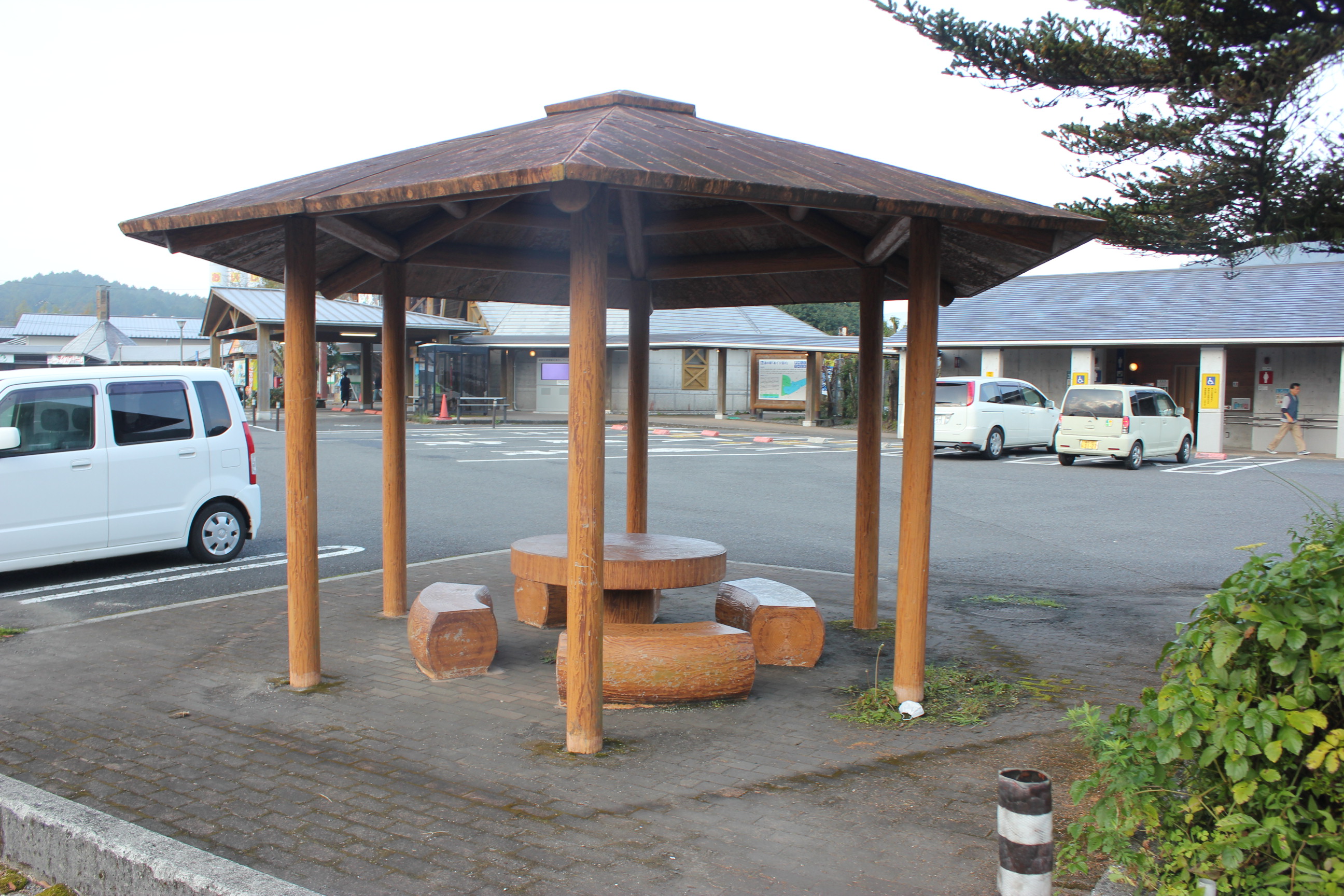
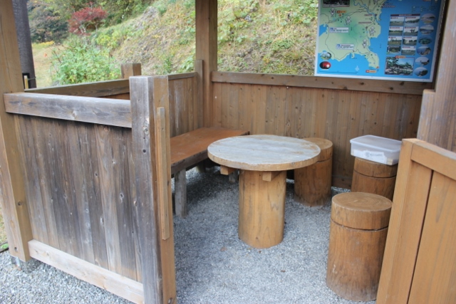
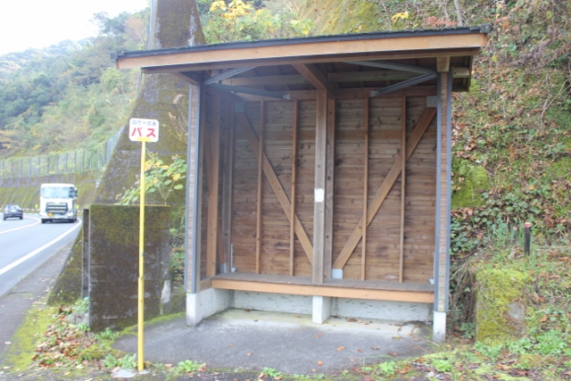
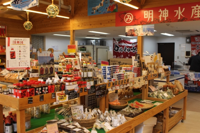
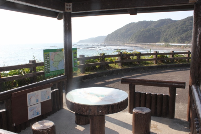
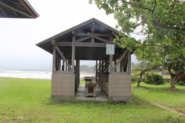
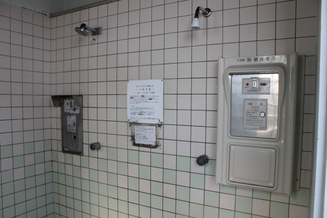
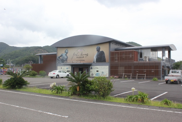
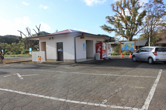
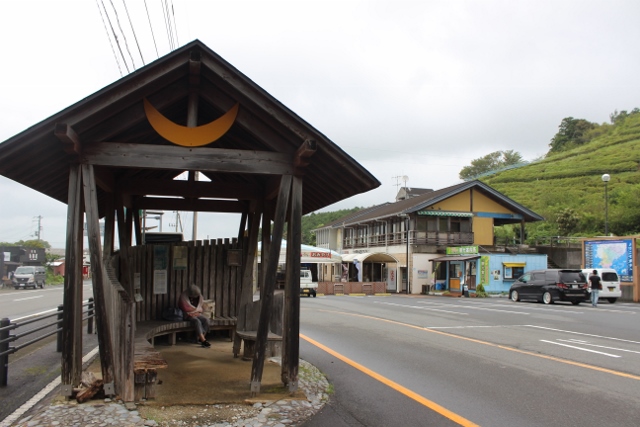
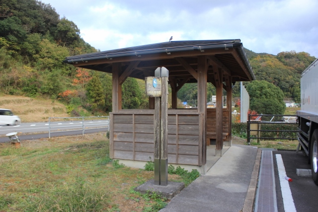
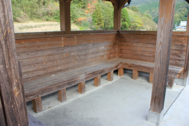
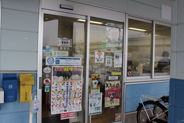
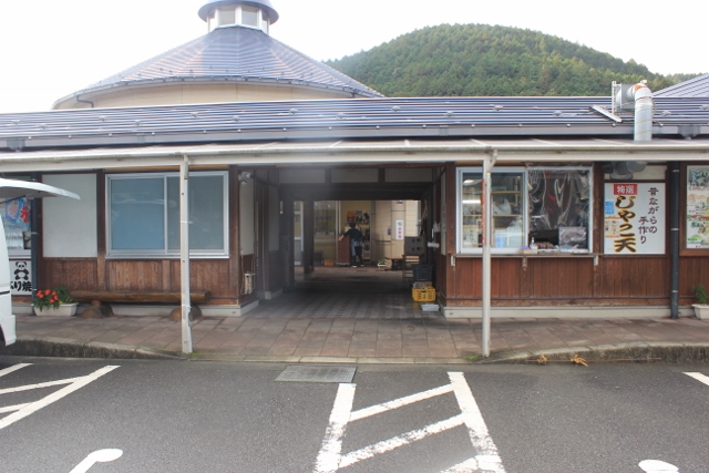
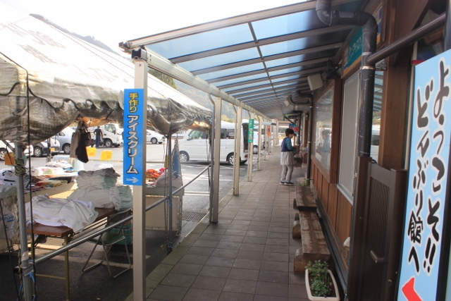
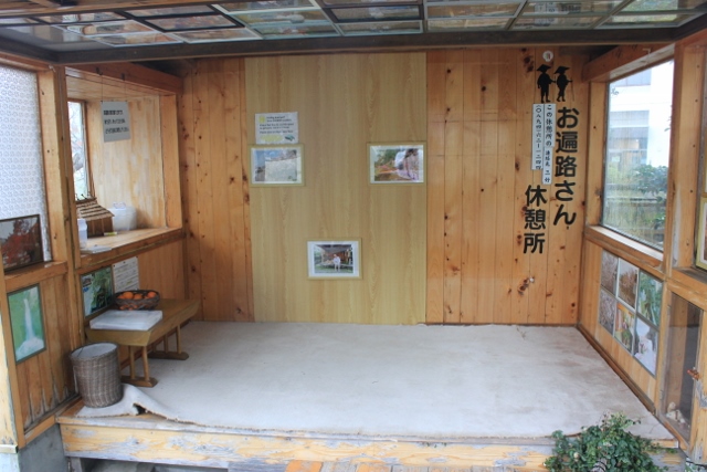
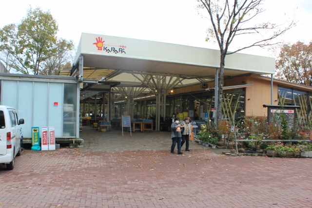
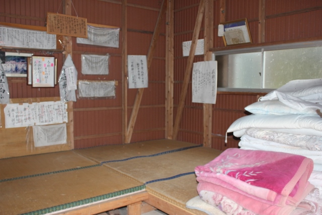
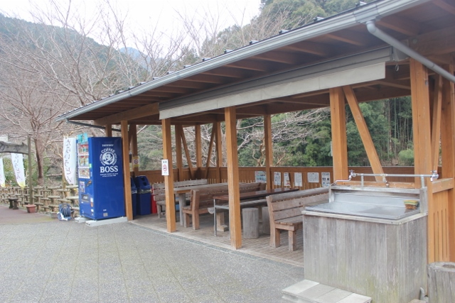
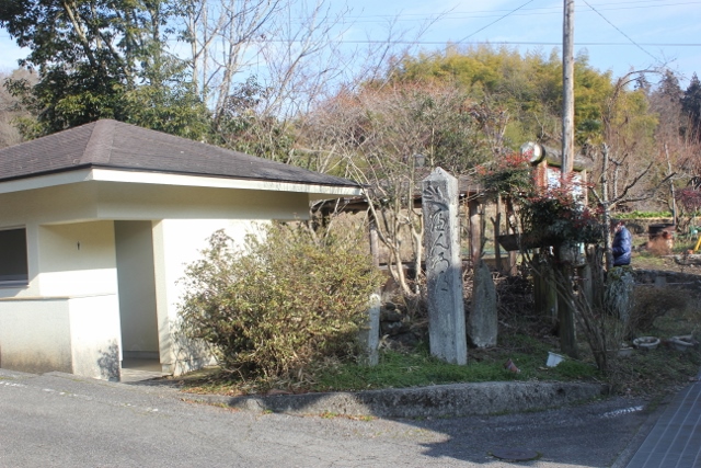
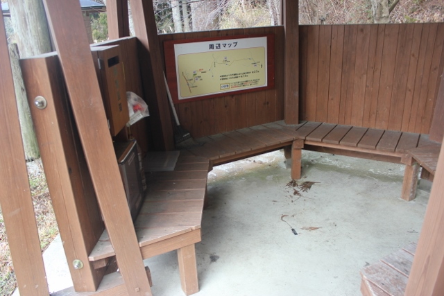
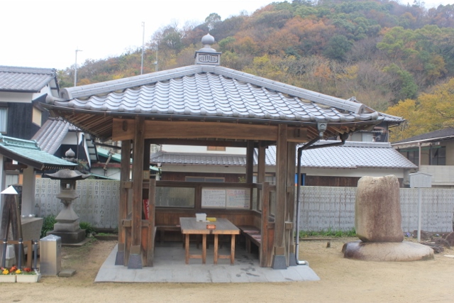
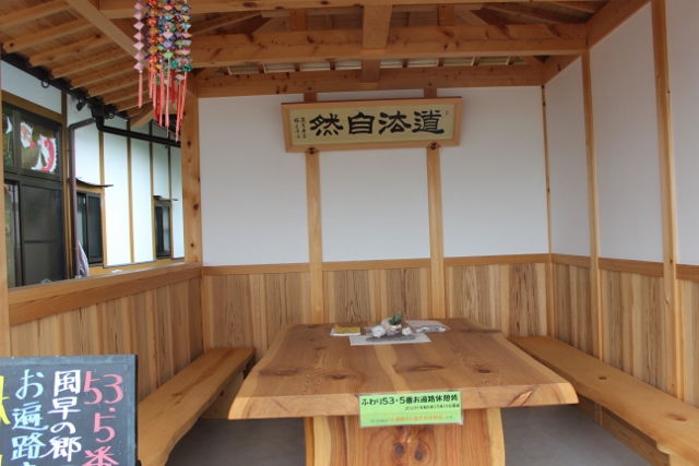
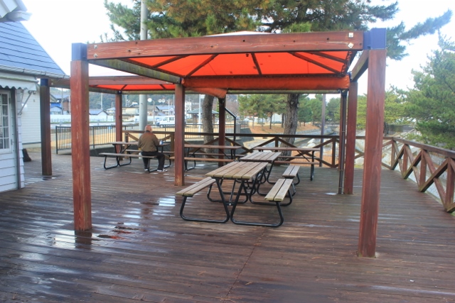
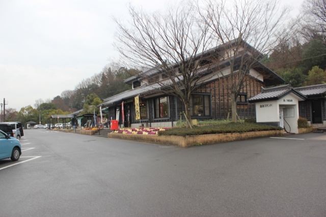
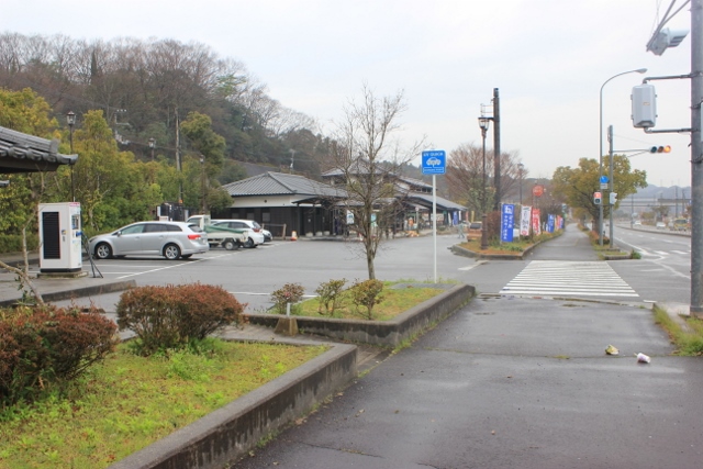
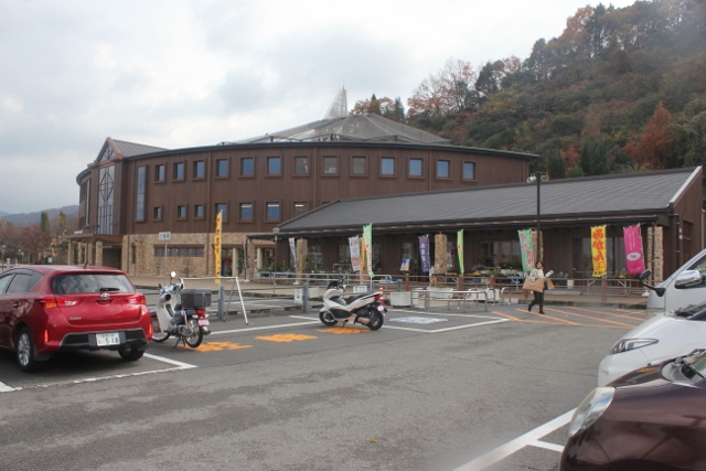
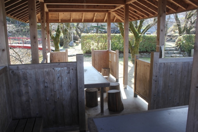
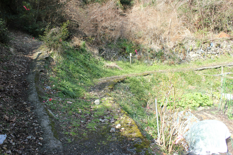
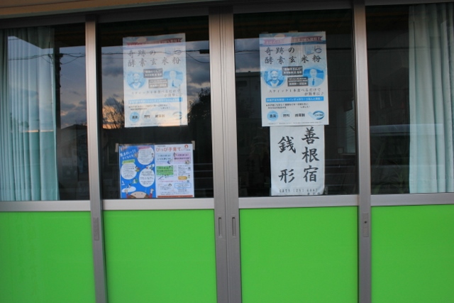
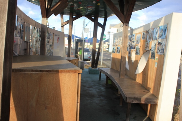
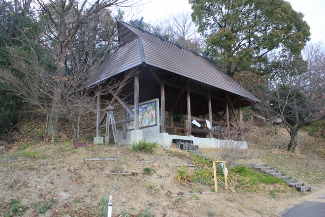
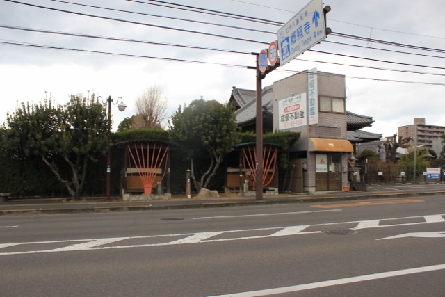
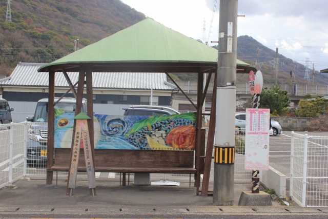
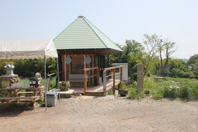
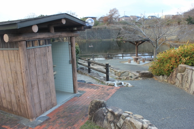
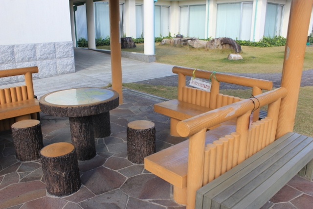
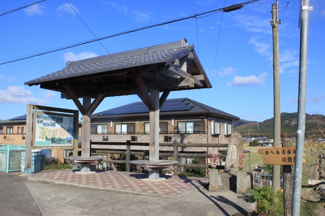
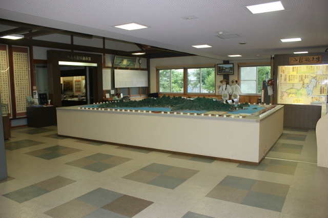
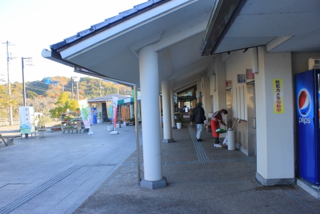
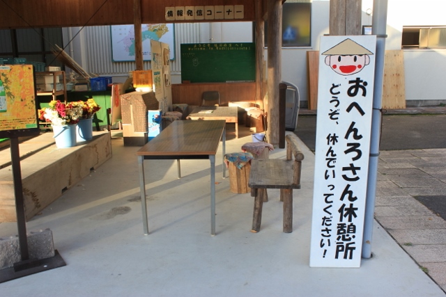
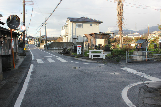
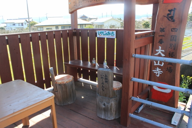
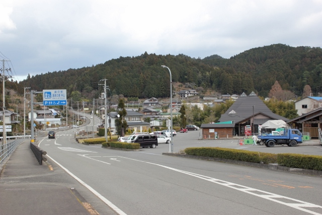
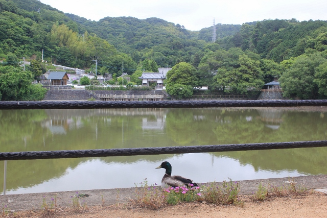
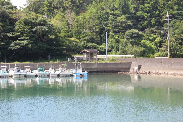
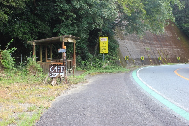
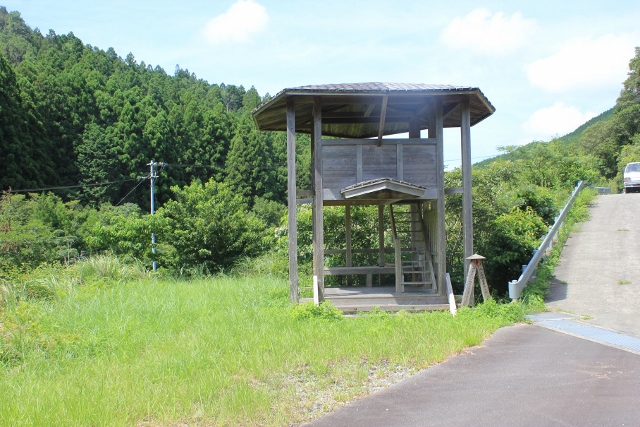
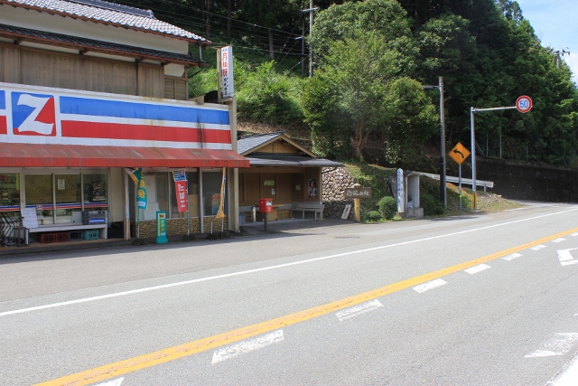
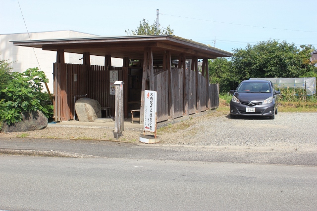
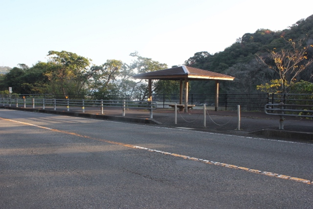
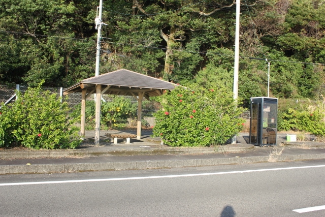
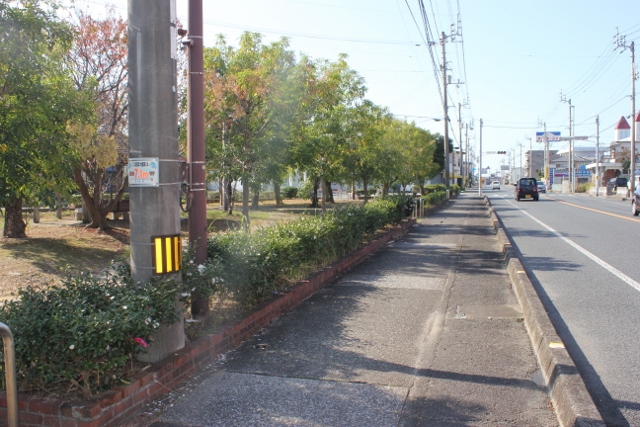
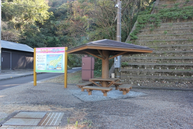
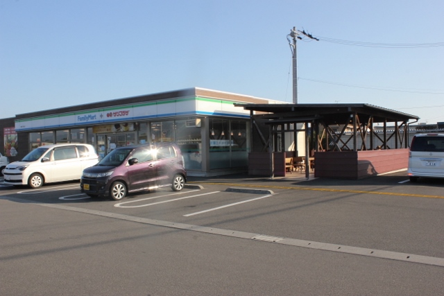
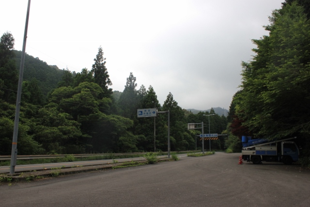
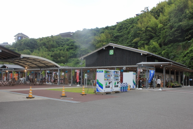
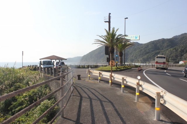
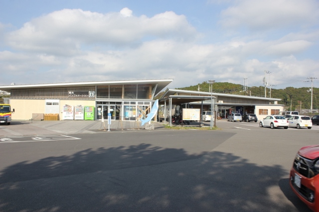
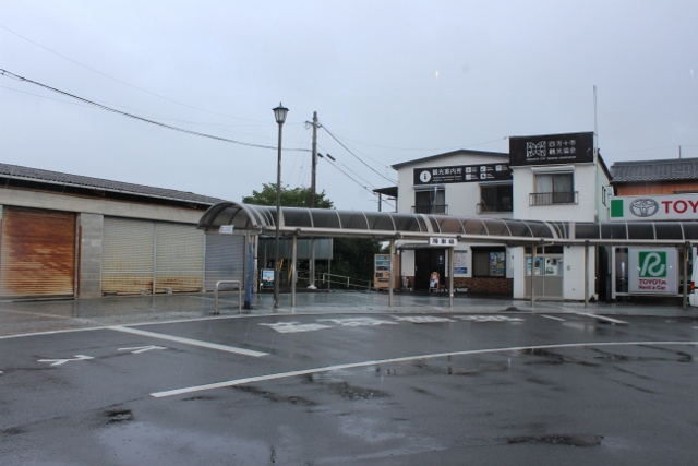
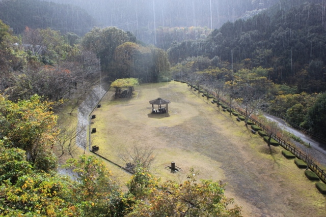
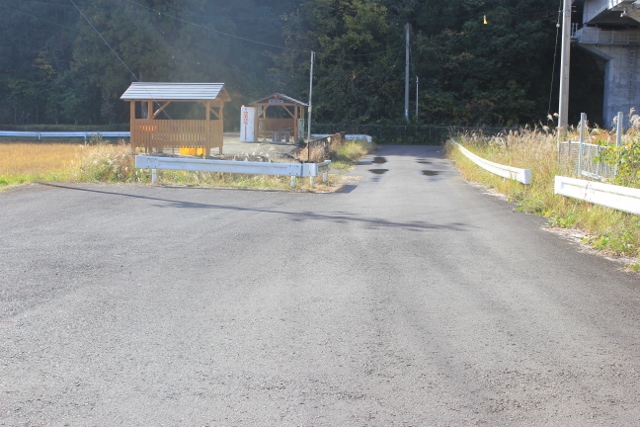
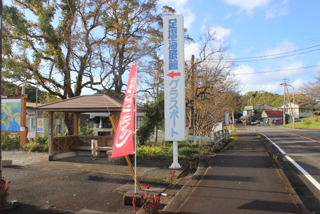
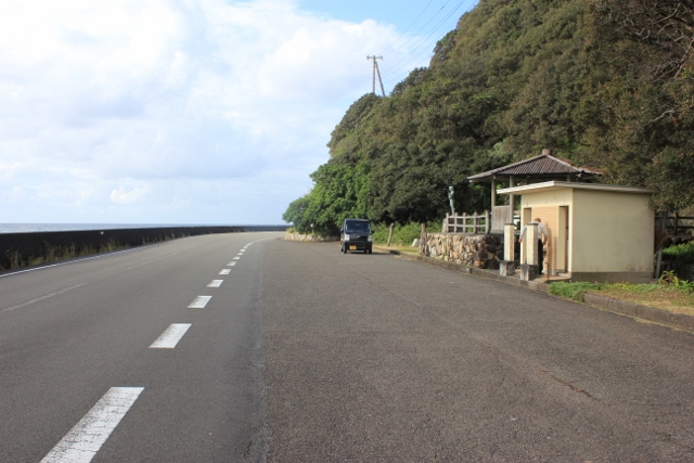
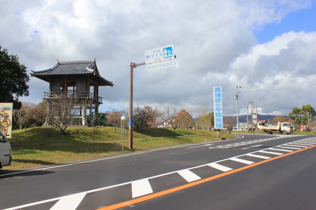
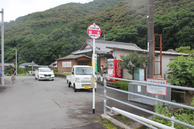
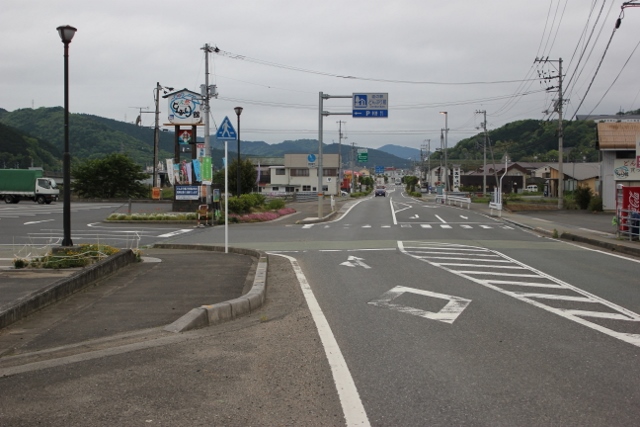
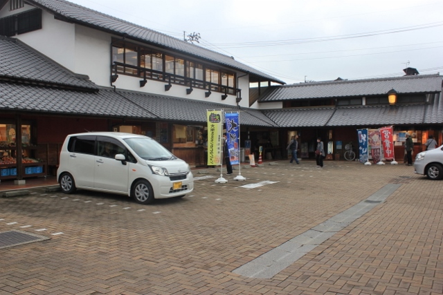
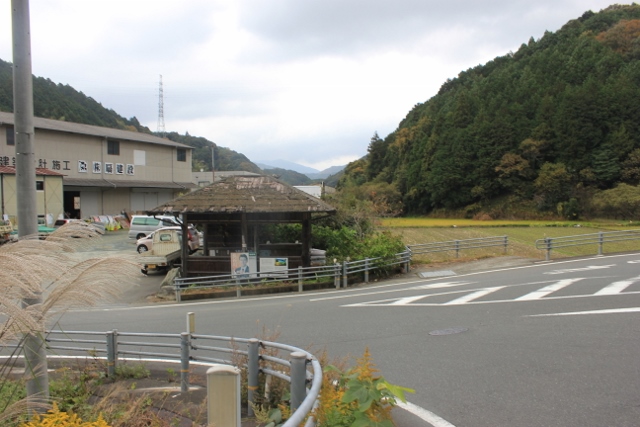
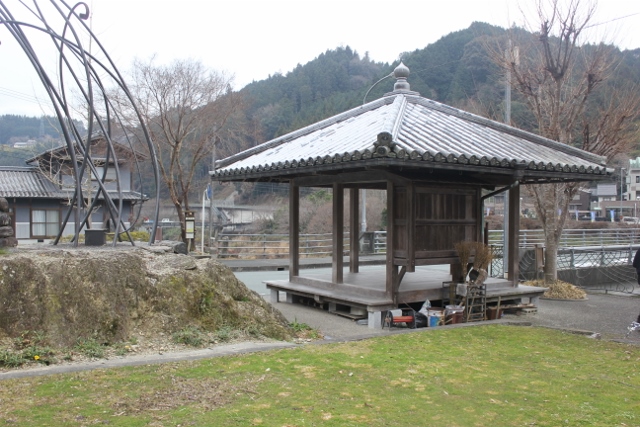
Daiku-no-sato❖This is a roadside station located about 1 km from No. 1 Ryozenji Temple.❖There is no information center. news─
detail─
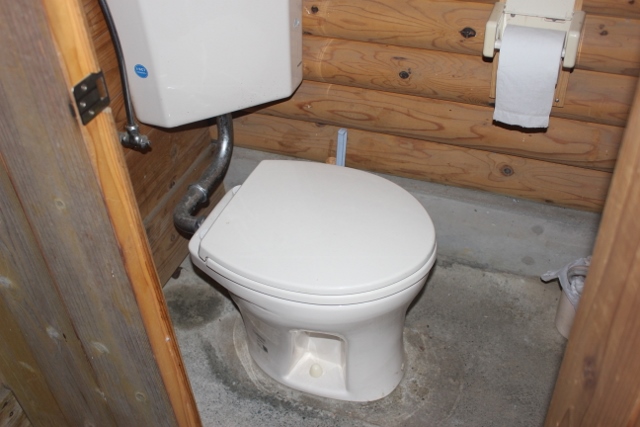
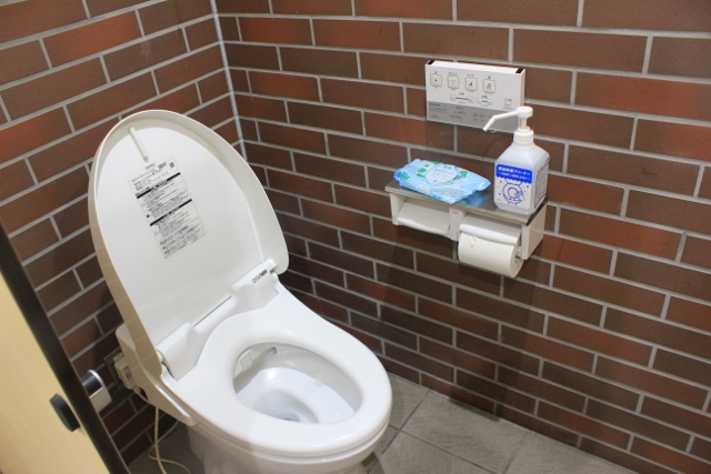
Available
Washulet
contact─
map─
close
|
|||||
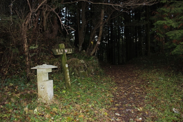
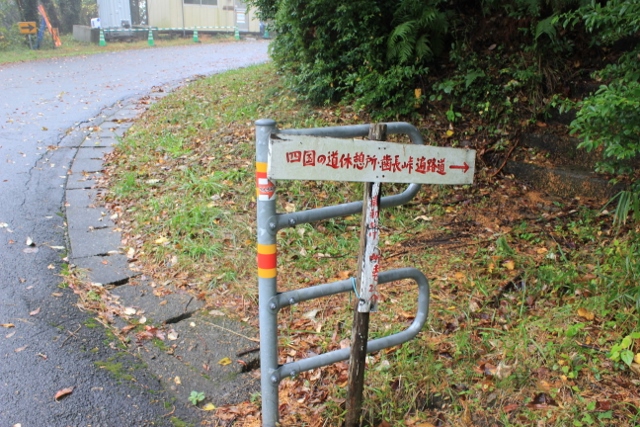
| There are 2 routes to No. 2 Gokurakuji Temple. | 0.3 km |
|
detail | ||

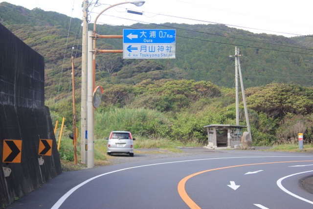
There are 2 routes to No. 2 Gokurakuji Temple.There are two routes to Gokurakuji Temple.① Ancient road route 1.5km ②Route along the road 1.3km Ancient road route is goes straight, Route along the road is turns right. Toaruarukihenro recommend the ancient route. detail─
contact─
map─
close
|
|||||
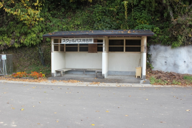
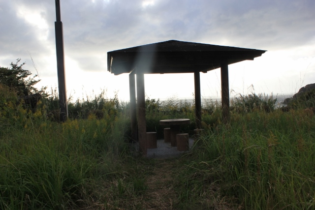
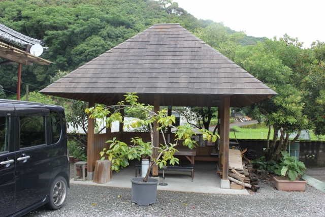
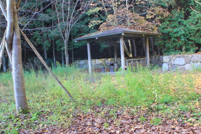
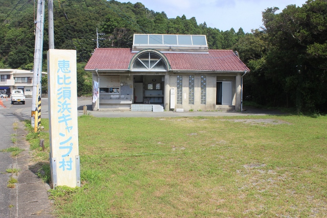
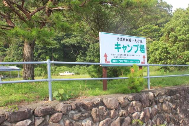
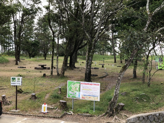
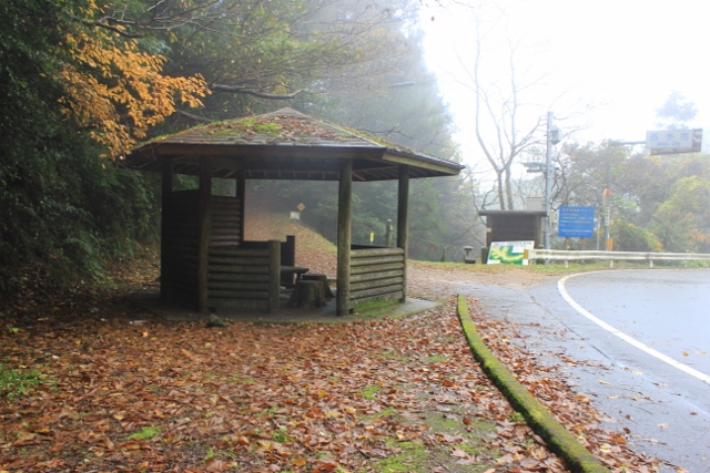
| Things to know about camping in the field | 0.2 km |
|
detail | ||
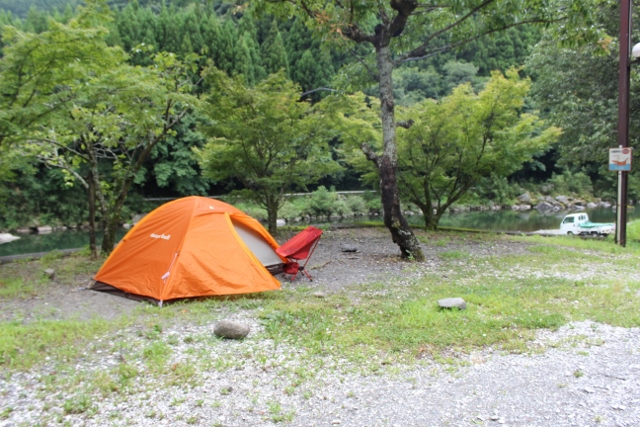
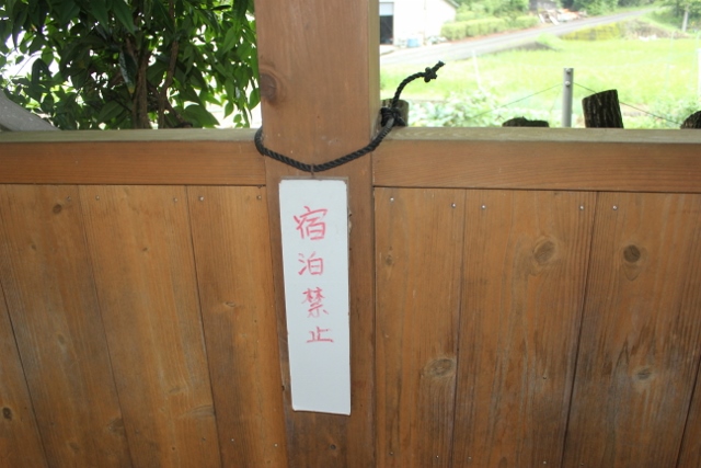
Things to know about camping in the fieldThings to know about camping in the fieldI. To the Camp Pilgrimage Please collect information on campgrounds, rest areas, reception areas, roadside stations, tourist information centers, and routes from this site. Ⅱ. Camping manner 1. When using a hut. ・There are approximately 250 hut marks marked on the foreign pilgrimage map. Hut marks are basically rest areas and are not places for camping. There are various types of hut marks, such as rest areas, reception areas, and huts with shade roofs, so please be aware that only a limited number of huts are suitable for camping. ・When camping in a hut, please check the hut's facilities (toilets, drinking water, etc.) on this site and strictly observe the following rules. - Camping site in facilities without running water or toilets is prohibited. - Camping site is prohibited in urban areas or in facilities adjacent to private houses. ・Group drinking is prohibited at camping grounds. ・Enforce tidying up after camping. ・In the past, there are some facilities where camping has been prohibited due to not following these rules and causing trouble to neighbors. 2. When using a roadside station ・ If you want to use a roadside station, ask a local resident, ``Can I stay in the pavilion of the roadside station?'' and often "I don't know?" If you are a person related to the facility, you may be refused. ・A certain walking pilgrim advises pilgrims who wish to use the facility to stay silent and stay inconspicuously in a corner of the facility after the facility closes and when it is no longer popular. Also, be sure to clean thoroughly before leaving. If you cause a nuisance to the neighborhood by leaving trash behind or drinking alcohol at night, the person in charge of the facility will likely put up a sign saying ``No camping within the roadside station area.'' ``Your actions will make you unable to use that facility.'' Also, recently there are many roadside stations where camping is prohibited. 3. When using the campsite ・There are paid and free campgrounds. Please follow the rules when using the facility 4. Camping outdoors within the grounds of shrines and temples is strictly prohibited. 5. Tsuyado/Zenkon-yado ・"Henro Facility.com" does not provide any information regarding this matter. detail─
contact─
map─
close
|
|||||
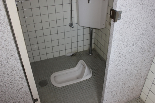
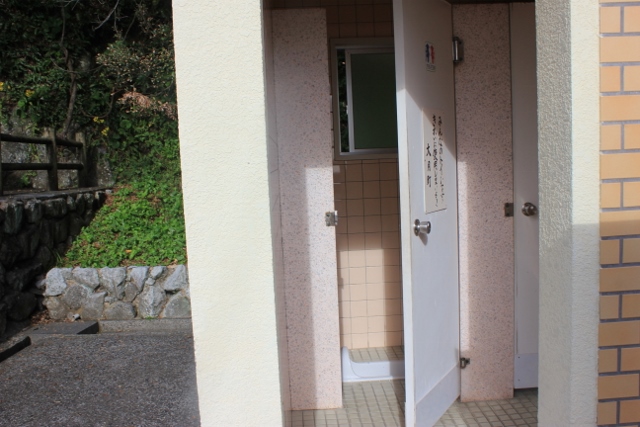
| Toilet Information | 0 km |
|
detail | ||
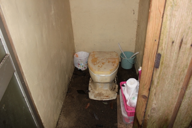
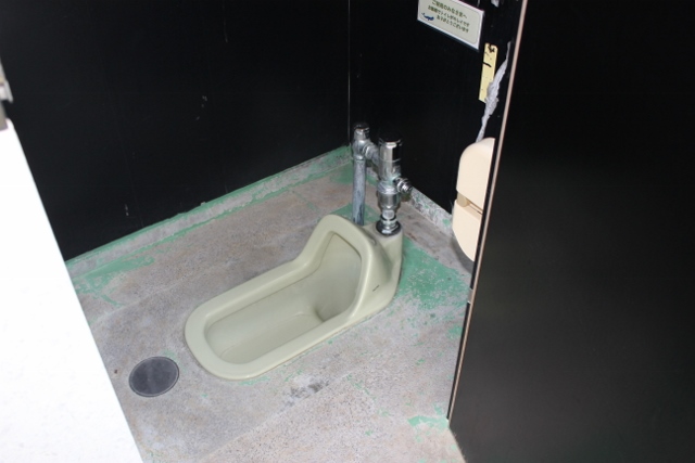
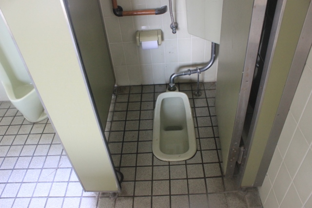
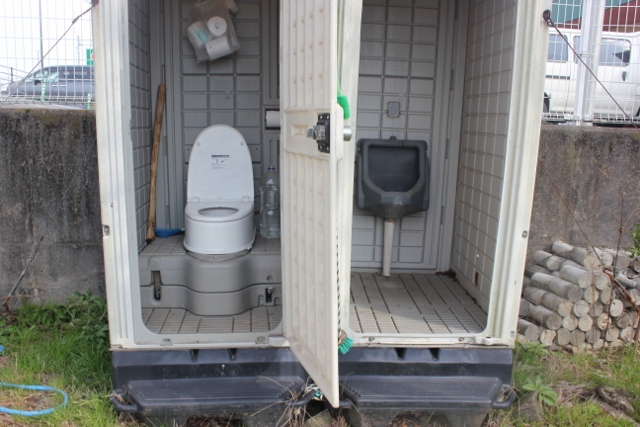
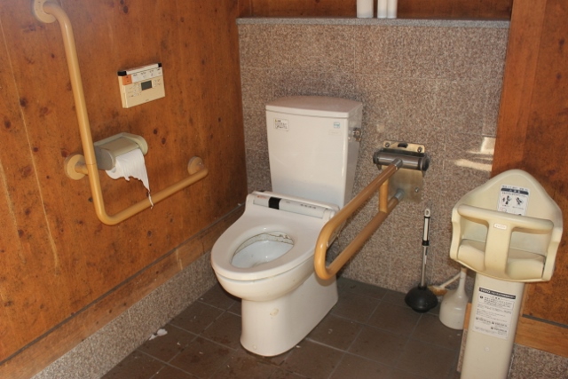
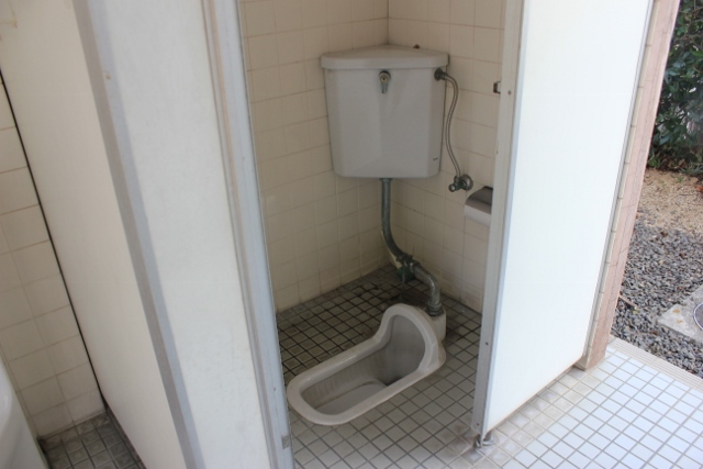
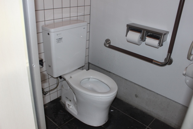
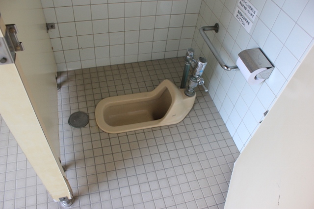
Toilet InformationThe total length of the Shikoku Pilgrimage Route is 1,400km. Approximately 80% of these rough roads are also roads for daily life. There are convenience stores, supermarkets, etc. along the street.These shops have toilets. There are also public toilets throughout the city. As a walking pilgrim, I don't have any inconvenience in using the toilet. On the other hand, about 20% of the roads are henro-michi along the coastline where villages are scattered, henro-michi in mountainous areas with villages, and mountain henro-michi. There are almost no convenience stores along this pilgrimage route. There are also few public toilets. There are many places where there are no toilets for more than 10km. Caution must be taken. 99% of toilets in Japan are free. Convenience store toilets in urban areas are clean and free. But it's not a public toilet. It is against etiquette to use restrooms in convenience stores, etc. as public restrooms. Pilgrims, whenever you use the restroom, be sure to pay your respects by purchasing something to drink or eat. Most of the toilets in the suburbs and on mountain roads are public toilets. There are many old-fashioned and unsanitary toilets that make you want to look away. The toilets are kept clean with the help of local residents, but you, the person using them, are in charge of maintaining these toilets. Please clean it after use. How should we disseminate information about toilets along the Henro Road? . You can find toilet maps online. I don't feel comfortable with it. A certain walking pilgrimage hopes to solve your problems by introducing you to the environment of areas with depopulated toilets. Information will be disseminated using "Penro Facility.com". For women who are worried about using the toilet, one possible solution is to carry a portable toilet with them. Examples of toilet issues ❖Toilet information 1 There are toilets on the main mountain trail, but they are few in number. Also, it is old and not well maintained. For those who are concerned about using the toilet, one option is to carry a portable toilet with them. Responsible people in charge of restroom management are responsible for cleaning the restrooms after use. Please note that there are no restrooms on the special mountain route. ❖Toilet information 2 11th Fujiidera (39km) - 12th Shosanji - via Tamagatoge - 13th Dainichiji(65km) There are public restrooms scattered around, but they are old-fashioned and not well-maintained. Do I need to prepare toilet paper too? . ❖Toilet information 3 Tokushima near the Kochi prefecture border (195km) - 10km in front of No. 24 Hotsumisakiji (220km) There are several public toilets in this area. Old style and not well maintained. Do I need to prepare toilet paper too? . Toilet depopulation area However, public toilets are available from here (220km) to Cape Hane (253km). It's really amazing. This section is a geopark area. ❖Toilet information 4 No. 40 Kanjizaiji (595km) – Kashiwazaka Ascent (605km) – Kashiwazaka Kamota (615km) Be careful with the restrooms in this section as well. ❖Toilet information 5 Uchiko-cho Tsukiai (708km) – Kumakogen-cho (727km) There are few public toilets in this section. ❖Toilet information 6 65th Sankakuji (934km) – 66th Unpenji – 67th Daikoji (960km) There are several public toilets in this area. Old style and not well maintained. Largest toilet depopulation area. detail─
contact─
map─
close
|
|||||
| Pilgrimage accommodation information | 0 km |
|
detail | ||
Pilgrimage accommodation informationInformation on pilgrimage sites can be found in the "Shikoku Japan 88 Route Guide" and ”The Henro Preservation Society's Map of Pilgrimage” sites, which lists 700-800 pilgrimage sites.Due to the Corona disaster and the aging of the owners, nearly 100 pilgrimage inns will close between 2019 and 2022. On the other hand, new lodges are being established. The situation of lodgings is constantly changing. The walking pilgrimage starts from March to mid-May and from September to mid-November. During these periods, securing lodging in urban areas should not be a problem, but securing lodging in the suburbs is a serious situation. In 2023, many walking pilgrims from Japan and abroad visited Shikoku, causing a shortage of lodging in many areas of Shikoku. In 2024, it is expected that more walking pilgrims will visit than last year, and securing lodging will be a major issue during the spring and fall walking pilgrimage seasons. In particular, there will be a serious shortage of lodging during the cherry blossom season at the end of March and the long vacation period from the end of April to the beginning of May. Please pay close attention to securing accommodations. To foreign pilgrims It is very difficult to make reservations at pilgrim lodgings. The reason for this is that the "Henro yado" as they are commonly called by the Japanese, do not allow online reservations. Many of the proprietors are elderly, so reservations can only be made by phone. Also, English is not spoken. There are only a limited number of lodgings that can be reserved online. I would say that only 50-70% of online reservations can be made. Business hotels in the city center and guesthouses that have opened in recent years can be reserved online. Online sites frequently used by foreign pilgrims include "Henro House" and "Booking.com" etc. The number of lodges subscribing to "Henro House" is about 40, and the capacity is limited. The next section of the pilgrimage route is in the suburbs and is underpopulated with lodges. It is really difficult to book a pilgrim lodging. Please be careful. No. 12 Shosanji Nabeiwa area (around 55-70 km) No.20 Kakurinji- (110-135 km) -No.22 Byodoji No.23 Yakuoji- (195-230 km) -No.24 Hottumisakiji No.43 Meisekiji- (695-725 km) -No.44 Daihoji No.65 Sankakuji- (930-965 km) -No.67 Daikoji etc. Information for those who plan to make a pilgrimage in the future The period from mid-January to early March is suitable for walking pilgrimages. However, there are very few pilgrims on foot. During this period, snowfall in mountainous areas can hinder the pilgrimage. However, there is no animal damage and it is easy to secure lodging. If you start the pilgrimage at this time of year, you will be greeted by cherry blossoms at the final destination. The walking pilgrimage season starts in January. For a safe and secure pilgrimage, the most important issue is to provide information on accommodations. We will continue to provide information on pilgrimage lodges at henroyado.com. Thank you in advance for your cooperation. detail─
contact─
map─
close
|
|||||
| Unwanted Baggage storage service | 0.2 km |
|
detail | ||
Unwanted Baggage storage serviceGood news for everyone visiting Shikoku sacred sites from overseasUnwanted Baggage storage service during the pilgrimage period http://ohenro.jp/blog/arukihenro/shikoku-pilgrimage-unwanted-baggage-storage-service-during-the-pilgrimage-period/ detail─
contact─
map─
close
|
|||||
| Wild animal information | 0.1 km |
|
detail | ||
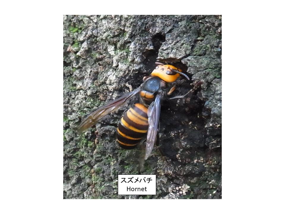
Wild animal informationThe animals that live in Shikoku are boars, deer, monkeys, raccoon dogs, rabbits, and bears.The animals that appear along the pilgrimage route are wild boars, deer, monkeys, and raccoon dogs. There are no bears. These beasts stay away from humans, so encounters are rare. Damage caused by wild boars is occasionally reported in late autumn. The rural pilgrimage route has iron lattice walls. This is to prevent damage to agricultural products from wild boars and deer. Next is the snake. There are common snakes and poisonous snakes in Shikoku. You will come across an ordinary snake. However, the snake runs away. Viper snakes live in grassy wetlands near small streams. There are only a limited number of such places along the pilgrimage route. However, you may come across it. You are safe as long as you wear shoes. In many cases, they will run away. The encounter period is from July to the end of October. There is a small stream on the left about 200m from No. 11 Fujiidera. There is a sign warning of poisonous snakes. Please be careful. The most dangerous thing is the hornet. Hornets attack people. Evacuate immediately. They seem to be particularly sensitive to black. Protect yourself with white towels, etc. I often hear about people being stung by hornets. A sting from a large hornet can be fatal. Autumn is aggressive. detail─
contact─
map─
close
|
| name | distance ? |
type ? |
QR code ? |
remark |
|
| Rest area Itano | 5 km |
|
detail | ||

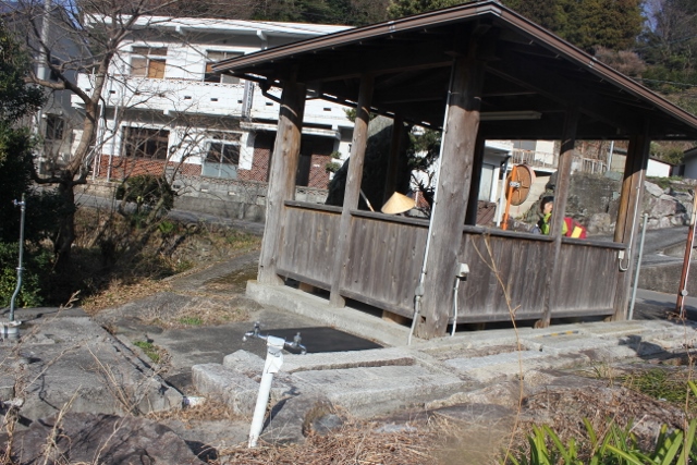
Rest area ItanoThis is a resting place. There is no running water or toilets.detail─
contact─
map─
close
|
| name | distance ? |
type ? |
QR code ? |
remark |
|
| Hut Kurotani | 10 km |
|
detail | ||
Hut KurotaniIt is a rest area. There is no water supply or toilet.detail─
contact─
map─
close
|
| name | distance ? |
type ? |
QR code ? |
remark |
|
| Cafe Brisa | 12 km |
|
detail | ||
Cafe BrisaThis is a rest area in the corner of a coffee shop.You can use toilets, drinking water, free Wifi, etc. Closed on Saturdays and Sundays. detail─
contact─
map─
close
|
|||||
| Henro-koya PJ #44 Kanyake | 13 km |
|
detail | ||
Henro-koya PJ #44 KanyakeThere is no toilets or running water in this hut.detail─
contact─
map─
close
|
|||||
| Hut Kanyake bus stop | 13 km |
|
detail | ||
Hut Kanyake bus stopThere is no toilets or running water in this hut.detail─
contact─
map─
close
|
|||||
| Hut Kanyake staition | 13 km |
|
detail | ||
Hut Kanyake staitionThere is no toilets or running water in this hut.detail─
contact─
map─
close
|
|||||
| Hut Ogaki | 14 km |
|
detail | ||
Hut OgakiThere are no restrooms or rest areas.detail─
contact─
map─
close
|
| name | distance ? |
type ? |
QR code ? |
remark |
|
| Henro-koya PJ #57 Donari | 21.5 km |
|
detail | ||
Henro-koya PJ #57 DonariThe rest area is equipped with running water and self-cleaning toilets.detail─
contact─
map─
close
|
| name | distance ? |
type ? |
QR code ? |
remark |
|
| Sumotori-do Pilgrimage Supplies Store. | 29 km |
|
avairable | detail | |

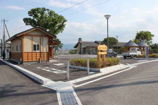
Sumotori-do Pilgrimage Supplies Store.❖Are the 333 steps to Kirihata Temple the first difficult part of the Shikoku Pilgrimage?. You can leave your luggage here and go on a pilgrimage.❖A pilgrimage supplies store located at the foot of No. 10 Kirihata Temple. Isn't it possible to buy good products at low prices on a certain walking pilgrimage? . ❖The owner is fluent in English. news─
detail─
contact─
map─
close
|
| name | distance ? |
type ? |
QR code ? |
remark |
|
| Henro-koya PJ #45 Kukai-an | 30 km |
|
detail | ||
Henro-koya PJ #45 Kukai-anThere is no running water or toilet in the hut.detail─
contact─
map─
close
|
|||||
| Hut Firm equipment shop | 32 km |
|
detail | ||
Hut Firm equipment shopThe rest area has water and toilets.detail─
contact─
map─
close
|
|||||
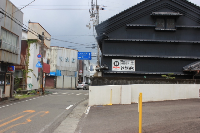
| There are 2 routes to No. 11 Fujiiji Temple. | 32 km |
|
detail | ||
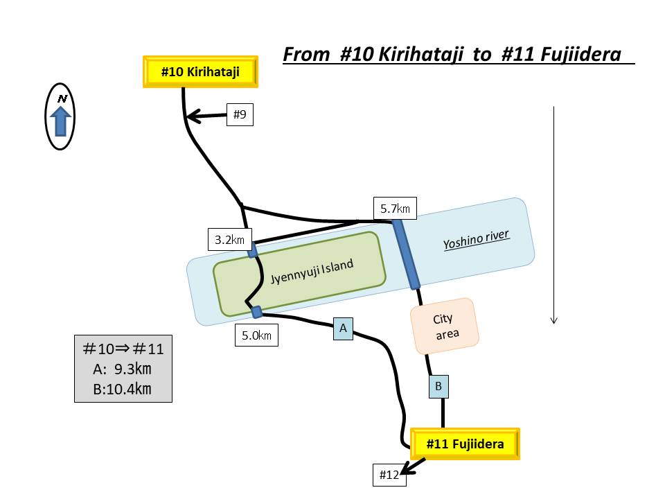
There are 2 routes to No. 11 Fujiiji Temple.❖There are two routes across the Yoshinogawa River.① A route that follows Japan's largest river island, Zennyuji-to, using a submerged bridge. 9.3km ②Route along the Yoshino River bank and then following a modern bridge 10.2㎞ ❖Toaruarukihenro recommends route 1. ❖Please be careful. In case of rising water, traffic is prohibited. detail─
contact─
map─
close
|
|
|||||
| name | distance ? |
type ? |
QR code ? |
remark |
|
| Hut Kawashima Bridge | 34 km |
|
detail | ||
Hut Kawashima BridgeThis is a hut where you can stay for one night only.There are restrooms at Kawashima Park, about 100m away. detail─
contact─
map─
close
|
|||||
| Mizube Kankyou Park | 35 km |
|
detail | ||
Mizube Kankyou ParkThere is running water in the hut, but no toilet.detail─
contact─
map─
close
|
|||||
| Hut | 35.5 km |
|
detail | ||
HutThere is no water and no toilet.detail─
contact─
map─
close
|
|||||
| Hut Egawa-Yusui | 37 km |
|
detail | ||
Hut Egawa-YusuiEgawa Spring Water is one of Japan's top 100 spring waters.This hut is located at a spring. Available for one night only. detail─
contact─
map─
close
|
|||||
|
|||||
| name | distance ? |
type ? |
QR code ? |
remark |
|
| Hut Fujiken-an | 37.5 km |
|
detail | ||
Hut Fujiken-anThis is a pilgrimage hut along the Shikoku Michi route.There is running water and a toilet. detail─
contact─
map─
close
|
|||||
#10-11 merged route |
|||||
| name | distance ? |
type ? |
QR code ? |
remark |
|
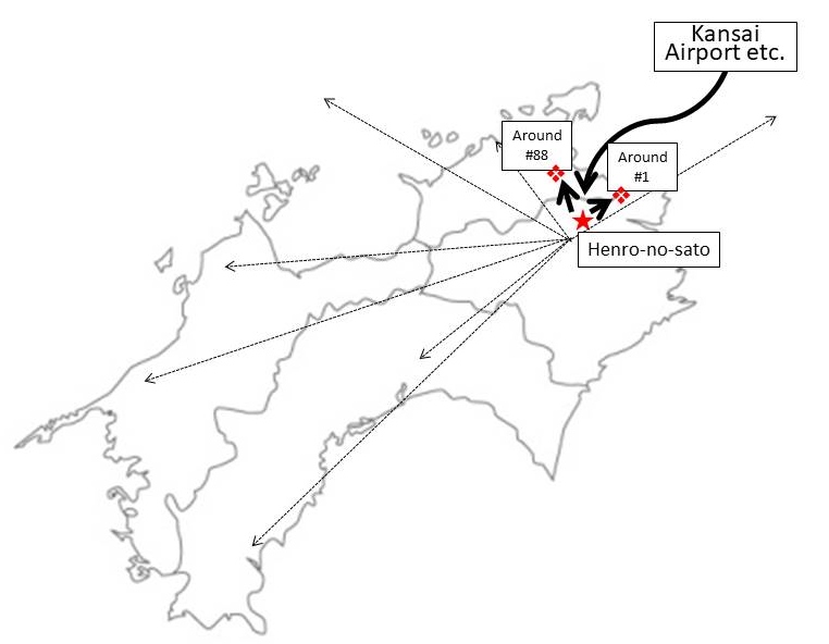
| Henro support center "Henro-no-sato" | 38 km |
|
avairable | detail | |
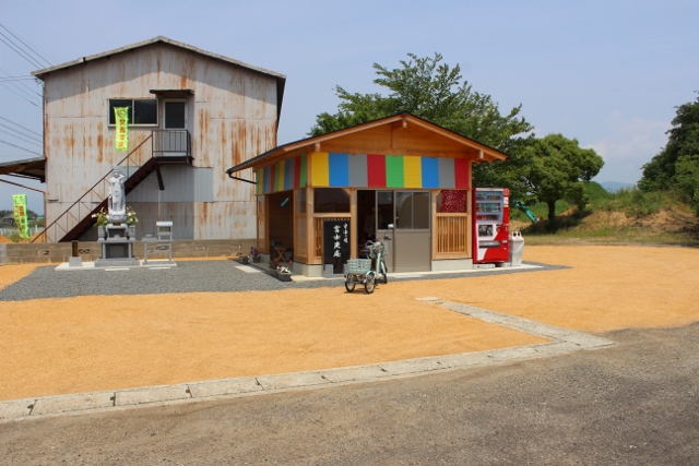
Henro support center "Henro-no-sato"❖This is the reception area in front of the Fujiidera gate.❖The most difficult part of the Shikoku pilgrimage route, the Shosan-ji pilgrimage, is coming up. If you have any problems, we will be happy to help. detail─
contact─
map─
close
|
|||||
| Baggage Storage Center | 38.1 km |
|
detail | Baggage storage service | |
Baggage Storage Center❖Good news for everyone visiting Shikoku sacred sites from overseas.❖Unwanted Baggage storage service during the pilgrimage period. ❖ https://ohenro.jp/blog/arukihenro/?page_id=37285 detail─
contact─
map─
close
|
|||||
| Baggage delivery service | 39 km |
|
detail | ||

Baggage delivery serviceThe baggage delivery service for the Shosanji pilgrimage section, the most difficult route on the Shikoku pilgrimage route.Henro-no-Sato provides a paid baggage delivery service in areas No.11-No.17. The fare is 1,500 yen for one section. (around No. 11 Fujiidera - around No. 12 Shosanji Nabeiwa) Use of 2 sections: 2,500 yen (Around No. 11 Fujiidera - around No. 12 Shosanji Nabeiwa & around No. 12 Shosanji Nabeiwa - around No. 17 Idoji) Bicycle pilgrims, why not try walking this wonderful mountain path? Bicycles will be delivered to Nabeiwa village (altitude 210m), 15km away. Bicycle and baggage delivery service fee is 2,500 yen. (Henro-no-sato - No. 12 Shosanji Nabeiwa ) Contact information. Henro Eleven Email: oyadof11@gmail.com detail─
contact─
map─
close
|
|||||
| name | distance ? |
type ? |
QR code ? |
remark |
|
| #11-12 are the most difficult pilgrimage routes. | 39.5 km |
|
detail | ||
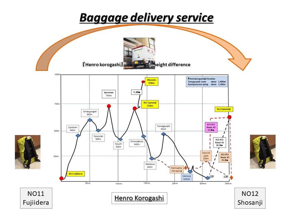
#11-12 are the most difficult pilgrimage routes.❖This is the most difficult point on Shikoku Road.❖There are restrooms at Chodo-an, Ryusui-an, and Ipponsugi. But it's not clean. ❖There is a valley water at Ryusui-an, which is halfway up the trail, but there are times when the water is cut off, so be careful. ❖From here onward, the area around Nabeiwa is a depopulated area. This is an area where it is difficult to secure accommodation. detail─
contact─
map─
close
|
|||||
| Rest area Habayama | 40 km |
|
detail | ||
Rest area HabayamaThere is no water and toilet.detail─
contact─
map─
close
|
|||||
| Hut Ryusui-an | 44.5 km |
|
detail | ||
Hut Ryusui-anThe area between Fujiidera and Shosan-ji is the most difficult.Ryusui-an is a 6.3km midway point from Fujiidera Temple. Please evacuate here when making a complaint. Water is drawn from the valley, but there are times when the water is cut off, so be careful. detail─
contact─
map─
close
|
| name | distance ? |
type ? |
QR code ? |
remark |
|
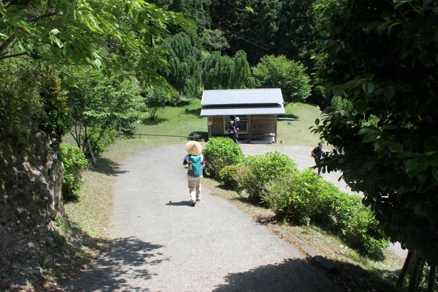
| Pilgrimage inn depopulated area Ⅰ(Nabeiwa). | 53 km |
|
detail | ||
Pilgrimage inn depopulated area Ⅰ(Nabeiwa).❖The Nabeiwa area at the foot of the 12th foothills is a depopulated area of pilgrimage inns.❖This is an area where it is difficult to find accommodation throughout the year. Be careful. detail─
contact─
map─
close
|
|||||
| There are three routes from Nabeiwa . | 54 km |
|
detail | ||
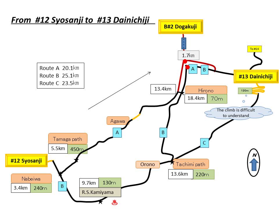
There are three routes from Nabeiwa .❖There are three routes from Nabeiwa to No. 13 Dainichiji Temple.① Nabeiwa - via Tamaga-toge: 17km ② Nabeiwa - via Kamiyama-town: 22km ③ Via Nabeiwa-Kamiyama-town-Oozakura-pass: 22km ❖Toaruarukihenro recommend ①. Sakura-season is route② nice. detail─
contact─
map─
close
|
|
|||||
| name | distance ? |
type ? |
QR code ? |
remark |
|
| Henro-koya Pj #36 Kamiyama | 56 km |
|
detail | ||
Henro-koya Pj #36 KamiyamaThere is no water and toilet.detail─
contact─
map─
close
|
|||||
|
|||||
| name | distance ? |
type ? |
QR code ? |
remark |
|
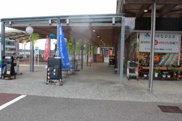
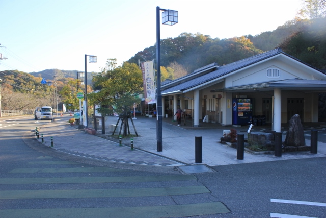
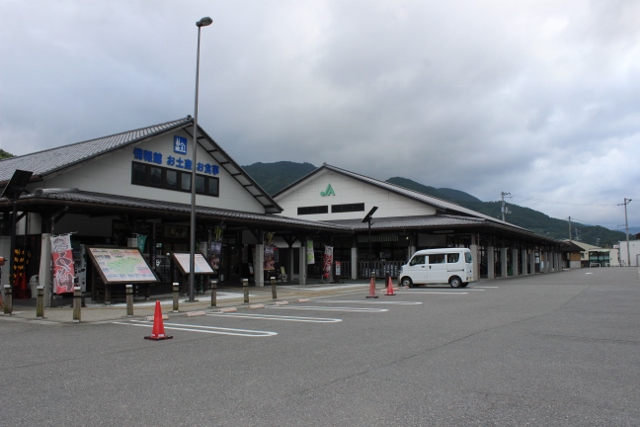
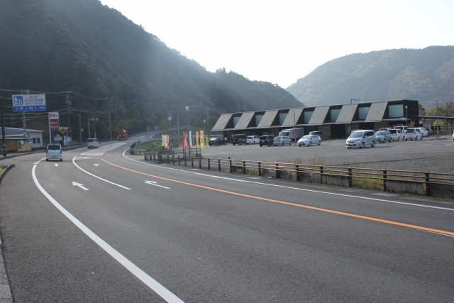
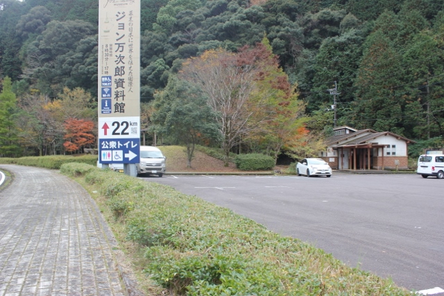
| Michi-no-eki Onsen-no-sato Kamiyama | 60 km |
|
detail | ||
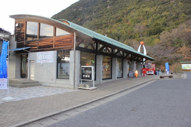
Michi-no-eki Onsen-no-sato KamiyamaThis is a roadside station located 10km from No. 12 Shosanji Temple.There is also an information center. news─
detail─
contact─
map─
close
|
|||||
| Camp site Cotton Field | 60.5 km |
|
detail | ||
Camp site Cotton FieldIt's about 300 meters to Kamiyama Onsen! ! ! .Campsite fee is 1,100 yen. There is also a guest house. detail─
contact─
map─
close
|
|||||
#12-13 merged route |
|||||
| name | distance ? |
type ? |
QR code ? |
remark |
|
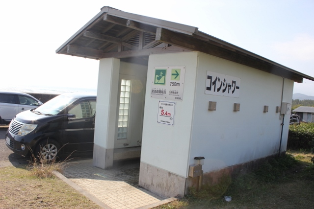
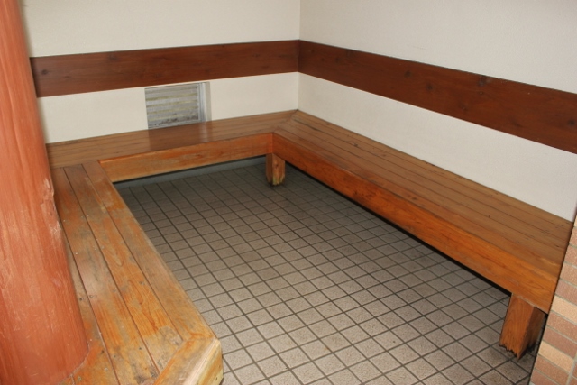
| Camp site Karuizawa | 65 km |
|
detail | ||
.jpg)
Camp site KaruizawaThe usage fee is 1100yen.detail─
Available
Available
Available
Available
Shower
contact─
map─
close
|
|||||
| Hut Nyuta | 68 km |
|
detail | ||
.jpg)
Hut Nyutadetail─
contact─
map─
close
|
|||||
| Resutohouse Oyasuminasai-tei | 70 km |
|
detail | ||
Resutohouse Oyasuminasai-teiThis is a rest area located approximately 2 km before Dainichiji Temple No. 13.news─
detail─
contact─
map─
close
|
|||||
| Camp site Nyuuta | 71 km |
|
detail | ||
Camp site Nyuutadetail─
contact─
map─
close
|
|||||
|
|||||
| name | distance ? |
type ? |
QR code ? |
remark |
|
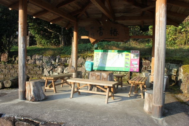
| Jizouinn Park | 85 km |
|
detail | ||
Jizouinn ParkA park on the route over Jizo Pass.There is running water and toilets. detail─
contact─
map─
close
|
|||||
|
|||||
| name | distance ? |
type ? |
QR code ? |
remark |
|
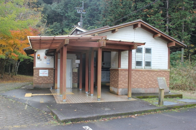
| Tokushima welcome center | 88 km |
|
avairable | detail | |
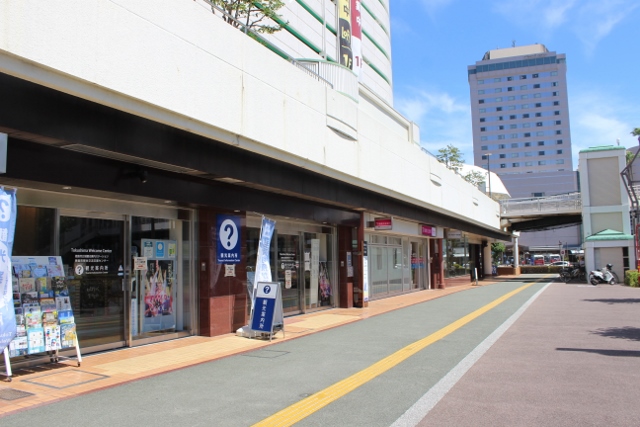
Tokushima welcome center❖This is a comprehensive tourist information center in front of Tokushima Station.❖English available. ❖Long-term luggage storage service available: 500 yen per day news─
detail─
contact─
map─
close
|
|||||
| Henro-koya PJ #12 Bizan | 88 km |
|
detail | ||
Henro-koya PJ #12 BizanA hut in the city.detail─
contact─
map─
close
|
|||||
#17-#18 merged route |
|||||
| name | distance ? |
type ? |
QR code ? |
remark |
|
| Rest area Tsuyugamoto | 95 km |
|
detail | ||
Rest area TsuyugamotoNo running water or toilet.detail─
contact─
map─
close
|
|||||
| Komatsushima Information center | 97 km |
|
avairable | detail | |
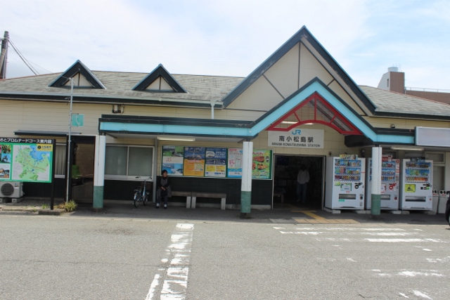
Komatsushima Information center❖This is an information center located inside the JR Minami-Komatsushima station building.❖2.2km to No. 18 Onzanji Temple. news─
detail─
contact─
map─
close
|
|||||
| name | distance ? |
type ? |
QR code ? |
remark |
|
| Henro-koya PJ #36 Okyozuka | 103 km |
|
detail | ||
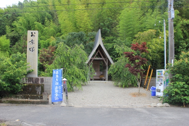
Henro-koya PJ #36 OkyozukaNo running water or toilet.detail─
contact─
map─
close
|
| name | distance ? |
type ? |
QR code ? |
remark |
|
| Hut Nue | 109 km |
|
detail | ||
Hut NueNo running water or toilet.detail─
contact─
map─
close
|
|||||
| Michi-no-eki Hinanosato Katsuura | 112 km |
|
avairable | detail | |
Michi-no-eki Hinanosato Katsuura❖There is a tourist information center at the roadside station.❖From here to No. 22 Byodoji Temple is a wonderful mountain pilgrimage route. The distance is 21km. ❖There are restrooms and drinking water in this section, but there are no shops, so please buy your groceries here at the roadside station Hinanosato. news─
detail─
contact─
map─
close
|
|||||
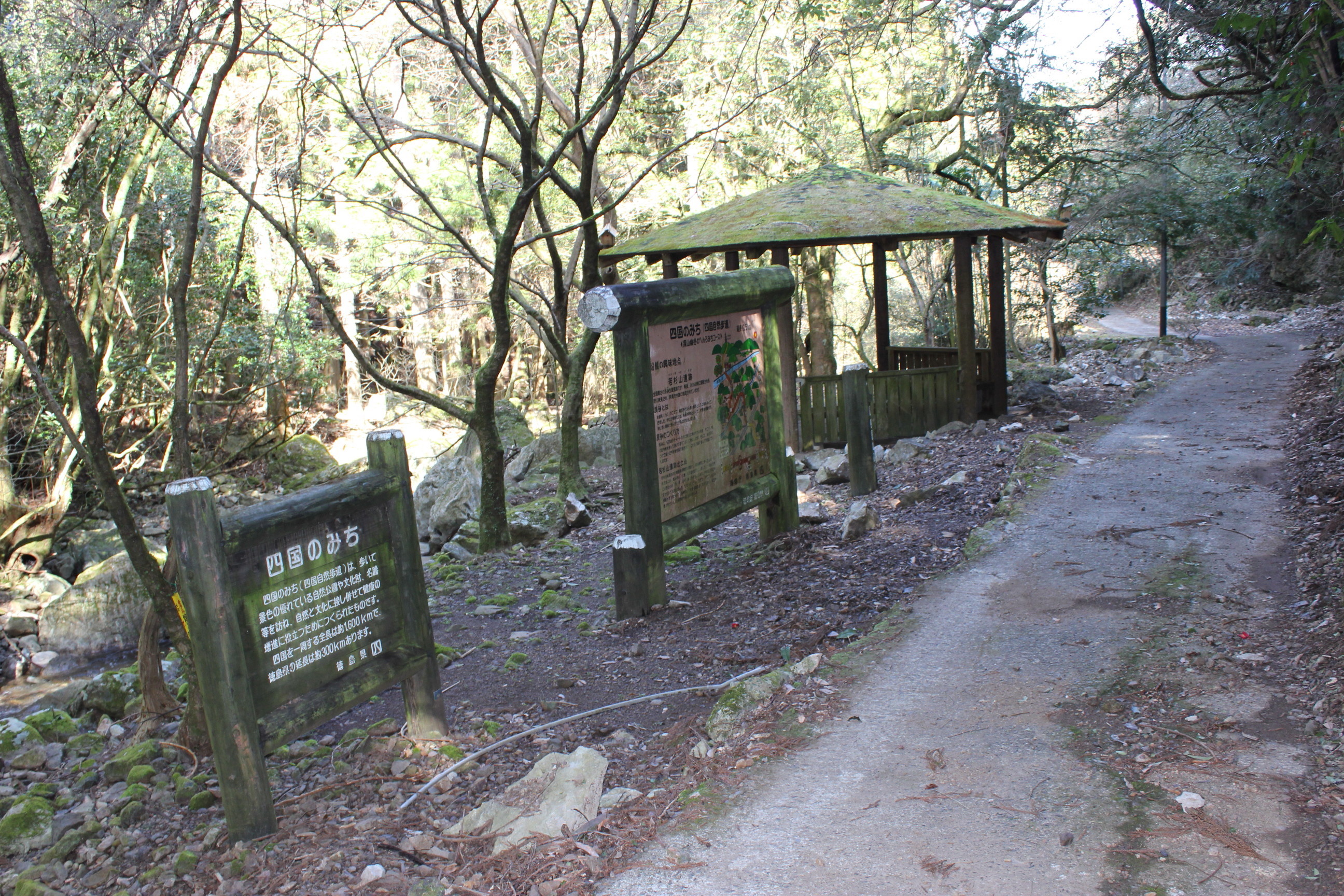
| Hina-no-sato Byodoji route Schematic | 112.1 km |
|
detail | ||
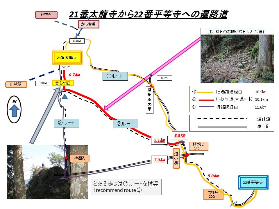
Hina-no-sato Byodoji route Schematic❖The approximately 20 km distance from Hinanosato to Byodoji Temple is a beautiful mountain pilgrimage route.❖This area is a depopulated area for pilgrimage inns. Be careful. ❖From Tairyu-ji Temple to Byodo-ji Temple, we recommend the ``Iwaya Michi''. detail─
contact─
map─
close
|
|||||
| Hut Kayabuki | 113 km |
|
detail | ||
Hut Kayabuki❖There is a toilet.❖Drinking water must be procured at Hinanosato. ❖September 2023. Thatched roof replacement. detail─
contact─
map─
close
|
|
|||||
| name | distance ? |
type ? |
QR code ? |
remark |
|
| Camp site Maegawa | 116 km |
|
detail | ||

Camp site MaegawaThis is a free campground run by the town.detail─
contact─
map─
close
|
|||||
| Hut Sakamoto | 120 km |
|
detail | ||

Hut SakamotoThere is no running water or toilet.detail─
contact─
map─
close
|
|||||
| name | distance ? |
type ? |
QR code ? |
remark |
|
| Closed elementary school campsite | 118 km |
|
detail | ||
Closed elementary school campsite❖Closed elementary school campsite.❖There is running water and toilets. detail─
contact─
map─
close
|
|||||
| Rest aera Jizoji | 119 km |
|
detail | ||
Rest aera JizojiThere is no running water or toilet.detail─
contact─
map─
close
|
|||||
| Hut Suii | 119.5 km |
|
detail | ||
Hut SuiiThere is no running water or toilet.detail─
contact─
map─
close
|
|||||
| Hut Wakasugi | 120 km |
|
detail | ||
Hut WakasugiThere is no running water or toilet.detail─
contact─
map─
close
|
| name | distance ? |
type ? |
QR code ? |
remark |
|
| There are 3 routes to #22 | 123 km |
|
detail | ||
There are 3 routes to #22There are 3 routes to No. 22 Byodoji Temple.Toaru-aruki-henro recommend route ② detail─
contact─
map─
close
|
|
|||||
| name | distance ? |
type ? |
QR code ? |
remark |
|
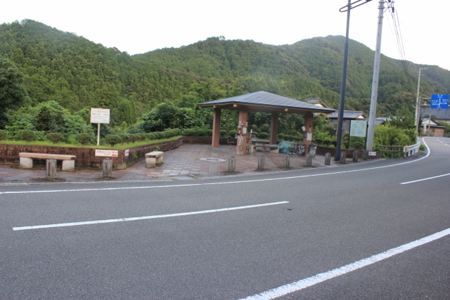
| Michi-no-eki Wajiki | 129 km |
|
detail | ||
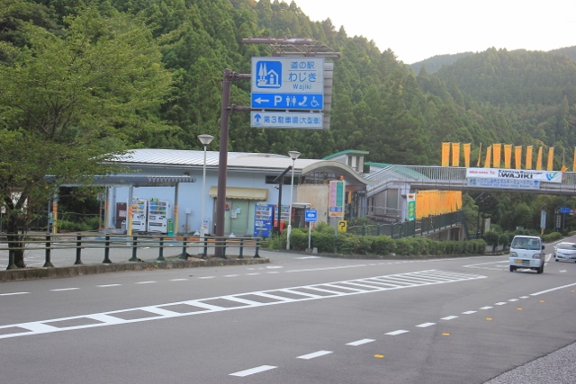
Michi-no-eki WajikiThis is a roadside station near Asebi Pass.news─
detail─
contact─
map─
close
|
|||||
|
|||||
| name | distance ? |
type ? |
QR code ? |
remark |
|
| Michi-no-eki Washi-no-sato | 127 km |
|
detail | ||
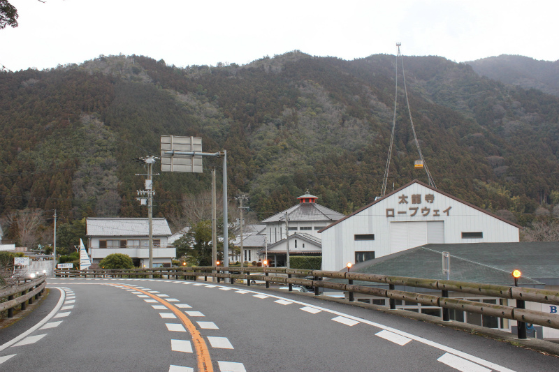
Michi-no-eki Washi-no-satoTairyuji Ropeway Station is a roadside station.news─
detail─
contact─
map─
close
|
|||||
21-22 merged route |
|||||
| name | distance ? |
type ? |
QR code ? |
remark |
|
| Henro-koya PJJ #03 Asebi | 129 km |
|
detail | ||
Henro-koya PJJ #03 AsebiThere is no running water or toilet.detail─
contact─
map─
close
|
|||||
| Henro-koya PJ #47 Oone | 131 km |
|
detail | ||
Henro-koya PJ #47 OoneThere is no running water or toilet.detail─
contact─
map─
close
|
|||||
| name | distance ? |
type ? |
QR code ? |
remark |
|
| Fukui-Dan Park | 137 km |
|
detail | ||
Fukui-Dan ParkFukui Dam is a park along the pilgrimage route.Please clean it after use. detail─
contact─
map─
close
|
|||||
| Henro-koya PJ #04 Kaneuchi | 139 km |
|
detail | ||
Henro-koya PJ #04 KaneuchiThere is no drinking water or toilets.detail─
contact─
map─
close
|
|||||
| Closed elementary school | 140 km |
|
detail | ||
Closed elementary school❖This is a rest area that was utilized by a closed elementary school.❖There is drinking water and toilets. detail─
contact─
map─
close
|
|||||
| There is two route | 140 km |
|
detail | ||
There is two route❖There are two routes from the Fukui area of Anan City.❖A1 :Coastal route following the old pilgrimage route A2:Route along the road after World War II (after 1945) ❖Toaruarukihenro recommends route A1. detail─
contact─
map─
close
|
|
|||||
| name | distance ? |
type ? |
QR code ? |
remark |
|
| Rest aera Hegawa. | 141 km |
|
detail | ||
Rest aera Hegawa.There is no toilets or drinking water.detail─
contact─
map─
close
|
|||||
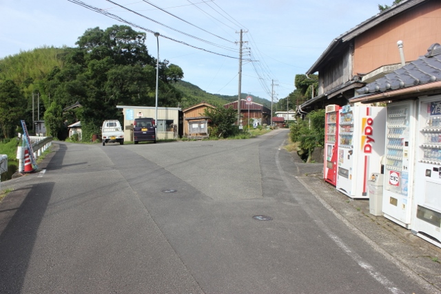
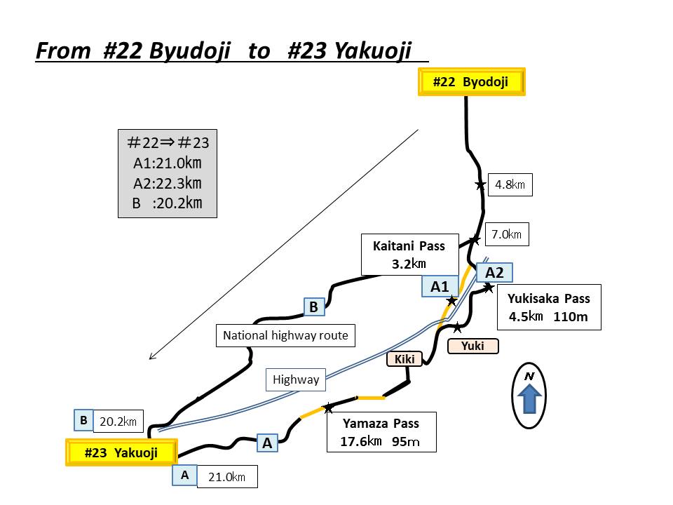
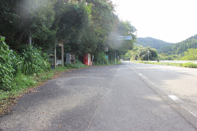
| Kaitani-pass old route | 141 km |
|
detail | ||
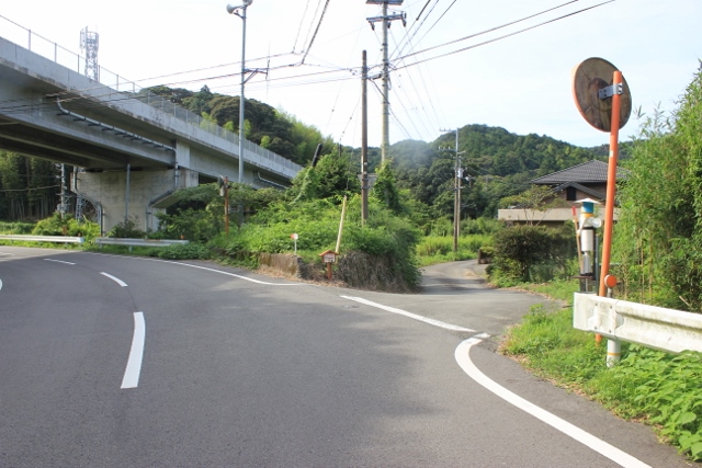
Kaitani-pass old route❖Walk 1km from the junction and you will find yourself under the expressway overpass.❖On the left is the road Pilgrimage Road(4.5㎞), and on the right is the Kaidani Pass Kodo (3.2km). ❖A certain walking pilgrim recommends the Kaidani Pass Kodo. detail─
contact─
map─
close
|
|||||
| Hut Yukisaka | 142 km |
|
detail | ||
Hut YukisakaThere is no running water or toilets.detail─
contact─
map─
close
|
|||||
| Tainohama camp site | 143 km |
|
detail | ||
Tainohama camp site❖A scenic campsite.❖Drinking water, toilets, and showers available. ❖There is no usage fee. detail─
contact─
map─
close
|
|||||
| Hut Shirahama | 144 km |
|
detail | ||
Hut Shirahama❖A scenic hut.❖There is drinking water and toilets. detail─
contact─
map─
close
|
|||||
| Yamaza-pass rest area | 146 km |
|
detail | ||
Yamaza-pass rest areaThere is no running water or toilets.detail─
contact─
map─
close
|
|||||
| Hut Ebisuhama | 147 km |
|
detail | ||
Hut EbisuhamaThere is no running water or toilets.detail─
contact─
map─
close
|
|||||
| Camp site Ebisuhama | 149 km |
|
detail | ||
Camp site Ebisuhama❖There is running water or toilet.❖There is paid hot shower. ❖Usage fee is 500yen. detail─
contact─
map─
close
|
|||||
| Rest area Oohama-Koibitomisaki | 151 km |
|
detail | ||
Rest area Oohama-KoibitomisakiThere is no running or toilets.detail─
contact─
map─
close
|
|||||
|
|||||
| name | distance ? |
type ? |
QR code ? |
remark |
|
| Hut Hosigoe | 141 km |
|
detail | ||
Hut HosigoeThere is no running water or toilets.detail─
contact─
map─
close
|
|||||
| Hut Kubou | 146 km |
|
detail | ||
Hut KubouThere is no running water or toilets.detail─
contact─
map─
close
|
|||||
| Henro-koya PJ #52 Kaizokusen | 150 km |
|
detail | ||
Henro-koya PJ #52 KaizokusenThere is running water or toilets.detail─
contact─
map─
close
|
|||||
| name | distance ? |
type ? |
QR code ? |
remark |
|
| Minami-cho Information center | 153 km |
|
avairable | detail | |
Minami-cho Information center❖The tourist information center is located in a corner of Hiwasa Roadside Station.❖If you have any problems during your pilgrimage, they will be happy to help. news─
detail─
contact─
map─
close
|
|||||
| Hut Hiwasa-tunnel | 157 km |
|
detail | ||
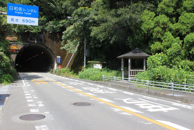
Hut Hiwasa-tunnelThere is no running water or toilets.detail─
contact─
map─
close
|
|||||
| Henro-koya PJ #40 Hiwasa | 158 km |
|
detail | ||
Henro-koya PJ #40 HiwasaThere is no running water or toilets.detail─
contact─
map─
close
|
|||||
| Shop Okazaki rest house | 165 km |
|
detail | ||
Shop Okazaki rest house❖This is a resting place.❖Accommodation is not possible ❖There is running water or toilets. detail─
contact─
map─
close
|
|||||
| Henro-koya PJ #50 Mugi | 169 km |
|
detail | ||
Henro-koya PJ #50 MugiThere is drinking water and toiletsdetail─
contact─
map─
close
|
|||||
| Camp site Mazeno-oka | 176 km |
|
detail | ||
Camp site Mazeno-oka❖This is a public campground.❖It's a little off the pilgrimage route. ❖The usage fee is 1,840 yen. detail─
contact─
map─
close
|
|||||
| Camp site Oozuna | 174 km |
|
detail | ||
Camp site Oozunadetail─
contact─
map─
close
|
|||||
| Cafe Fukunaga rest house | 176 km |
|
detail | ||
Cafe Fukunaga rest house❖Not in the hut. It is a resting place.❖You can also eat there. ❖You can get information about the pilgrimage ahead. detail─
contact─
map─
close
|
|||||
| Rest area Ichiutani | 176.2 km |
|
detail | ||
Rest area IchiutaniThere is no runninng water or toilets.detail─
contact─
map─
close
|
|||||
| Hut Sousei | 177 km |
|
detail | ||
Hut SouseiThere is no running water or toilets.detail─
contact─
map─
close
|
|||||
| Rest area Henro-koya PJ #01 Kaho | 180 km |
|
detail | ||
Rest area Henro-koya PJ #01 Kaho❖This is a resting place.❖Overnight stays are prohibited. ❖There is drinking water and toilets. detail─
contact─
map─
close
|
|||||
| Hut Kaifu | 181 km |
|
detail | ||
Hut KaifuThere is no running water or toilets.detail─
contact─
map─
close
|
|||||
| Camp site Isaribi-no-mori | 182 km |
|
detail | ||
Camp site Isaribi-no-moridetail─
contact─
map─
close
|
|||||
| Henro-koya PJ #39 Nasa | 182 km |
|
detail | ||
Henro-koya PJ #39 Nasa❖There is drinking water or toilets nearby.❖There is a campsite nearby detail─
contact─
map─
close
|
|||||
| Kaiyo-cho Information center | 187 km |
|
detail | ||
Kaiyo-cho Information centerThis is a roadside station with a tourist information center attached.news─
detail─
contact─
map─
close
|
|||||
| Henro-koya PJ #06 Shishikui | 187 km |
|
detail | ||
Henro-koya PJ #06 ShishikuiThere is no drinking water or toilets.There is Shishikui-hot-spring nearby. detail─
contact─
map─
close
|
| name | distance ? |
type ? |
QR code ? |
remark |
|
| Hut Mitani | 190 km |
|
detail | ||
Hut Mitani❖You can use the Mitani Construction toilet.❖There is an outlet and you can charge it. detail─
contact─
map─
close
|
|||||
| Umi-no-eki Touyou-cho | 190.5 km |
|
detail | ||
Umi-no-eki Touyou-cho❖There is a campsite.❖The usage fee is 1260 yen. ❖Be careful when using the shower. news─
detail─
contact─
map─
close
|
|||||
| Hut Higashtsume | 194 km |
|
detail | ||
Hut HigashtsumeThere is no drinking water or toilets.detail─
contact─
map─
close
|
|||||
| Hut Goro-goro | 198 km |
|
detail | ||

Hut Goro-goroThere is no running water or toilets.detail─
contact─
map─
close
|
|||||
| Hut Tobiishi | 205 km |
|
detail | ||
Hut TobiishiThere is no running water or toilets.detail─
contact─
map─
close
|
|||||
| Closed school⇒Aquarium | 219 km |
|
detail | ||
Closed school⇒AquariumA closed elementary school has been turned into an aquarium.news─
detail─
contact─
map─
close
|
|||||
| Hur Shiina | 219.5 km |
|
detail | ||
Hur Shiina❖This is a hut that is easy to overlook.❖There is no drinking water or toilets. detail─
contact─
map─
close
|
|||||
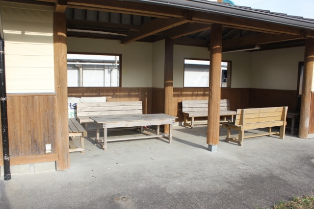
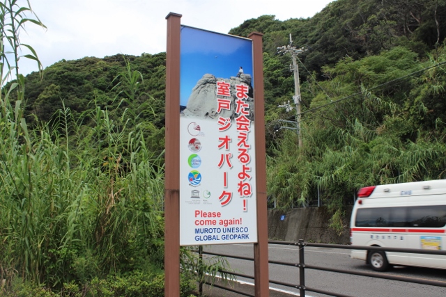
| Hut Muroto Geopark center | 222 km |
|
avairable | detail | |
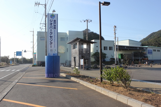
Hut Muroto Geopark center❖Muroto Geopark Center has a tourist information center.❖If you have any problems, please contact us and we will help you. detail─
contact─
map─
close
|
|||||
| Depopulated area with accommodation and toilets Ⅱ(Muroto area). | 195 km |
|
detail | ||
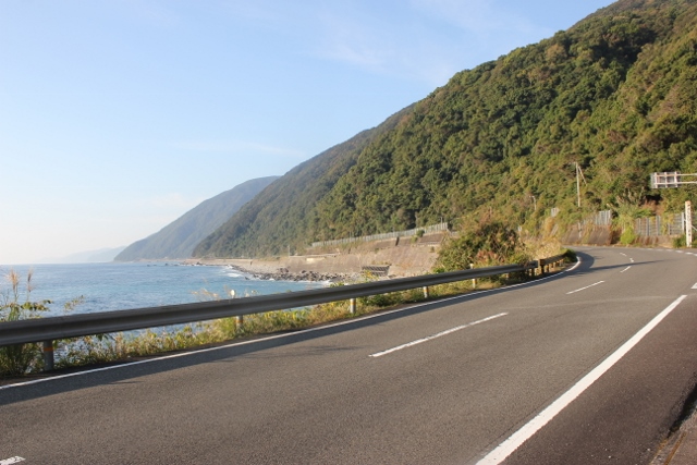
Depopulated area with accommodation and toilets Ⅱ(Muroto area).❖This is a monotonous pilgrimage route along the coastline that stretches for approximately 40km.❖It is a depopulated area with pilgrimage inns. This is an area where finding accommodation can be difficult. ❖There are also few toilets, convenience stores, vending machines, etc. ❖This is a pilgrimage route where you need to be especially careful about the toilets. detail─
contact─
map─
close
|
|||||
| Toile information | 202 km |
|
detail | ||
Toile informationThe toilets here are not clean enough.detail─
contact─
map─
close
|
|||||
| Toile information | 210 km |
|
detail | ||

Toile information❖Local residents are cleaning. Thank you to the local residents.❖Clean it after use. detail─
contact─
map─
close
|
| name | distance ? |
type ? |
QR code ? |
remark |
|
| Hut Motokou | 237 km |
|
detail | ||
Hut MotokouThere is no running water or toilets.detail─
contact─
map─
close
|
|||||
| Hut Wakichi | 238 km |
|
detail | ||
Hut Wakichi❖There is drinking water, toilet and shower facilities here.❖Please check the status of shower facilities yourself. detail─
contact─
map─
close
|
|||||
| Hut Hane-cape | 252 km |
|
detail | ||
Hut Hane-capeThere are toilets and drinking water.detail─
contact─
map─
close
|
| name | distance ? |
type ? |
QR code ? |
remark |
|
| Hut Fudouiwa | 241 km |
|
detail | ||
Hut FudouiwaThere are toilets and drinking water.detail─
contact─
map─
close
|
|||||
| Michi-no-eki Kira-Messe | 242 km |
|
detail | ||
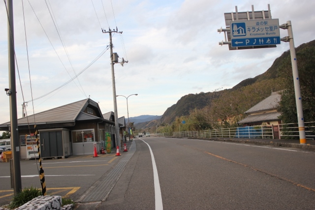
Michi-no-eki Kira-MesseThis is a roadside station along the coast.There's a nice toilet. news─
detail─
contact─
map─
close
|
|||||
| Hut Kiragawa | 245 km |
|
detail | ||
Hut KiragawaThere is runnig water or toilets.detail─
contact─
map─
close
|
|||||
| Hut Tateishi | 246 km |
|
detail | ||
Hut TateishiThere is no running water or toilets.detail─
contact─
map─
close
|
|||||
| Hut Sunokawa | 257 km |
|
detail | ||
Hut SunokawaThere is no running or toilets.detail─
contact─
map─
close
|
|||||
| Hut Naharigawa | 259 km |
|
detail | ||
Hut NaharigawaThere is running water or toilets.detail─
contact─
map─
close
|
|||||
| Michi-no-eki Tanoeki-ya | 260 km |
|
detail | ||
.jpg)
Michi-no-eki Tanoeki-yaRoad station in front of Kuroshio Railway “Tano Station”detail─
contact─
map─
close
|
|||||
| Kounomine Henro support center | 264 km |
|
avairable | detail | |
Kounomine Henro support center❖The climb to No. 27 Konomine-ji is steep.❖Konomine family mart offers a free baggage storage service. ❖You can leave your luggage and visit the No Konomine-ji news─
detail─
contact─
map─
close
|
|||||
| Hut Kounomine | 267 km |
|
detail | ||
Hut KounomineThere is toilets.detail─
contact─
map─
close
|
| name | distance ? |
type ? |
QR code ? |
remark |
|
| Michi-no-eki Ooyama | 275 km |
|
detail | Under renovation | |
Michi-no-eki OoyamaUnder renovationnews─
detail─
contact─
map─
close
|
|||||
| Hut Ioki | 280 km |
|
detail | ||
Hut IokiThere is no running water or toilets.detail─
contact─
map─
close
|
|||||
| Aki Information center | 282 km |
|
avairable | detail | |
Aki Information center❖This is a tourist information center for the eastern region of Kochi Prefecture.❖Free rental cycle service provided. ❖A VR theater and touch-panel tourist information system (English available) will be installed. news─
detail─
contact─
map─
close
|
|||||
| Hut ???-park | 282 km |
|
detail | ||
Hut ???-parkThere is no toilets.detail─
contact─
map─
close
|
|||||
| Hut Kariyon Squair | 283 km |
|
detail | ||
Hut Kariyon SquairThere is running wate or toilets.detail─
contact─
map─
close
|
|||||
| Comfortable pedestrian and bicycle path along the coast | 283.1 km |
|
detail | ||
Comfortable pedestrian and bicycle path along the coastApproximately 15km from Aki Honsha bus stop (283km point) to Yasu Michi-no-Eki is a comfortable pedestrian and bicycle path along the coast.detail─
contact─
map─
close
|
|||||
| Hut Ananai | 285 km |
|
detail | ||
Hut AnanaiThere is no running water or toilets.detail─
contact─
map─
close
|
|||||
| Akano Observatory rest please. | 289 km |
|
detail | ||
Akano Observatory rest please.There is running water or toilets.detail─
contact─
map─
close
|
|||||
| Akano rest house | 289 km |
|
detail | ||
Akano rest houseThere is no toilets.detail─
contact─
map─
close
|
|||||
| Hut Mitani & Yojyu-sou rest please | 294 km |
|
detail | ||
Hut Mitani & Yojyu-sou rest pleaseMitani Construction Hut has drinking water and toilets.detail─
contact─
map─
close
|
|||||
| Hut Nishibun port | 295.5 km |
|
detail | ||
Hut Nishibun portThere is runnimg water or toilet.detail─
contact─
map─
close
|
|||||
| Rest house Tei | 297 km |
|
detail | ||
Rest house TeiThere is no running water or toilet.detail─
contact─
map─
close
|
|||||
| MIchi-no-eki Yasu | 297 km |
|
detail | ||
MIchi-no-eki Yasu❖This is a roadside station set up by the Konan City Tourist Information Center.❖No camping or camping allowed. news─
detail─
contact─
map─
close
|
|||||
| Henro-koya PJ #28 Matsumoto-Daishi-do | 311 km |
|
detail | ||
Henro-koya PJ #28 Matsumoto-Daishi-doThere is runnig water or toilets.detail─
contact─
map─
close
|
|||||
| Rest aera Higashizaki | 312 km |
|
detail | ||
Rest aera HigashizakiThere is running water.detail─
contact─
map─
close
|
| name | distance ? |
type ? |
QR code ? |
remark |
|
| Hut Convenience FamilyMart | 313 km |
|
detail | ||
Hut Convenience FamilyMartHut on the premises of a convenience storeToilet and drinking water available detail─
contact─
map─
close
|
| name | distance ? |
type ? |
QR code ? |
remark |
|
| Henro-koya PJ #05 Kamohara | 320 km |
|
detail | ||
Henro-koya PJ #05 KamoharaDrinking water availabledetail─
contact─
map─
close
|
|
|
|||||
| name | distance ? |
type ? |
QR code ? |
remark |
|
| Tosa Terrace Information center | 325 km |
|
avairable | detail | |
Tosa Terrace Information center❖General tourist information center in front of JR Kochi Station❖English-speaking staff available detail─
contact─
map─
close
|
|||||
| name | distance ? |
type ? |
QR code ? |
remark |
|
| Hut Sekido-ike | 334 km |
|
detail | ||
Hut Sekido-ikeThere is no running water or toilets.detail─
contact─
map─
close
|
| name | distance ? |
type ? |
QR code ? |
remark |
|
| Misato rest house | 334 km |
|
detail | ||
Misato rest houseThere is no running water or toilets.detail─
contact─
map─
close
|
|||||
| Niida rest house | 338 km |
|
detail | ||
Niida rest houseThere is no toilets.No roof. detail─
contact─
map─
close
|
|||||
| Camp site Tanezaki-Sensyo park | 340 km |
|
detail | ||
Camp site Tanezaki-Sensyo parkFree campsiteToilet and drinking water available detail─
contact─
map─
close
|
|||||
| Urado bay ferry boat | 341 km |
|
detail | ||
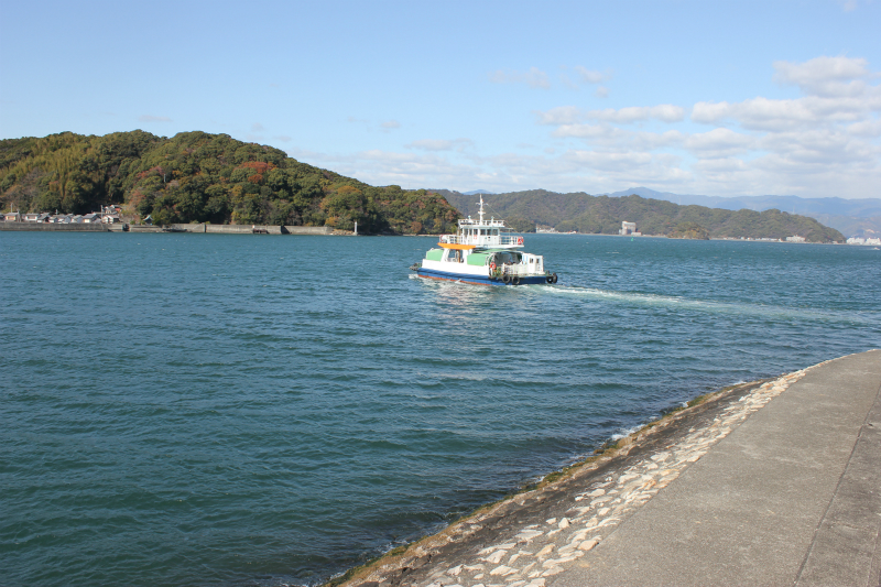
Urado bay ferry boatdetail─
contact─
map─
close
|
|||||
| Nagahama Settaisyo Henro support center | 342 km |
|
detail | Currnetly closed | |
Nagahama Settaisyo Henro support centerCurrnetly closed?detail─
contact─
map─
close
|
| name | distance ? |
type ? |
QR code ? |
remark |
|
| Ino Information center | 350 km |
|
avairable | detail | |

Ino Information centerThis is a tourist information center located a little far from the pilgrimage route.detail─
contact─
map─
close
|
| name | distance ? |
type ? |
QR code ? |
remark |
|
| Tosa Sasaoka hire Henro support cente | 357 km |
|
avairable | detail | |
Tosa Sasaoka hire Henro support cente❖We offer a free baggage storage service for the Kiyotaki Temple pilgrimage.❖Toilet and drinking water available detail─
contact─
map─
close
|
| name | distance ? |
type ? |
QR code ? |
remark |
|
| Hut Tsukaji | 366 km |
|
detail | ||
Hut TsukajiThere is running water.or toilets.detail─
contact─
map─
close
|
| name | distance ? |
type ? |
QR code ? |
remark |
|
| There are 3 routes to #37 | 372 km |
|
detail | ||
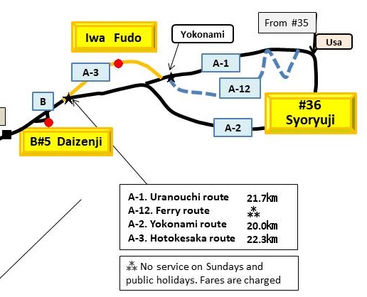
There are 3 routes to #37❖Approximately 25km from No. 36 Seiryuji to Bekkaku No. 5. ❖There are 3 routes.Route A: Uranouchi Bay course Route B: Hotokesaka course via Uranouchi Bay Route C: Yokonami course ❖Course A.B is an old road route. Course C is a route developed after the war. ❖Route A is the most commonly used. ❖Photo Left: A course Middle: A ship course Right: Yokonami course detail─
contact─
map─
close
|
|
|||||
| name | distance ? |
type ? |
QR code ? |
remark |
|
| Uranouchi Feree | 375 km |
|
detail | ||
Uranouchi Fereedetail─
contact─
map─
close
|
|||||
| Hut Umetate | 376 km |
|
detail | ||
Hut UmetateThere is no running water or toilets.detail─
contact─
map─
close
|
|||||
| Henro-koya PJ #17 Susaki | 393 km |
|
detail | ||
Henro-koya PJ #17 SusakiToilet and drinking water available.Accommodation possible. detail─
contact─
map─
close
|
|||||
|
|||||
| name | distance ? |
type ? |
QR code ? |
remark |
|
| Hut Uranouchi Nishibun | 391 km |
|
detail | ||
Hut Uranouchi NishibunThere is no running water or toilets.detail─
contact─
map─
close
|
|||||
♯36-37 merged route Ⅰ |
|||||
| name | distance ? |
type ? |
QR code ? |
remark |
|
| Michi-no-eki Kawauso-no-sato Susaki | 399 km |
|
avairable | detail | |
Michi-no-eki Kawauso-no-sato SusakiThis is a roadside station with a tourist information center.news─
detail─
contact─
map─
close
|
|||||
| Hut Yakesaka | 407 km |
|
detail | ||
Hut YakesakaThere is no running water or toilets.detail─
contact─
map─
close
|
|||||
| There is two route for Nanako pass route | 410 km |
|
detail | ||
.jpg)
There is two route for Nanako pass routeThere are two Nanako Pass routes (410-417km).A: Soemimizu course B: Osaka course Course A is a mountain road Course B is a road with no traffic. Photo 1 is a turning point. A course is on the right. B course goes straight Photos 2 and 3 are A course, Photos 4 and 5 are B course detail─
contact─
map─
close
|
|||||
|
|||||
| name | distance ? |
type ? |
QR code ? |
remark |
|
| Henro-koya PJ #17 Sui-fuyo | 412 km |
|
detail | ||
Henro-koya PJ #17 Sui-fuyoThere is no running water or toilets.detail─
contact─
map─
close
|
|||||
| Hut Soemimizu | 413 km |
|
detail | ||
Hut SoemimizuThere is no running water or toilets.detail─
contact─
map─
close
|
|||||
|
|||||
| name | distance ? |
type ? |
QR code ? |
remark |
|
| Hut Kure-tachime | 411 km |
|
detail | ||
.jpg)
Hut Kure-tachimeThere is running water or toilets.detail─
contact─
map─
close
|
|||||
| Hut Oosakatani | 415 km |
|
detail | ||
Hut OosakataniThere is no running water or toilets.detail─
contact─
map─
close
|
|||||
|
|||||
| name | distance ? |
type ? |
QR code ? |
remark |
|
| Michi-no-eki Nakatosa | 413 km |
|
detail | ||
Michi-no-eki NakatosaThis is a roadside station a little far from the pilgrimage route.news─
detail─
contact─
map─
close
|
|||||
36-37 merged route Ⅱ |
|||||
| name | distance ? |
type ? |
QR code ? |
remark |
|
| Hut Kageno(Oyukitubaki) | 421 km |
|
detail | ||
Hut Kageno(Oyukitubaki)There is no running water or toilets.detail─
contact─
map─
close
|
|||||
| Fujiyuu-kan Henro support center | 425 km |
|
detail | ||
Fujiyuu-kan Henro support centerA rest area with toilets and drinking water.detail─
contact─
map─
close
|
|||||
| Michi-no-eki Aguri Kubokawa | 427 km |
|
detail | ||
Michi-no-eki Aguri KubokawaIt's a roadside station.There is no tourist information center. news─
detail─
contact─
map─
close
|
|||||
| name | distance ? |
type ? |
QR code ? |
remark |
|
| Hut Ichinose | 436 km |
|
detail | ||
Hut IchinoseThere is running water or toilets.detail─
contact─
map─
close
|
|||||
| Hut Kobushinokawa | 439 km |
|
detail | ||
Hut KobushinokawaThere is no running water or toilets.detail─
contact─
map─
close
|
|||||
| Henro-koya PJ #13 Saga | 440 km |
|
detail | ||
Henro-koya PJ #13 Saga❖Pilgrimage hut next to Kobushi no Sato.❖Kobushi no Sato is closed. ❖There are toilets and drinking water. detail─
contact─
map─
close
|
|||||
| Hut Funakawahasi | 441 km |
|
detail | ||
Hut FunakawahasiThere is no running water or toilets.detail─
contact─
map─
close
|
|||||
| Kokuronokawa | 442 km |
|
detail | ||
KokuronokawaThere is no running water or toilets.detail─
contact─
map─
close
|
|||||
| MIMichi-no-eki Nabura-Tosasaga | 449 km |
|
detail | ||
MIMichi-no-eki Nabura-TosasagaThis is a roadside station with a tourist information center.news─
detail─
contact─
map─
close
|
|||||
| Yokohama-tosasaga rest hut | 450 km |
|
detail | ||
Yokohama-tosasaga rest hutThere is no running water or toilets.detail─
contact─
map─
close
|
|||||
| Hut Tosasaga park | 452 km |
|
detail | ||
Hut Tosasaga parkThere is running water or toilets.detail─
contact─
map─
close
|
|||||
| Shirahama rest hut | 453 km |
|
detail | ||
Shirahama rest hutThere is no running water or toilets.detail─
contact─
map─
close
|
|||||
| Hut Nada-park | 456 km |
|
detail | ||
Hut Nada-park❖There are toilets and drinking water.❖The takoyaki at the entrance to Nada Park is hearty and delicious. detail─
contact─
map─
close
|
|||||
| Henro-koya PJ #22 Ogata | 462 km |
|
detail | ||
Henro-koya PJ #22 OgataThere is no running water or toilets.detail─
contact─
map─
close
|
|||||
| Ukibuchi Campsite | 462 km |
|
detail | ||
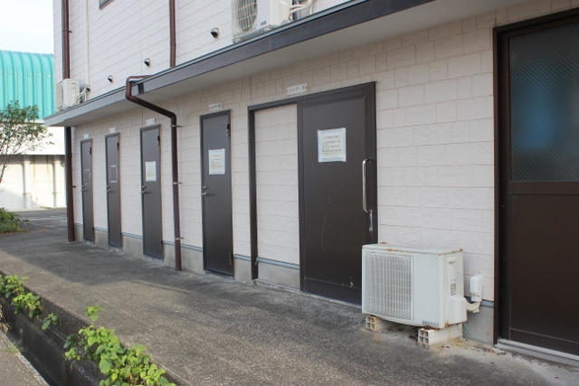
Ukibuchi Campsite❖A campsite located at Ukibuchi Beach.❖There are toilets, drinking water and shower facilities. detail─
Shower
contact─
map─
close
|
|||||
| Tosa Seinan Large-Scale Park | 464 km |
|
detail | ||
Tosa Seinan Large-Scale ParkTosa Seinan Large-Scale Park has a tourist information center, campground, accommodation facilities, etc.detail─
contact─
map─
close
|
|
|||||
| name | distance ? |
type ? |
QR code ? |
remark |
|
| Irino Matsubara Camp site | 464.5 km |
|
detail | ||
Irino Matsubara Camp site❖This is a campsite in Tosa Seinan Large Park.❖Usage fee: 510 yen ❖Contact phone number:0880-43-0105 detail─
contact─
map─
close
|
|||||
| Hut Tano Kakise | 467 km |
|
detail | ||
Hut Tano KakiseThere is no toiletdetail─
contact─
map─
close
|
|||||
| Hut Shimannto bridge | 476 km |
|
detail | ||
Hut Shimannto bridgeThere is no running water or toilets.detail─
contact─
map─
close
|
|||||
|
|||||
| name | distance ? |
type ? |
QR code ? |
remark |
|
| Shimanto-city information center | 473 km |
|
avairable | detail | |
Shimanto-city information centerThis is a tourist information center located in front of Kuroshio Railway Nakamura Station.detail─
contact─
map─
close
|
|||||
| Shimanto-river Camp site | 477 km |
|
detail | ||
Shimanto-river Camp sitedetail─
contact─
map─
close
|
|||||
|
|||||
| name | distance ? |
type ? |
QR code ? |
remark |
|
| Shimannto | 478 km |
|
detail | ||
Shimanntodetail─
contact─
map─
close
|
|||||
#37-38 merged route |
|||||
| name | distance ? |
type ? |
QR code ? |
remark |
|
| Henro-koya PJ #54 Shimanto | 480 km |
|
detail | ||
Henro-koya PJ #54 ShimantoThere is running water or toilets.detail─
contact─
map─
close
|
|||||
| Hut container | 483 km |
|
detail | ||
Hut containerThere is a toilet, but there is no drinking water.detail─
contact─
map─
close
|
|||||
| Hut Ichinose | 485 km |
|
detail | ||
Hut IchinoseThere is running water or toilets.detail─
contact─
map─
close
|
|||||
| Zinbe Squier | 500 km |
|
detail | ||
Zinbe Squier❖A plaza next to Iburi Port.❖There are toilets and drinking water. ❖The shower is being repaired. detail─
contact─
map─
close
|
|||||
| name | distance ? |
type ? |
QR code ? |
remark |
|
| #38-39 route is 6 route?. | 513 km |
|
detail | ||
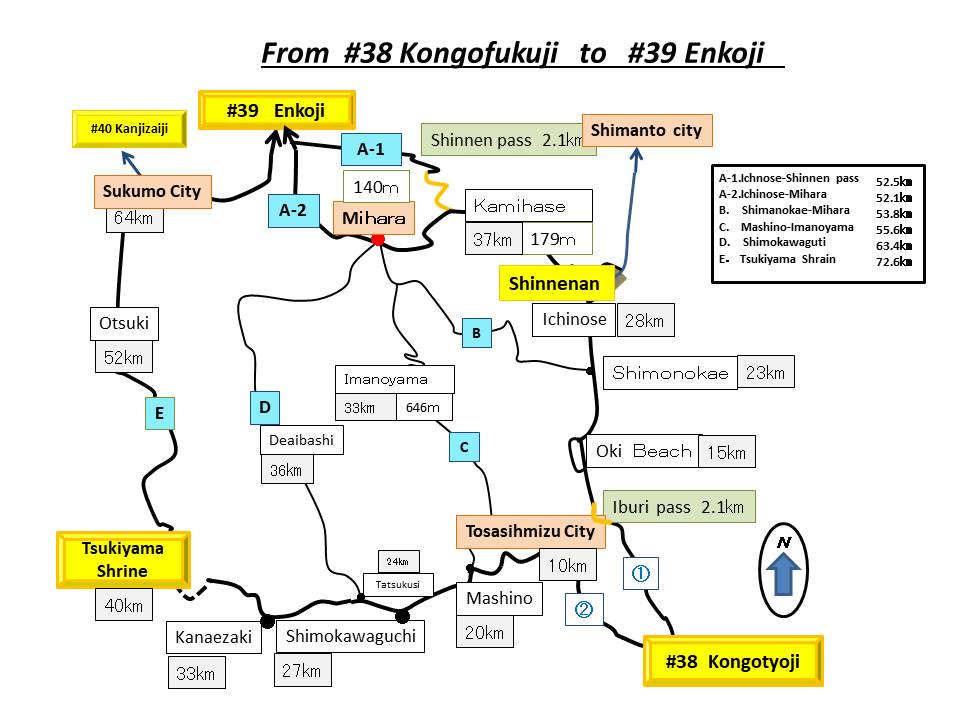
#38-39 route is 6 route?.❖There are six routes to No. 39 Enkoji Temple.A1: 52.5km via Ichinose-Shinen-an A2: 52.1km via Ichinose-Mihara B: 53.8km via Shimonokae-Mihara C: 55.6km via Masuno-Mihara D: 63.4km via Shimokawaguchi-Mihara E: Via Tsukinomiya Shrine 72.6 km ❖The A.B course is the most used, followed by the E ❖ C.D courses, which have few signposts, toilets, etc., and fewer walking pilgrimages. detail─
contact─
map─
close
|
|
|||||
| name | distance ? |
type ? |
QR code ? |
remark |
|
| Manjiro Ashiyu rest house | 513 km |
|
detail | ||
Manjiro Ashiyu rest house❖This footbath is located at the tip of Cape Ashizuri.❖You can enjoy a spectacular view of Hakusan Cave while taking a footbath. news─
detail─
contact─
map─
close
|
|||||
| Henro-koya PJ #20 Ashizuri | 515 km |
|
detail | ||
Henro-koya PJ #20 AshizuriThere is no running water or toilets.detail─
contact─
map─
close
|
|||||
| Setsuzyu-en Henro support center | 516 km |
|
detail | ||
Setsuzyu-en Henro support centerThis is a reception center located in Matsuo village.detail─
contact─
map─
close
|
|||||
|
|||||
| name | distance ? |
type ? |
QR code ? |
remark |
|
| Mihara Camp site | 545 km |
|
detail | ||
Mihara Camp sitedetail─
contact─
map─
close
|
|||||
| Hut MIhara-naruyama | 548 km |
|
detail | ||
Hut MIhara-naruyamaThere is no running water or toilets.detail─
contact─
map─
close
|
|||||
| Yamabiko Cafe Henro support center | 555 km |
|
detail | ||
Yamabiko Cafe Henro support center"Yamabiko Cafe" is a wonderful shop run by the residents of Mihara Village.news─
detail─
contact─
map─
close
|
|||||
| Umenoki Park | 560 km |
|
detail | ||
Umenoki ParkThere is running water or toiletsdetail─
contact─
map─
close
|
|||||
| Hut Nakasujikawa | 561 km |
|
detail | ||
Hut NakasujikawaThere is running water or toilets.detail─
contact─
map─
close
|
|||||
|
|||||
| name | distance ? |
type ? |
QR code ? |
remark |
|
| Hut Enomura | 560 km |
|
detail | ||
Hut EnomuraThere is toilets.detail─
contact─
map─
close
|
|||||
| Hut Enomura-Daishido | 562 km |
|
detail | ||
Hut Enomura-DaishidoThere is no running water or toilets.detail─
contact─
map─
close
|
|||||
|
|||||
| name | distance ? |
type ? |
QR code ? |
remark |
|
| Tosashimizu Information center | 528 km |
|
detail | ||
Tosashimizu Information centerThis is a tourist information center located at Umi no Eki Ashizuri.news─
detail─
contact─
map─
close
|
|||||
| Michi-no-eki Mejika-no-sato | 535 km |
|
detail | ||
Michi-no-eki Mejika-no-satoThis is a hut located at the roadside station Mejika no Sato.detail─
contact─
map─
close
|
|||||
| Hut Tatsukushi Marine Park | 535 km |
|
detail | ||
Hut Tatsukushi Marine ParkThis is a hut located within Tatsukushi Marine Park.detail─
contact─
map─
close
|
|||||
| Tatsukushi snow peak Camp site | 535 km |
|
detail | ||
Tatsukushi snow peak Camp siteThis is a campsite located within Tatsukushi Marine Park.detail─
contact─
map─
close
|
|||||
| Hut Katakasu | 541 km |
|
detail | ||
Hut KatakasuThere is no running water or toilets.detail─
contact─
map─
close
|
|||||
| Hut Kanaezaki | 546 km |
|
detail | ||

Hut Kanaezaki❖There is no running water or toilets.❖There are many domestic cats here. Be careful if you don't like cats. detail─
contact─
map─
close
|
|||||
| Rest house Kanaezaki observatory | 546 km |
|
detail | ||
Rest house Kanaezaki observatoryThere is no running water or toilets.detail─
contact─
map─
close
|
|||||
| Hut Kosaitsuno | 548 km |
|
detail | ||
Hut KosaitsunoThere is running water.or toiletsdetail─
contact─
map─
close
|
|||||
| Hut Oura-bunki | 550 km |
|
detail | ||
Hut Oura-bunkiThere is running water or toilets.detail─
contact─
map─
close
|
|||||
| Hut Yochimitaya | 550.2 km |
|
detail | ||
Hut YochimitayaThis is an accommodation facility managed by local residents.detail─
contact─
map─
close
|
|||||
| Kashinishi Camp site | 558 km |
|
detail | ||
Kashinishi Camp sitedetail─
contact─
map─
close
|
|||||
| Otsuki Capm site | 561 km |
|
detail | ||
Otsuki Capm sitedetail─
contact─
map─
close
|
|||||
| MIchi-no-eki Fureai park Otsuki | 564 km |
|
avairable | detail | |
MIchi-no-eki Fureai park OtsukiThis is a roadside station with a tourist information center.news─
detail─
contact─
map─
close
|
|||||
| Michi-no-eki Sukumo | 576 km |
|
detail | ||
Michi-no-eki SukumoThis is a roadside station with shower facilities.news─
detail─
Shower
contact─
map─
close
|
|||||
| name | distance ? |
type ? |
QR code ? |
remark |
|
| Henro-kya PJ #33 Sukumo | 573 km |
|
detail | ||
Henro-kya PJ #33 SukumoThere is no running water or toilets.detail─
contact─
map─
close
|
|||||
| Sukumo Information Center | 574 km |
|
avairable | detail | |
Sukumo Information CenterThis is a tourist information center located inside Kuroshio Railway Sukumo Station.news─
detail─
contact─
map─
close
|
|||||
| Hut Matsuo-daishido | 580 km |
|
detail | ||
Hut Matsuo-daishidoThere is a toilet. No drinking water.detail─
contact─
map─
close
|
| name | distance ? |
type ? |
QR code ? |
remark |
|
| Hut Toyota | 592 km |
|
detail | ||
Hut ToyotaThere is running water. No toilets.detail─
contact─
map─
close
|
| name | distance ? |
type ? |
QR code ? |
remark |
|
| There are three route | 593.1 km |
|
detail | ||
There are three route★There are three routes from No. 40 Kanjizaiji Temple towards Uwajima: Nada Road (50.1km), Nakamichi (50.8km), and Sasayama Road (67.2km).❖Nakamichi is an attractive road, but it is not well maintained. Sasayamado is not often walked. ❖If you are attempting the Nakamichi, we recommend that you get information from Mr. Omori (090-7787-0490), who is actively maintaining this Nakamichi. detail─
contact─
map─
close
|
|
|||||
| name | distance ? |
type ? |
QR code ? |
remark |
|
| Kamimaki Henro-dojyo | 605 km |
|
detail | ||
Kamimaki Henro-dojyo❖ ``Kamimaki Henro Dojo'' is located in the Kamimaki district on the Nakamichi route, 15 km from Kanjizaiji Temple, the 40th temple, and 1.2 km from Shogando Pass.❖The accommodation fee is for 1 hour or more of volunteer work around Kamimaki Henro Dojo. Guests should contact Mr. Omori (090-7787-0490) in advance. detail─
contact─
map─
close
|
|||||
|
|||||
| name | distance ? |
type ? |
QR code ? |
remark |
|
| Michi-no-eki Misho MIC | 595 km |
|
detail | ||
Michi-no-eki Misho MICThis is a roadside station with a tourist information center.news─
detail─
contact─
map─
close
|
|||||
| Uchinomi Observatory rest area | 604 km |
|
detail | ||
Uchinomi Observatory rest areaThere is no running water or toilets.detail─
contact─
map─
close
|
|||||
| Uchinomi Rest house | 605 km |
|
detail | ||
Uchinomi Rest house❖There are toilets and drinking water. Tea service available❖Service hours are during the day(8:00-17:00). ❖Accommodation is not possible. news─
detail─
contact─
map─
close
|
|||||
| Uchinomi Information | 605 km |
|
avairable | detail | |
Uchinomi InformationThis is a tourist information center.detail─
contact─
map─
close
|
|||||
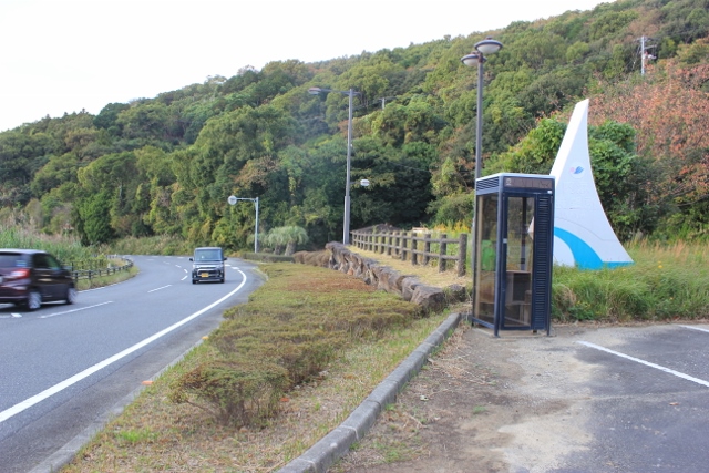
| There is two route for Kashiwasaka route | 605.1 km |
|
detail | ||
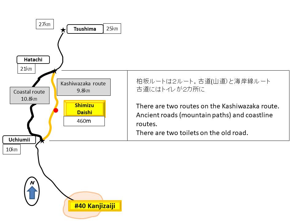
There is two route for Kashiwasaka route❖There are two routes for about 10km from here.A: Ancient Kashiwazaka route(9.8㎞ 460m) B: National highway route along the coastline(10.8㎞). ❖Route A seems to be popular!!! detail─
contact─
map─
close
|
|||||
|
|||||
| name | distance ? |
type ? |
QR code ? |
remark |
|
| Hut Sado | 610 km |
|
detail | ||
Hut SadoThere is no running water or toilets..detail─
contact─
map─
close
|
|||||
|
|||||
| name | distance ? |
type ? |
QR code ? |
remark |
|
| Hut Uchinomi Fureai-hiroba | 606 km |
|
detail | ||
Hut Uchinomi Fureai-hirobaThere are toilets and drinking water a short distance away.detail─
contact─
map─
close
|
|||||
| Sunokawa Camp site | 609 km |
|
detail | ||
Sunokawa Camp siteCampsite in Sunokawa Parkdetail─
contact─
map─
close
|
|||||
| Hut Nishiyuugyo Center | 612 km |
|
detail | ||
Hut Nishiyuugyo CenterThere is running water or toilets.detail─
contact─
map─
close
|
|||||
| Hut Arashizaka Pocket Park | 614 km |
|
detail | ||
Hut Arashizaka Pocket ParkThere is running water or toilets.detail─
contact─
map─
close
|
|||||
|
|
|||||
| name | distance ? |
type ? |
QR code ? |
remark |
|
| Henro-koya PJ #19 Kamoda | 617 km |
|
detail | ||
Henro-koya PJ #19 Kamoda❖This is a resting place.❖Accommodation is not possible. ❖There are toilets and drinking water. detail─
contact─
map─
close
|
|||||
| Hut Izumi Security guarantee | 619 km |
|
detail | ||
Hut Izumi Security guaranteeThere are toilets and drinking water provided by the facility provider.detail─
contact─
map─
close
|
|||||
| Michi-no-eki Yasuragi-no-sato | 622 km |
|
detail | Closed for renovation. | |
Michi-no-eki Yasuragi-no-satoClosed for renovation.news─
detail─
contact─
map─
close
|
|||||
| Hut Tenya | 624 km |
|
detail | ||
Hut TenyaThere is running water or toilets.detail─
contact─
map─
close
|
|||||
| Henro-koya PJ #26 Wanya | 625 km |
|
detail | ||
Henro-koya PJ #26 WanyaThere is no running water or toilets.detail─
contact─
map─
close
|
|||||
| Hut Incinirator | 626 km |
|
detail | ||
Hut InciniratorThere is no running water or toilets.detail─
contact─
map─
close
|
|||||
♯40-41 merged |
|||||
| name | distance ? |
type ? |
QR code ? |
remark |
|
| Michi-no-eki Uwajima Kisaiya Hiroba | 635 km |
|
detail | ||
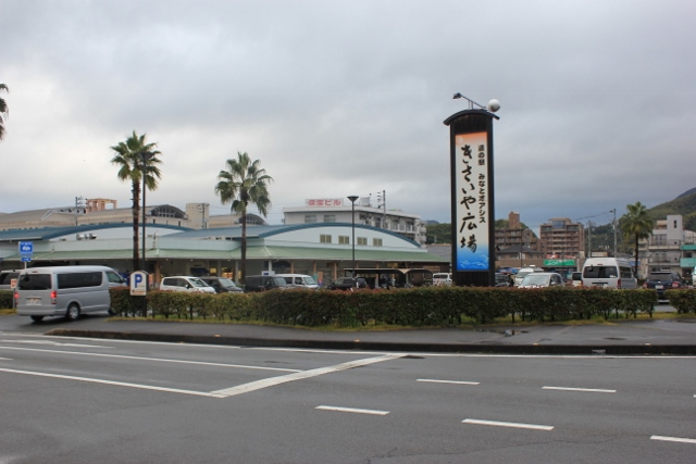
Michi-no-eki Uwajima Kisaiya HirobaThis is a roadside station with a tourist information center.news─
detail─
contact─
map─
close
|
|||||
| Uwajima Sightseeing Guide | 636 km |
|
avairable | detail | |
Uwajima Sightseeing GuideA tourist information center located at the entrance to Uwajima Castle. We have staff who can speak English.news─
detail─
contact─
map─
close
|
|||||
| Henro-koya PJ #21 Uwazima | 642 km |
|
detail | ||
Henro-koya PJ #21 UwazimaThere is a toilet, but it is an old style toilet.It's a little dirty. detail─
contact─
map─
close
|
|||||
| Michi-no-eki Mima | 644 km |
|
detail | ||

Michi-no-eki MimaThis is a roadside station with a tourist information center.news─
detail─
contact─
map─
close
|
|||||
| name | distance ? |
type ? |
QR code ? |
remark |
|
| Hut Hanaga-entrance | 650 km |
|
detail | ||
Hut Hanaga-entranceThere is no running water or toilets.detail─
contact─
map─
close
|
|||||
| Hanaga tunnel exit hut | 652 km |
|
detail | ||
Hanaga tunnel exit hutThere is no running water or toilets.detail─
contact─
map─
close
|
|||||
| Hut Hanaga-jizo | 653 km |
|
detail | ||
Hut Hanaga-jizoThere is no running water or toilets.detail─
contact─
map─
close
|
|||||
| Rest area Mimamori-JIzo | 656 km |
|
detail | ||
Rest area Mimamori-JIzoNo toilet, drinking water availabledetail─
contact─
map─
close
|
|||||
| Michi-no-eki Donburikan | 658 km |
|
detail | ||
Michi-no-eki DonburikanThis is a roadside station with a tourist information center.news─
detail─
contact─
map─
close
|
|||||
| Seiyo-city Uwa Sport park | 659 km |
|
detail | ||
Seiyo-city Uwa Sport parkdetail─
contact─
map─
close
|
| name | distance ? |
type ? |
QR code ? |
remark |
|
| Henro-koya PJ #16 Uwa | 662 km |
|
detail | ||
Henro-koya PJ #16 UwaNo toilet, drinking water availabledetail─
contact─
map─
close
|
|||||
| Hut Beside South Tecnology center | 664 km |
|
detail | ||
Hut Beside South Tecnology centerNo toilet, drinking water availabledetail─
contact─
map─
close
|
|||||
| Henro-koya PJ ♯49 Higikawa | 668 km |
|
detail | ||
Henro-koya PJ ♯49 HigikawaThere is a toilet. No drinking waterdetail─
contact─
map─
close
|
|||||
| The most dangerous pilgrimage route | 668.5 km |
|
detail | ||
The most dangerous pilgrimage route❖There are two routes from Hijigawa Genryunosato to Pocket Park Fudakake.Route A: Old road (crossing Torisaka Pass) 5.7km. Route B: National Highway Tunnel Road is 4.5km. ❖Route B, the National Highway Tunnel Route, has no sidewalks and is frequented by large trucks, making it the most dangerous pilgrimage route in Shikoku. ❖For all you walking pilgrims, please turn left from the national highway and walk on the ancient path over Tosaka Pass. detail─
contact─
map─
close
|
|||||
| Hut entrance Totusaka | 669 km |
|
detail | ||
Hut entrance TotusakaThere is no running water or toilets. detail─
contact─
map─
close
|
|||||
| Hut Pocket Park Hudakake | 675 km |
|
detail | ||
Hut Pocket Park HudakakeThere is running water or toilets.detail─
contact─
map─
close
|
|||||
| Hijikawa Camp site | 680 km |
|
detail | ||
Hijikawa Camp siteThere is running water or toilets.detail─
contact─
map─
close
|
|||||
| Oozu Machi-no-eki Asamoya | 681 km |
|
avairable | detail | |
Oozu Machi-no-eki AsamoyaThis is a roadside station with a tourist information center.news─
detail─
contact─
map─
close
|
|||||
| Hut behind Ozu Station | 681 km |
|
detail | ||
Hut behind Ozu StationThere is no running water or toilets.detail─
contact─
map─
close
|
|||||
| Hut Kanondo | 689 km |
|
detail | ||
Hut KanondoYou can use the toilets and drinking water at the adjacent private facility.detail─
contact─
map─
close
|
|||||
| Michi-no-eki Uchiko Fresh Park Karari | 692 km |
|
detail | ||
Michi-no-eki Uchiko Fresh Park KarariThere is no tourist information center.news─
detail─
contact─
map─
close
|
|||||
| Chisei Park Camp site | 692.3 km |
|
detail | ||
Chisei Park Camp siteThis is a campground adjacent to a roadside station.Free of charge. detail─
contact─
map─
close
|
|||||
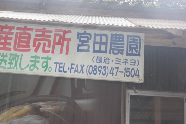
| Hut Nagaokayama | 698 km |
|
detail | ||
Hut Nagaokayama❖Toilet and drinking water available❖Please contact us when using ❖0893-47-1504 detail─
contact─
map─
close
|
|||||
| Rest house Kakeki | 701 km |
|
detail | ||
Rest house KakekiThere is running water.detail─
contact─
map─
close
|
|||||
| Hut Oose | 702 km |
|
detail | ||

Hut OoseThere is running water.detail─
contact─
map─
close
|
|||||
| Hut Oose Ⅱ | 702.5 km |
|
detail | ||
Hut Oose ⅡThere is no running water. or toilets.detail─
contact─
map─
close
|
|||||
| Hut Oose Ⅲ | 704 km |
|
detail | ||
Hut Oose ⅢThere is no running water or toilets.detail─
contact─
map─
close
|
|||||
| Hut Senninyado Daishi-do | 705 km |
|
detail | ||
Hut Senninyado Daishi-doPlease contact us in advance when staying0893-47-0529 detail─
contact─
map─
close
|
|||||
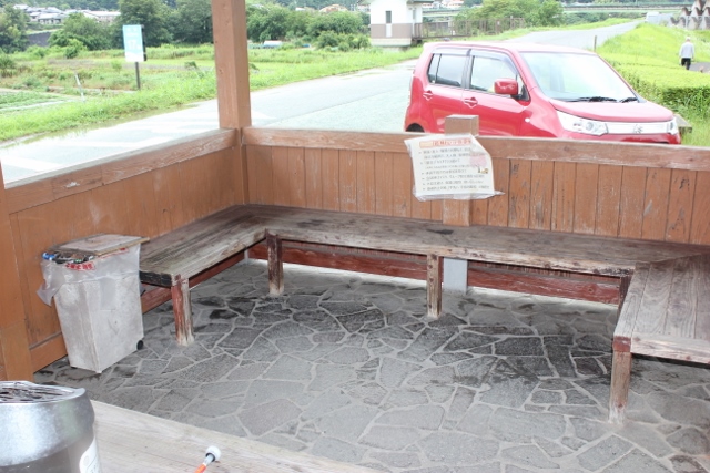
| There is two route for #44 Daikoji | 709 km |
|
detail | ||
There is two route for #44 Daikoji❖The distance from here to No. 44 Daikoji Temple is approximately 20 km. There are two routes in this section.❖There are two routes: the Hiwada Pass route and the Noso Pass route. The Hiwada Pass route has many mountain passes. ❖Noso Pass has many roads. There are few inns in this area. detail─
contact─
map─
close
|
|
|||||
| name | distance ? |
type ? |
QR code ? |
remark |
|
| Henro-koya PJ #38 Uchiko | 709 km |
|
detail | ||
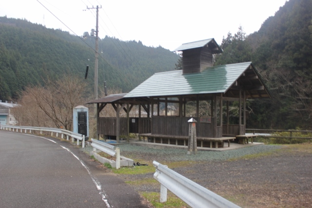
Henro-koya PJ #38 UchikoThere is running water or toiltes.detail─
contact─
map─
close
|
|||||
| Namihei Udon restaurant | 710 km |
|
detail | ||
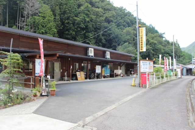
Namihei Udon restaurantUdon restaurant on the Uta Pass route.detail─
contact─
map─
close
|
|||||
| Hut Takinoue | 714 km |
|
detail | ||
Hut TakinoueThere is running water or toilets.detail─
contact─
map─
close
|
|||||
| Rest area Nimyo | 723 km |
|
detail | ||
Rest area NimyoThere is no running water or toiletsdetail─
contact─
map─
close
|
|||||
| Hut Hiwada | 725 km |
|
detail | ||
Hut Hiwadadetail─
contact─
map─
close
|
|||||
|
|||||
| name | distance ? |
type ? |
QR code ? |
remark |
|
| Michi-no-eki Seseragi | 712 km |
|
avairable | detail | |
Michi-no-eki SeseragiThis is a roadside station with a tourist information center attached.news─
detail─
contact─
map─
close
|
|||||
| Hut Donoue Bridge | 714 km |
|
detail | ||
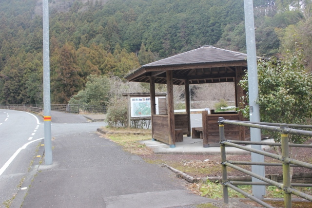
Hut Donoue BridgeThere is no running water or toiletsdetail─
contact─
map─
close
|
|||||
| Hut Mayumi | 719 km |
|
detail | ||
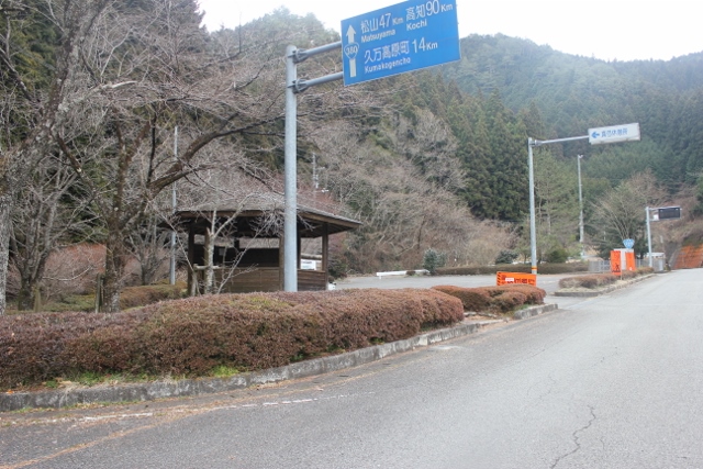
Hut MayumiThere is no running water or toiletsdetail─
contact─
map─
close
|
|||||
| Hut Tsuyumine | 721 km |
|
detail | ||
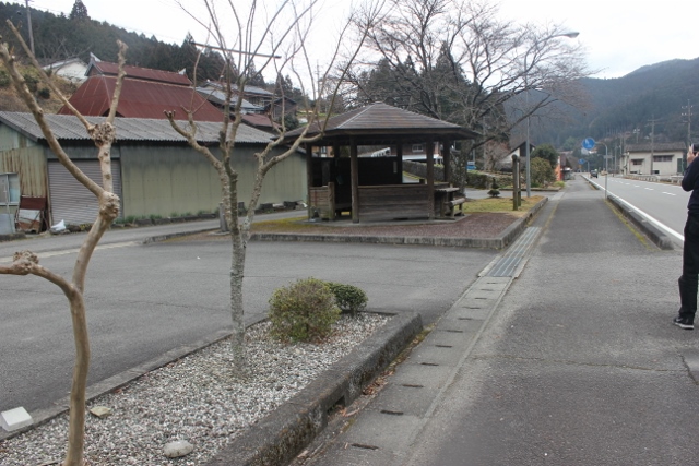
Hut TsuyumineThere is running water or toiletsdetail─
contact─
map─
close
|
|||||
| name | distance ? |
type ? |
QR code ? |
remark |
|
| Hut Kawai | 732 km |
|
detail | ||
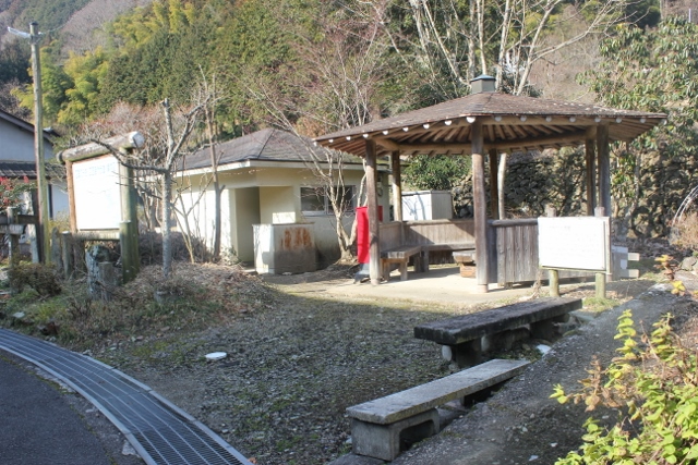
Hut KawaiThere is running water or toiletsdetail─
contact─
map─
close
|
|||||
| Hut Furusato -mura | 732 km |
|
detail | ||
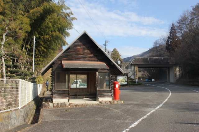
Hut Furusato -muraThere is no running water or toilets.detail─
contact─
map─
close
|
|||||
| Furusato Camp site | 733 km |
|
detail | ||
Furusato Camp sitedetail─
contact─
map─
close
|
|||||
| Hut Hacyosaka | 733 km |
|
detail | ||
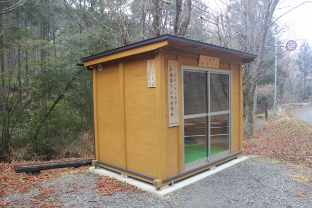
Hut HacyosakaThere is no running water or toiletsdetail─
contact─
map─
close
|
| name | distance ? |
type ? |
QR code ? |
remark |
|
| Hut Furuiwaya | 742 km |
|
detail | ||
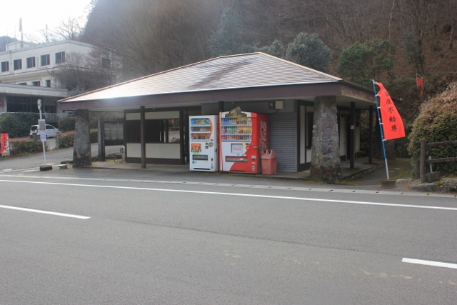
Hut FuruiwayaThere is running water or toiletsdetail─
contact─
map─
close
|
|
|||||
| name | distance ? |
type ? |
QR code ? |
remark |
|
| Senbon kougen Camp site | 748 km |
|
detail | ||
Senbon kougen Camp sitedetail─
contact─
map─
close
|
|||||
| Hut Senbon pass Obseratory | 748 km |
|
detail | ||
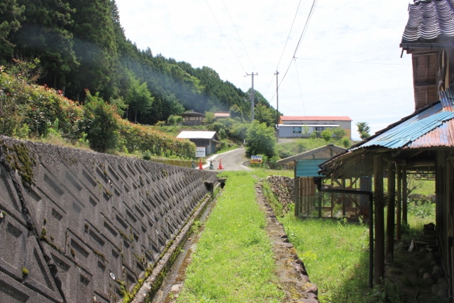
Hut Senbon pass ObseratoryThere is running water or toiletsdetail─
contact─
map─
close
|
|||||
|
|||||
| name | distance ? |
type ? |
QR code ? |
remark |
|
| Henro-Koya PJ #34 Touge-midou | 748 km |
|
detail | ||
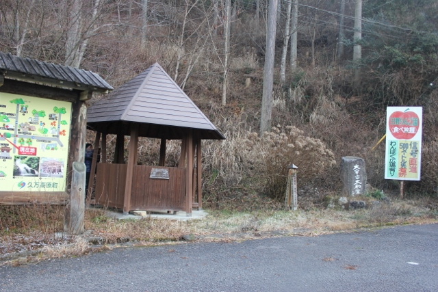
Henro-Koya PJ #34 Touge-midouThere is running water or toilets.detail─
contact─
map─
close
|
|||||
| Hut Near Kuma sport park | 748.5 km |
|
detail | ||
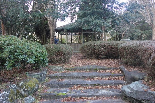
Hut Near Kuma sport parkThere is running water or toiletsdetail─
contact─
map─
close
|
|||||
| Kumakogen-cho Michi-no-eki | 749 km |
|
avairable | detail | |
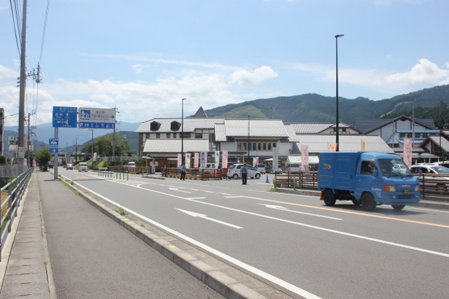
Kumakogen-cho Michi-no-ekiThis is a roadside station with a tourist information center attached.detail─
contact─
map─
close
|
|||||
|
|
|||||
| name | distance ? |
type ? |
QR code ? |
remark |
|
| Kayochan rest house | 754 km |
|
detail | ||
Kayochan rest houseThis is a reception area.There are toilets and drinking water. detail─
contact─
map─
close
|
|||||
| Hut Rest park Myoujin | 754 km |
|
detail | ||
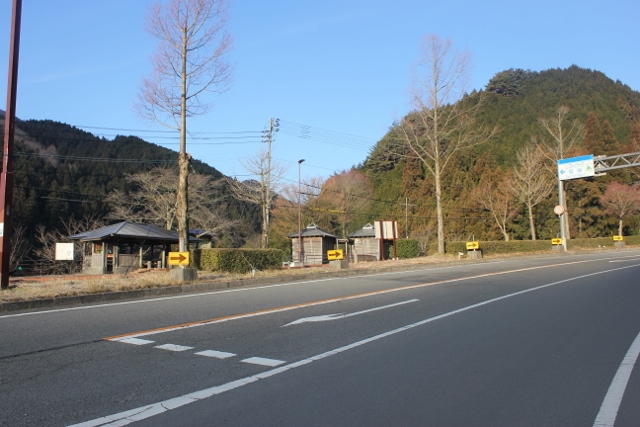
Hut Rest park MyoujinThere is running water or toilets.detail─
contact─
map─
close
|
|||||
| Ajisai-no-sato Yamakage | 756 km |
|
detail | ||
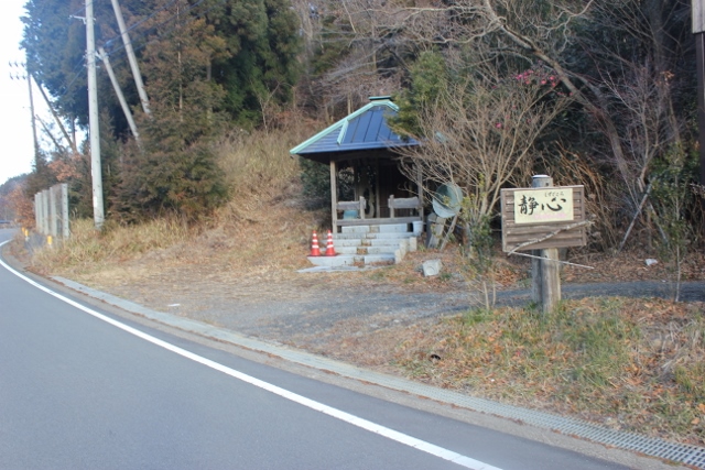
Ajisai-no-sato YamakageThere is no running water or toiletsdetail─
contact─
map─
close
|
|||||
| Hut Sakura | 758 km |
|
detail | ||
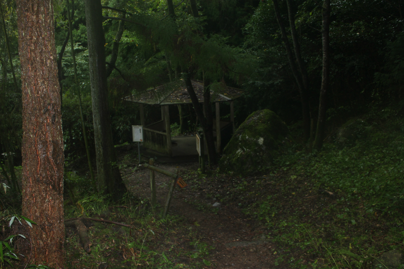
Hut SakuraThere is no running water or toilets.detail─
contact─
map─
close
|
|||||
| Sakamoto Rest house | 759 km |
|
detail | ||
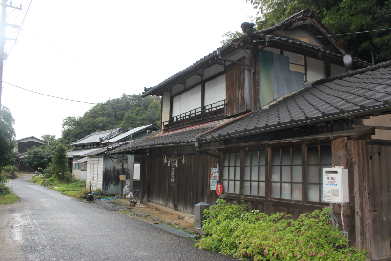
Sakamoto Rest house❖It is a famous entertainment place.❖Pay attention to business days. Check it out on the site. ❖https://sakamotoya-henro.jp/ detail─
contact─
map─
close
|
|||||
| name | distance ? |
type ? |
QR code ? |
remark |
|
| Hut Jyonofuchi | 768 km |
|
detail | ||
Hut JyonofuchiThis is a hut in Tsuenofuchi Park.It is one of the top 100 famous waters. detail─
contact─
map─
close
|
|
|||||
| name | distance ? |
type ? |
QR code ? |
remark |
|
| Henro-koya PJ #27 Kamadaisi | 804 km |
|
detail | ||
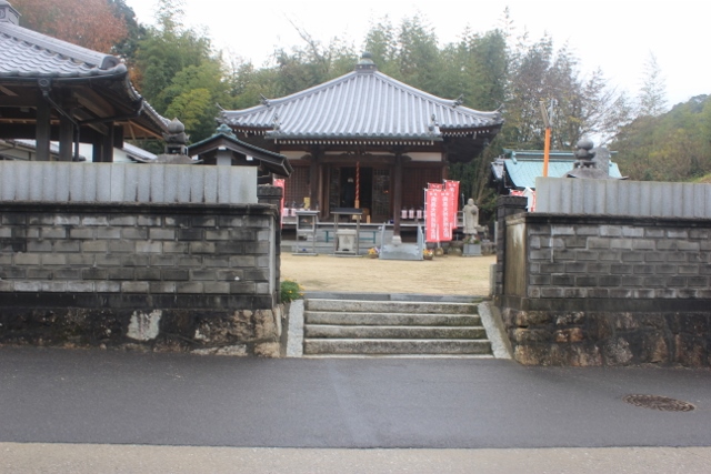
Henro-koya PJ #27 KamadaisiThere is running water or toilets.detail─
contact─
map─
close
|
|||||
| rest area Konosaka | 805 km |
|
detail | ||
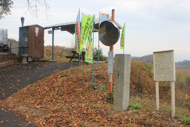
rest area KonosakaThere is toilets or running water.detail─
contact─
map─
close
|
|||||
|
|||||
| name | distance ? |
type ? |
QR code ? |
remark |
|
| Michi-no-eki Hayakaze-no-sato | 805 km |
|
detail | ||
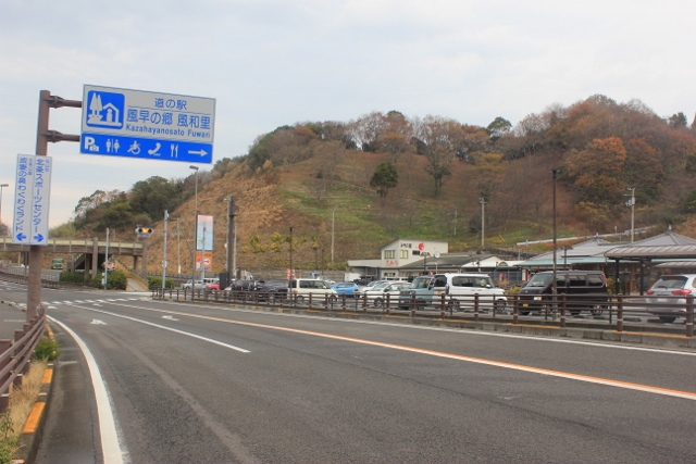
Michi-no-eki Hayakaze-no-satoThere is a pilgrimage rest area at the roadside station.news─
detail─
contact─
map─
close
|
|||||
53-54merged route |
|||||
| name | distance ? |
type ? |
QR code ? |
remark |
|
| Buji-Kaeru Rest house | 811 km |
|
detail | ||
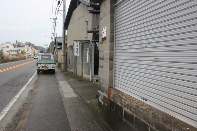
Buji-Kaeru Rest houseThis is a resting place.detail─
contact─
map─
close
|
|||||
| Hut Aoki-Jizo | 815 km |
|
detail | ||
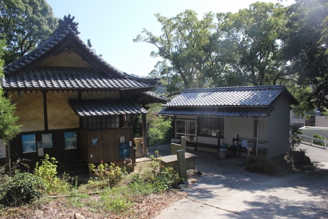
Hut Aoki-Jizo?????detail─
contact─
map─
close
|
|||||
| Hoshinoura marine Park | 820 km |
|
detail | ||
Hoshinoura marine ParkThere are shower toilets in the park.detail─
Shower
contact─
map─
close
|
|||||
| name | distance ? |
type ? |
QR code ? |
remark |
|
| Henro-koya PJ #41 Imabari Hidaka | 834 km |
|
detail | ||
Henro-koya PJ #41 Imabari HidakaThere are no toilets or drinking water.detail─
contact─
map─
close
|
|||||
| Hut Ikanashi | 836 km |
|
detail | ||
Hut IkanashiThere are no toilets or drinking water.detail─
contact─
map─
close
|
| name | distance ? |
type ? |
QR code ? |
remark |
|
| Henro-koya PJ #23 Senyu-ji | 837 km |
|
detail | ||
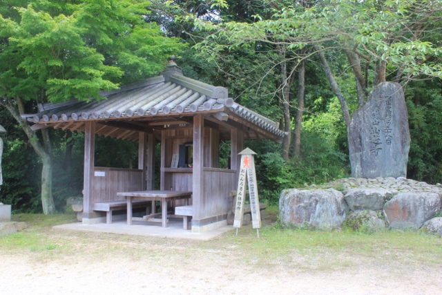
Henro-koya PJ #23 Senyu-jiThere are no toilets or drinking water.detail─
contact─
map─
close
|
| name | distance ? |
type ? |
QR code ? |
remark |
|
| Michi-no-eki Imabari Yunoura-onsen | 849 km |
|
avairable | detail | |
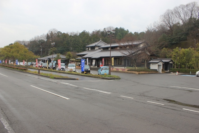
Michi-no-eki Imabari Yunoura-onsenThis is a roadside station with a tourist information center attached.news─
detail─
contact─
map─
close
|
|||||
| Setouchi Touyo Camp site | 850 km |
|
detail | ||
Setouchi Touyo Camp sitedetail─
contact─
map─
close
|
|||||
| Komyo-ji | 854 km |
|
detail | ||
Komyo-jidetail─
contact─
map─
close
|
|||||
| Familymart Ooto | 863 km |
|
detail | ||
Familymart Ootodetail─
contact─
map─
close
|
|||||
| Hut Daishido | 867 km |
|
detail | ||
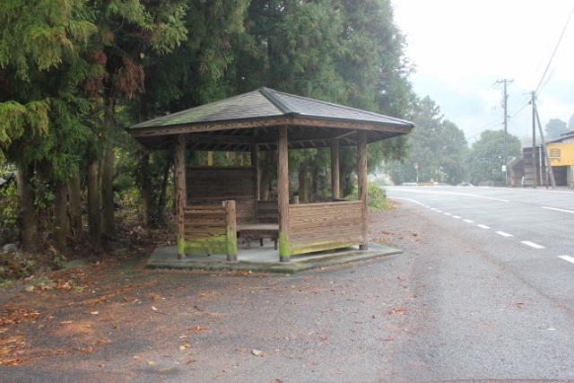
Hut DaishidoThere is no running water or toilets.detail─
contact─
map─
close
|
|||||
| Hut Yuanmi(Trailhead) | 870 km |
|
detail | ||
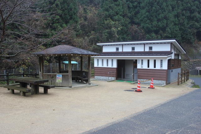
Hut Yuanmi(Trailhead)There is running water or toilets.detail─
contact─
map─
close
|
| name | distance ? |
type ? |
QR code ? |
remark |
|
| Hut Yokomine | 878 km |
|
detail | ||
Hut Yokominedetail─
contact─
map─
close
|
|||||
| Hut Shirataki | 880 km |
|
detail | ||
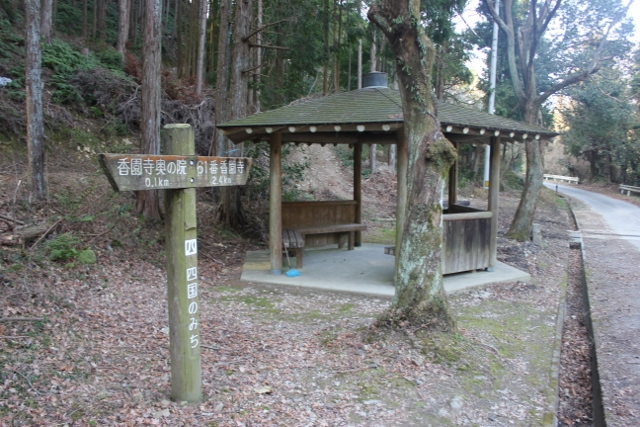
Hut ShiratakiThere is running water or toilets.detail─
contact─
map─
close
|
|||||
| Hut Ootani-ike | 882 km |
|
detail | ||
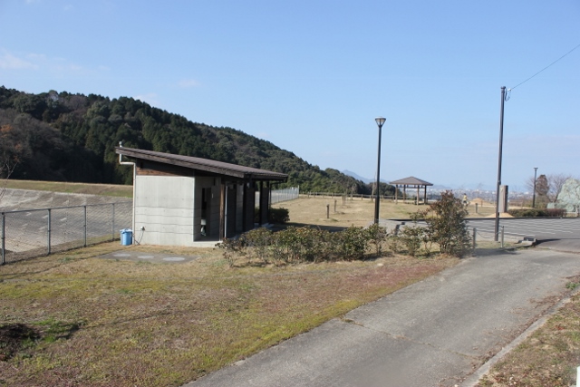
Hut Ootani-ikeThere is running water or toilets.detail─
contact─
map─
close
|
|||||
| Michi-no-eki Komashu-Oasis | 883 km |
|
detail | ||
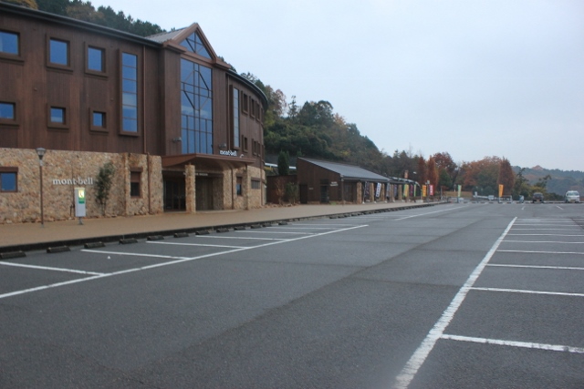
Michi-no-eki Komashu-Oasisnews─
detail─
contact─
map─
close
|
| name | distance ? |
type ? |
QR code ? |
remark |
|
| Hut | 889 km |
|
detail | ||
Hutdetail─
contact─
map─
close
|
|||||
| Hut Noguchi | 895 km |
|
detail | ||
Hut Noguchidetail─
contact─
map─
close
|
|||||
| Hut Beside Shop Fresh-value | 898 km |
|
detail | ||
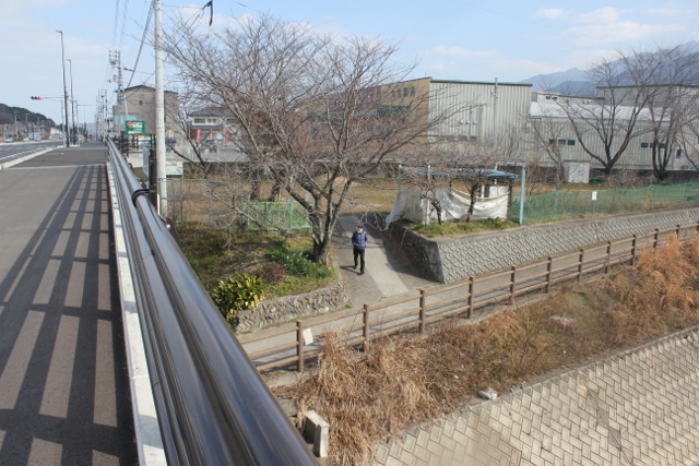
Hut Beside Shop Fresh-valueThere is running water or toilets.detail─
contact─
map─
close
|
|||||
| Hero-koya PJ #55 Yokoya | 904 km |
|
detail | ||
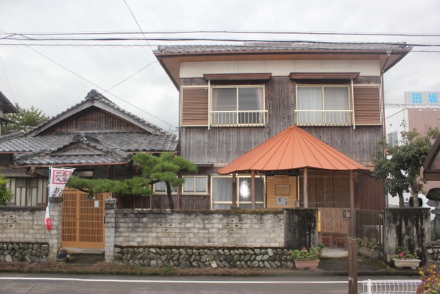
Hero-koya PJ #55 YokoyaThis is a reception area.There are no toilets and drinking water. detail─
contact─
map─
close
|
|||||
| Kobo-no-yakata Rest house | 911 km |
|
detail | ||
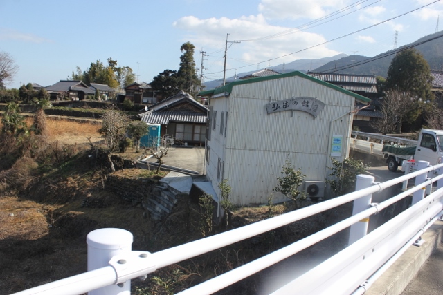
Kobo-no-yakata Rest houseThis is a reception area.There are toilets and drinking water. detail─
contact─
map─
close
|
|||||
| Hut Near Enmeiji | 916 km |
|
detail | ||
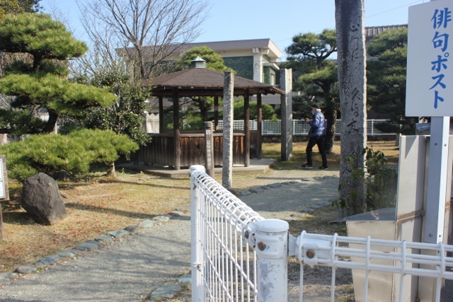
Hut Near EnmeijiThere is running water or toilets.detail─
contact─
map─
close
|
|||||
| Henro-koya PJ #43 Kosumosu | 927 km |
|
detail | ||
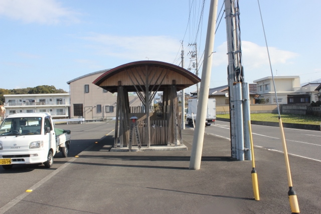
Henro-koya PJ #43 KosumosuThere is no running water or toilets.detail─
contact─
map─
close
|
|||||
| Hut Togawa Park | 930 km |
|
detail | ||
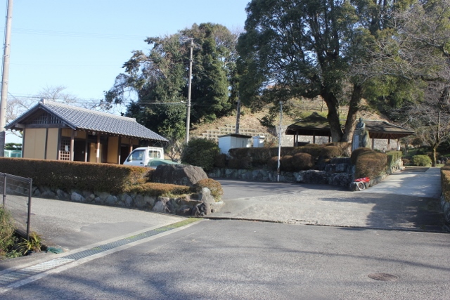
Hut Togawa ParkThere is running water or toilets.detail─
contact─
map─
close
|
|||||
| Depopulated area with accommodation and toilets Ⅳ(Sano area). | 932 km |
|
detail | ||
Depopulated area with accommodation and toilets Ⅳ(Sano area).The route from Shikoku-chuo-city(927km) to #67 Daiko-ji(962km) is a mountain pilgrimage route.This section is a sparsely populated area with no toilets or accommodation. Be careful. This is the area where finding accommodation is the most difficult. detail─
contact─
map─
close
|
| name | distance ? |
type ? |
QR code ? |
remark |
|
| Hut Hirayama | 940 km |
|
detail | ||
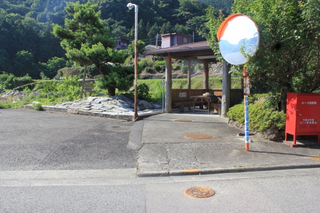
Hut HirayamaThere is no toilets.detail─
contact─
map─
close
|
| name | distance ? |
type ? |
QR code ? |
remark |
|
| Henro-koya PJ #31 Zenigata | 968 km |
|
detail | ||
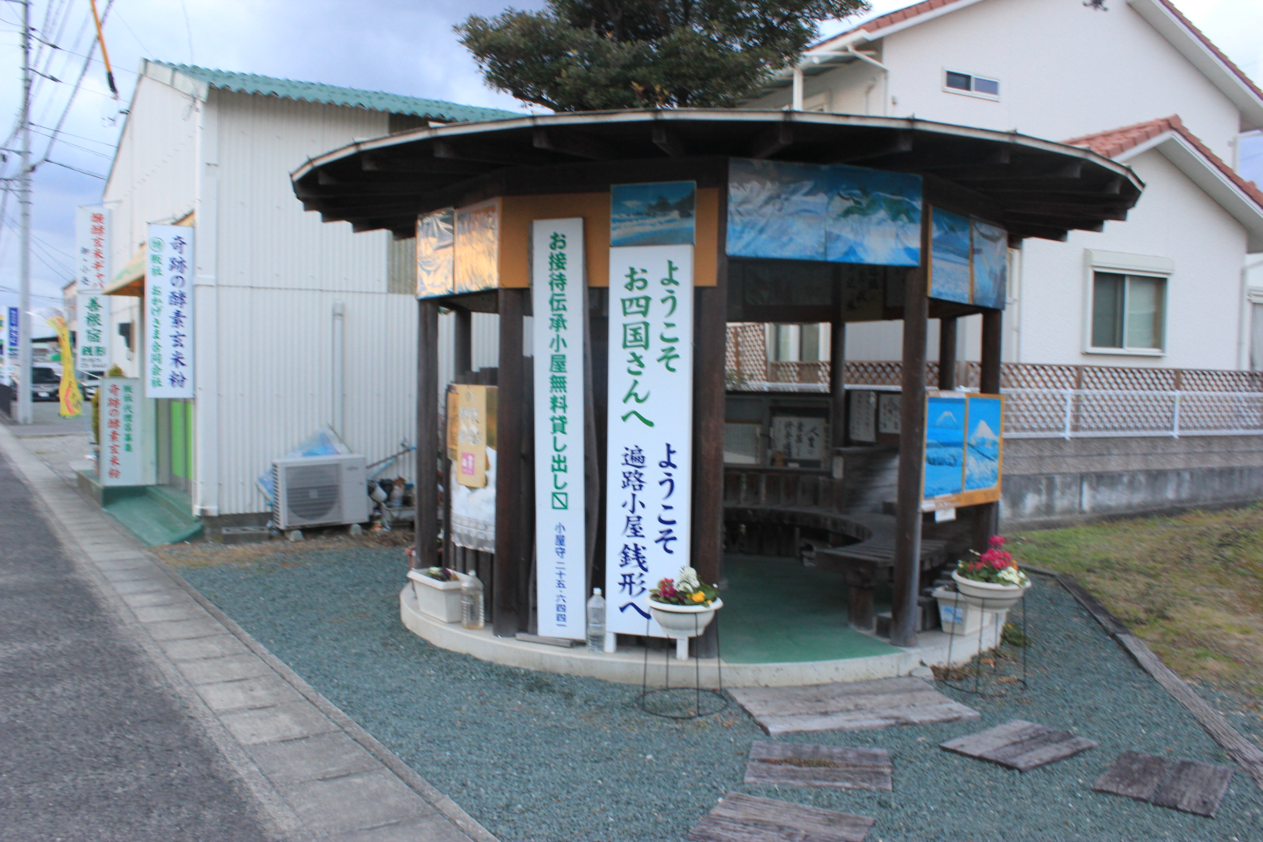
Henro-koya PJ #31 ZenigataThere is drinking water or toilets.detail─
contact─
map─
close
|
|||||
| Kannonji Tourist information office | 970 km |
|
detail | ||
Kannonji Tourist information officenews─
detail─
contact─
map─
close
|
|||||
| Michi-no-eki Kotohiki | 972 km |
|
detail | ||
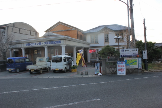
Michi-no-eki KotohikiThis is a roadside station located in Kotohiro Park.news─
detail─
contact─
map─
close
|
| name | distance ? |
type ? |
QR code ? |
remark |
|
| Hut Zaitagaw | 974 km |
|
detail | ||
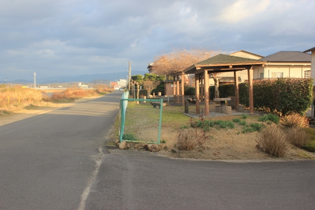
Hut ZaitagawThere is running water. or toilets.detail─
contact─
map─
close
|
| name | distance ? |
type ? |
QR code ? |
remark |
|
| Henro-koya PJ #53 Takase | 982 km |
|
detail | ||
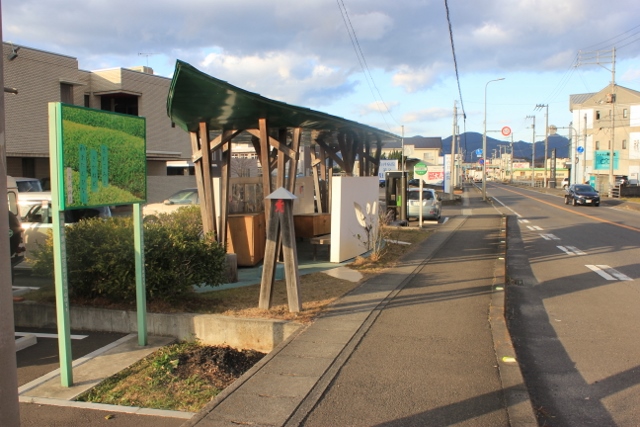
Henro-koya PJ #53 TakaseThere is no running water or toilets.detail─
contact─
map─
close
|
|||||
| Mitoyo Information center | 987 km |
|
detail | ||
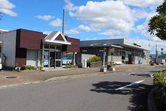
Mitoyo Information centerThis is a tourist information center located at JR Takuma Station.detail─
contact─
map─
close
|
|||||
| Michi-no-eki Fureai park Mino | 987 km |
|
avairable | detail | |
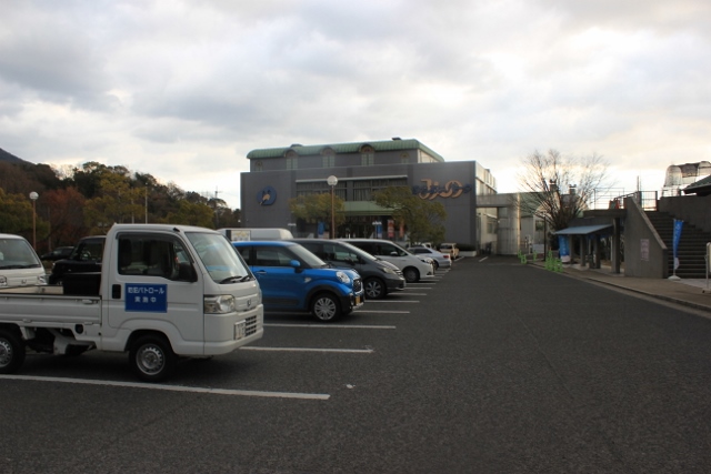
Michi-no-eki Fureai park Mino❖This is a roadside station with a tourist information center attached.❖There is also a super hot spring hotel. news─
detail─
♨
contact─
map─
close
|
|
|
|||||
| name | distance ? |
type ? |
QR code ? |
remark |
|
| Henro-koya PJ #29 Okanoyama | 994 km |
|
detail | ||
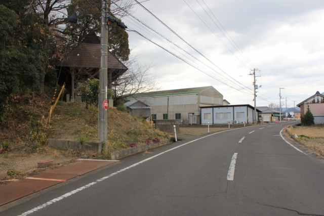
Henro-koya PJ #29 OkanoyamaThere are no toilets, but there is drinking water.detail─
contact─
map─
close
|
|||||
| name | distance ? |
type ? |
QR code ? |
remark |
|
| Rest area Ooike | 991 km |
|
detail | ||
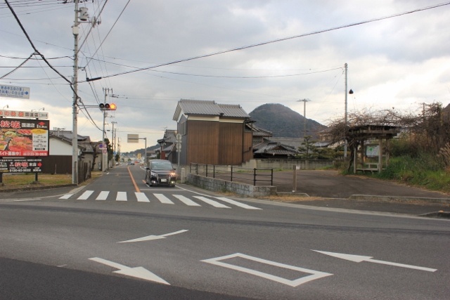
Rest area OoikeThere is no running water. or toilets.detail─
contact─
map─
close
|
| name | distance ? |
type ? |
QR code ? |
remark |
|
| Henro-koya PJ #18 Marugame | 1008 km |
|
detail | ||
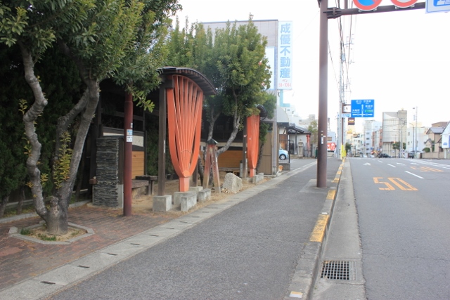
Henro-koya PJ #18 MarugameThere is no running water or toilets.detail─
contact─
map─
close
|
| name | distance ? |
type ? |
QR code ? |
remark |
|
| Henro-koya PJ #42 Hirutaike | 1013 km |
|
detail | ||
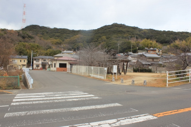
Henro-koya PJ #42 Hirutaike❖There is running water or toilets.❖The hut has no roof. detail─
contact─
map─
close
|
|||||
| Henro-koya PJ #46 Sakaide | 1014 km |
|
detail | ||
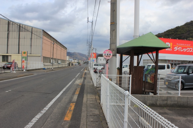
Henro-koya PJ #46 SakaideThere is no running water or toilets.detail─
contact─
map─
close
|
| name | distance ? |
type ? |
QR code ? |
remark |
|
| Hut Shiromine | 1024 km |
|
detail | ||
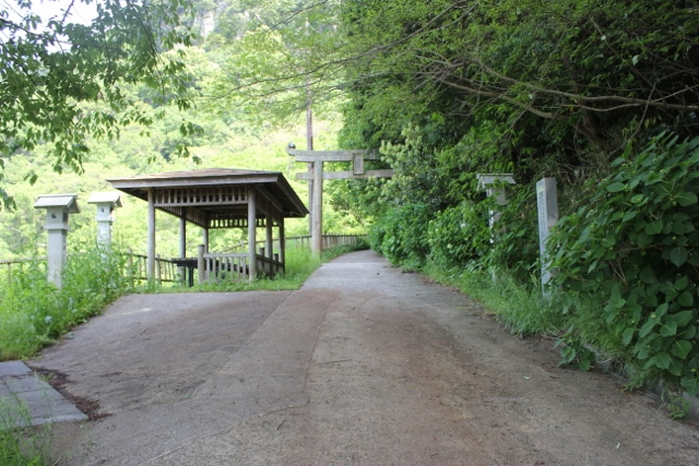
Hut ShiromineThere is no drinking water or toilets.detail─
contact─
map─
close
|
| name | distance ? |
type ? |
QR code ? |
remark |
|
| Hut near Ishizuchi Shrine | 1027 km |
|
detail | ||
Hut near Ishizuchi ShrineThere are toilets and drinking water nearby.detail─
contact─
map─
close
|
| name | distance ? |
type ? |
QR code ? |
remark |
|
| Hut Nakayama | 1035 km |
|
detail | ||
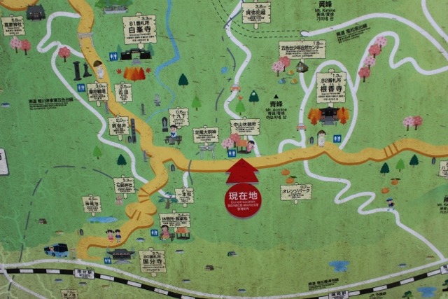
Hut NakayamaThis is a hut near Ashio Daimyojin Shrine.There are toilets and drinking water. detail─
contact─
map─
close
|
|||||
| Henro-koya PJ #51 Goshikidai | 1036 km |
|
avairable | detail | |
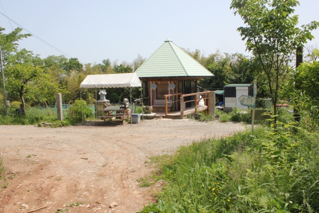
Henro-koya PJ #51 GoshikidaiThere is running water or toilets.detail─
contact─
map─
close
|
| name | distance ? |
type ? |
QR code ? |
remark |
|
| Iida Rest house | 1043 km |
|
detail | ||
Iida Rest house❖It's a great resting place.❖Business hours 8:00-18:00. Closed on Sundays and public holidays. ❖Please note that it may be closed on some days recently. detail─
contact─
map─
close
|
|||||
| Rest house | 1045 km |
|
detail | ||
Rest houseThis is a resting place. Accommodation is not possible.detail─
contact─
map─
close
|
|||||
| Henro\koya PJ #24 Ichinomiya | 1048 km |
|
detail | ||
Henro\koya PJ #24 IchinomiyaThere is no running water or toilets.detail─
contact─
map─
close
|
| name | distance ? |
type ? |
QR code ? |
remark |
|
| Hut Yashima | 1061 km |
|
detail | ||
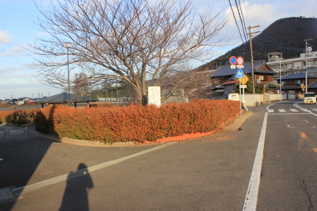
Hut YashimaThere is running water or toilets.detail─
contact─
map─
close
|
| name | distance ? |
type ? |
QR code ? |
remark |
|
| Rest area Yakuri | 1070 km |
|
detail | ||
Rest area YakuriThere is running water or toilets.detail─
contact─
map─
close
|
|||||
| Michi-no-eki Genpei-no-sato Mure | 1072 km |
|
detail | ||
Michi-no-eki Genpei-no-sato MureThis is a roadside station with a tourist information center attached.news─
detail─
contact─
map─
close
|
|||||
| Hut near the library | 1074 km |
|
detail | ||
Hut near the libraryThere is running water or toilets.detail─
contact─
map─
close
|
|||||
| 88 ALBERGUE | 1074.5 km |
|
detail | Closed | |
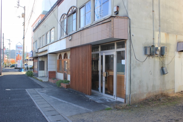
88 ALBERGUEdetail─
contact─
map─
close
|
| name | distance ? |
type ? |
QR code ? |
remark |
|
| Hut Tougndo | 1078 km |
|
detail | ||
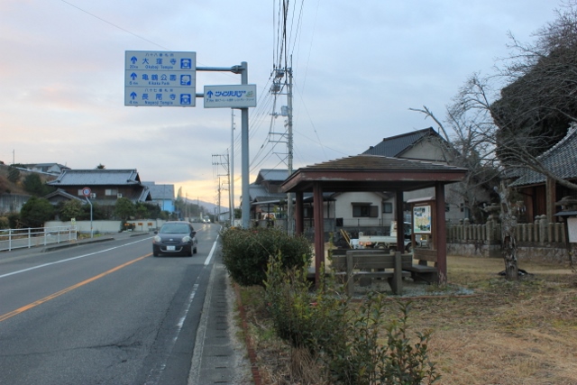
Hut TougndoThere is no running water or toilets.detail─
contact─
map─
close
|
|||||
| Rest area Nagao | 1081 km |
|
detail | ||
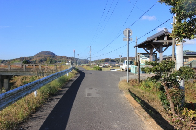
Rest area NagaoThis is a resting place.There are no toilets or drinking water. detail─
contact─
map─
close
|
|
|
|||||
| name | distance ? |
type ? |
QR code ? |
remark |
|
| Rest house Itushinji | 1085 km |
|
detail | ||
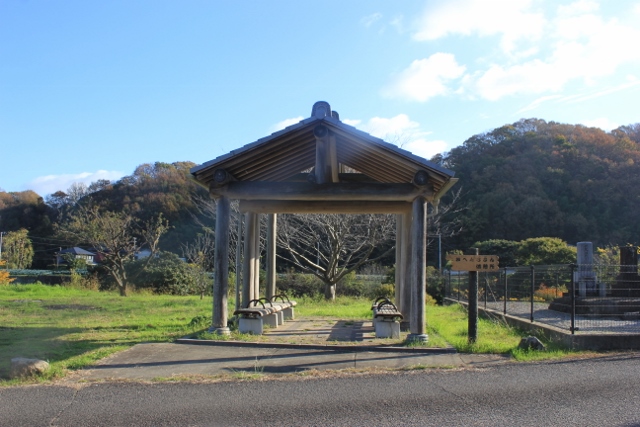
Rest house ItushinjiThis is a resting place.There are no toilets or drinking water. detail─
contact─
map─
close
|
|||||
| Rest house Dum | 1086.5 km |
|
detail | ||
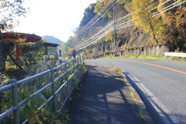
Rest house DumThis is a resting place.There are no toilets or drinking water. detail─
contact─
map─
close
|
|||||
| Maeyama Ohenro Salon | 1087 km |
|
avairable | detail | Certificate & Badge |
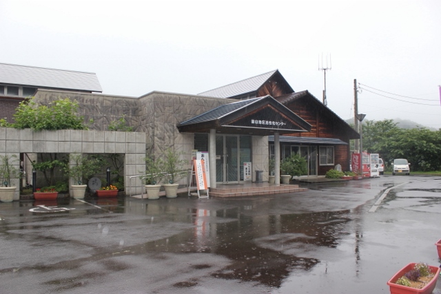
Maeyama Ohenro Salon❖Everyone walking the pilgrimage route should definitely stop by.❖Pilgrims who pray will be awarded a prayer badge and a certificate of completion. ❖Business hours note: 8:00-16:00 news─
detail─
contact─
map─
close
|
|||||
| Michi-no-eki Nagao | 1087.5 km |
|
detail | ||
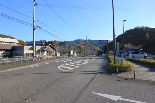
Michi-no-eki NagaoThis is a roadside station with a tourist information center attached.news─
detail─
contact─
map─
close
|
|||||
|
|||||
| name | distance ? |
type ? |
QR code ? |
remark |
|
| Hut Kurusu | 1090 km |
|
detail | ||
Hut Kurusudetail─
contact─
map─
close
|
|||||
| Rest house Nyotaisan | 1091 km |
|
detail | ||
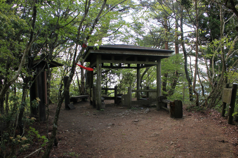
Rest house NyotaisanThere is no running water or toilets.detail─
contact─
map─
close
|
|||||
|
|||||
| name | distance ? |
type ? |
QR code ? |
remark |
|
| Reat house Hanaore | 1090 km |
|
detail | ||
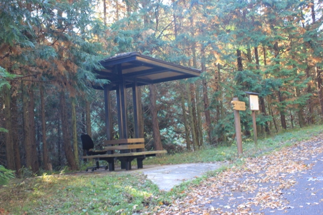
Reat house HanaoreThere are no toilets or drinking water.detail─
contact─
map─
close
|
|||||
|
|||||
| name | distance ? |
type ? |
QR code ? |
remark |
|
| Rest house | 1090 km |
|
detail | ||
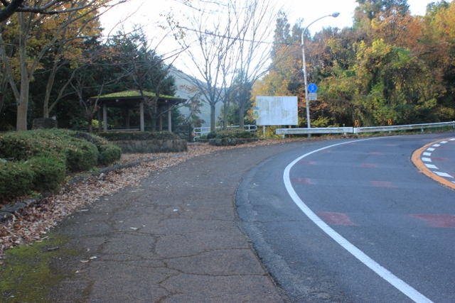
Rest houseThere is no running water or toilets.detail─
contact─
map─
close
|
|||||
| Hut Aigusa | 1091 km |
|
detail | ||
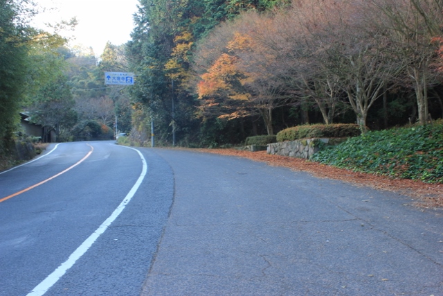
Hut AigusaThere is no running water or toilets.detail─
contact─
map─
close
|
|||||
|
|
|||||
| name | distance ? |
type ? |
QR code ? |
remark |
|
| Hut Tawa | 1094.5 km |
|
detail | ||
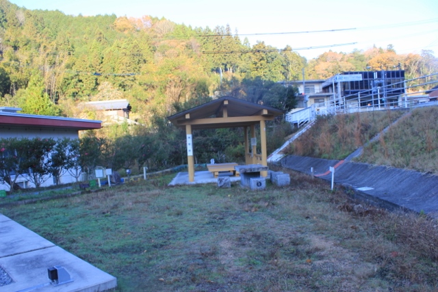
Hut TawaThere are toilets and drinking water nearby.detail─
contact─
map─
close
|
|||||
| Hut Tawa Astronomical observatory | 1095 km |
|
detail | ||
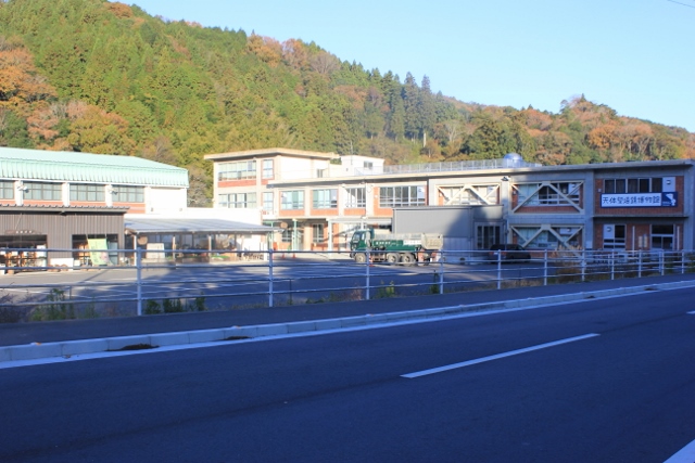
Hut Tawa Astronomical observatoryThere is running water or toilets.detail─
contact─
map─
close
|
|||||
| Hut Takeyashiki | 1097 km |
|
detail | ||
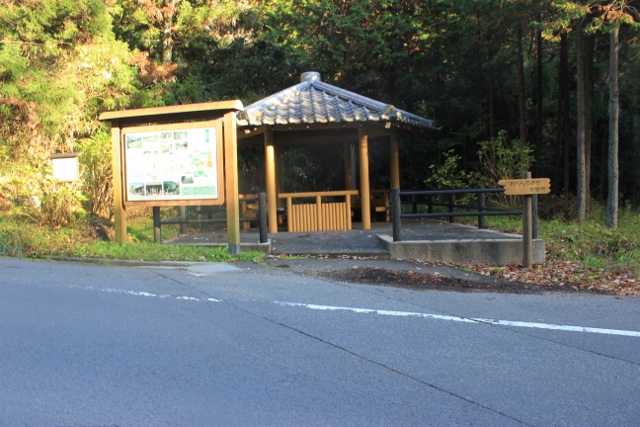
Hut TakeyashikiThere is no running water or toilets.detail─
contact─
map─
close
|
|||||
| name | distance ? |
type ? |
QR code ? |
remark |
|
| There are 2 routes to No. 1 Ryozenji Temple. | 1095 km |
|
detail | ||
最新 リング.jpg)
There are 2 routes to No. 1 Ryozenji Temple.There are 2 route to No1 Ryozenji temple.detail─
contact─
map─
close
|
*The total distance is the converted distance on the shortest route from the first temple, Ryozenji.
Hut Type Classification
| tourist information office | |
| rest shop | |
| settai spot | |
| rest area | |
| camp site | |
| hut/with water and wc | |
| hut/without water or wc | |
| route guide | |
| caution |
QR code availability for travel guide


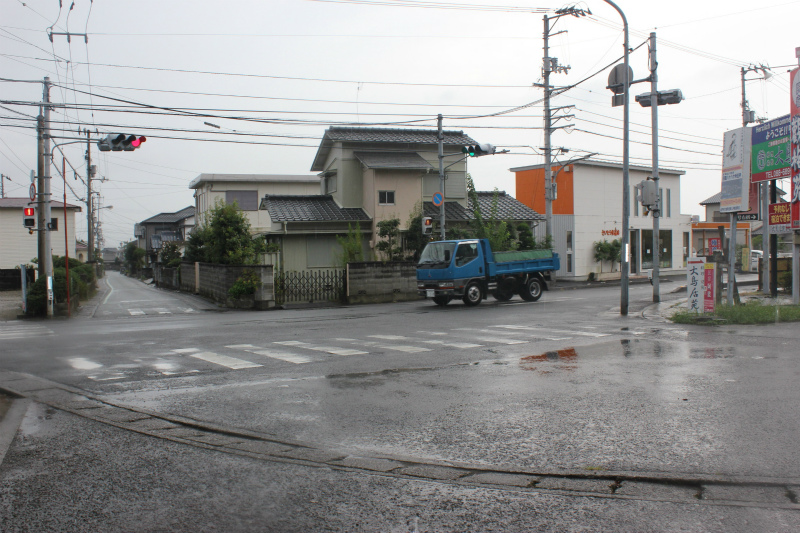
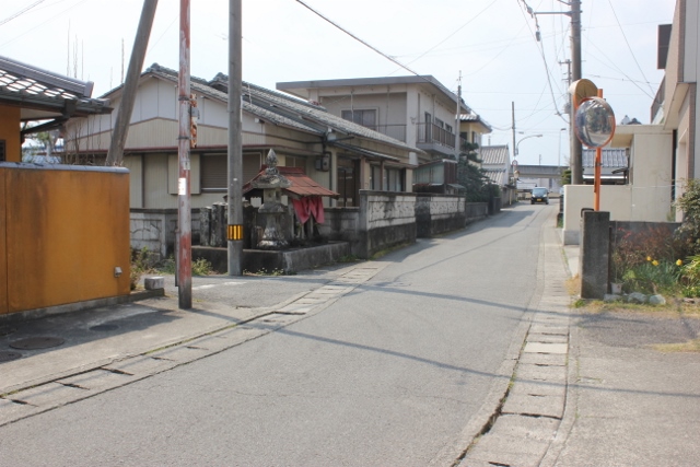
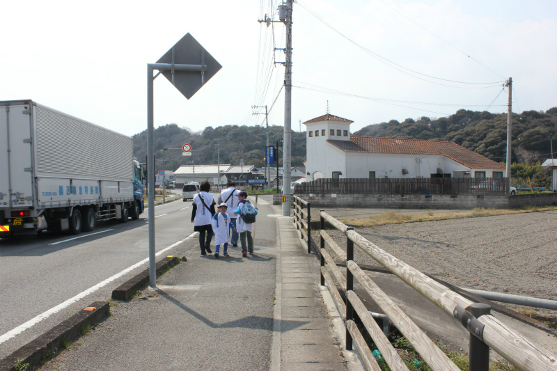


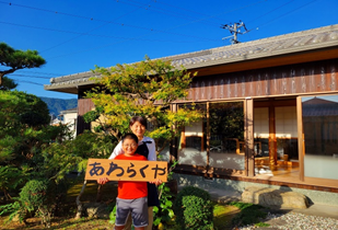
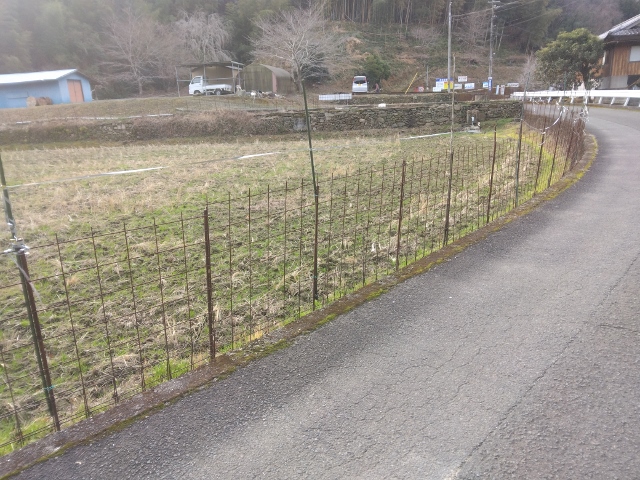
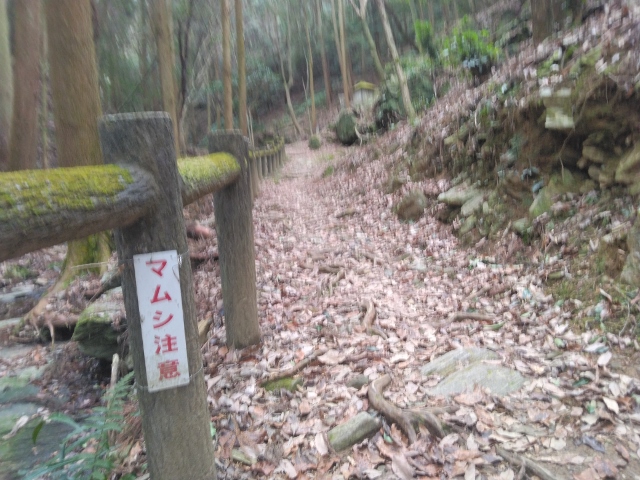
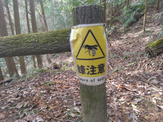
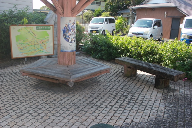
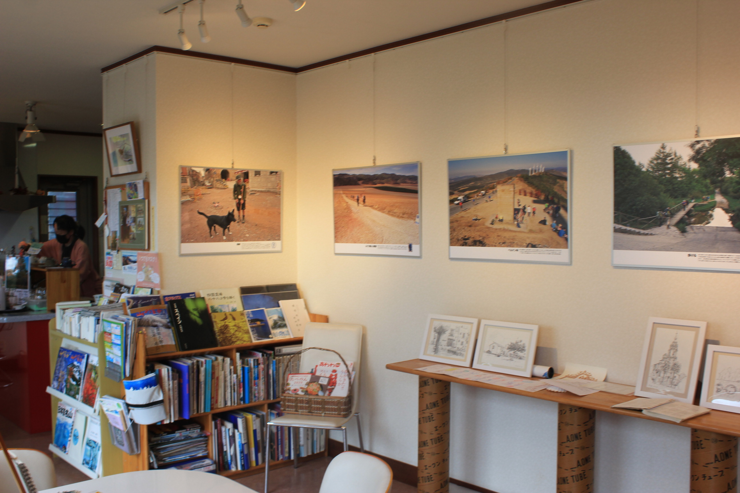
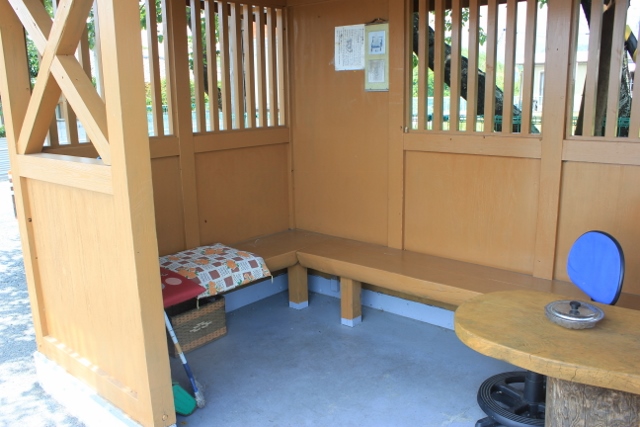
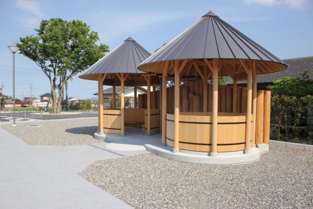
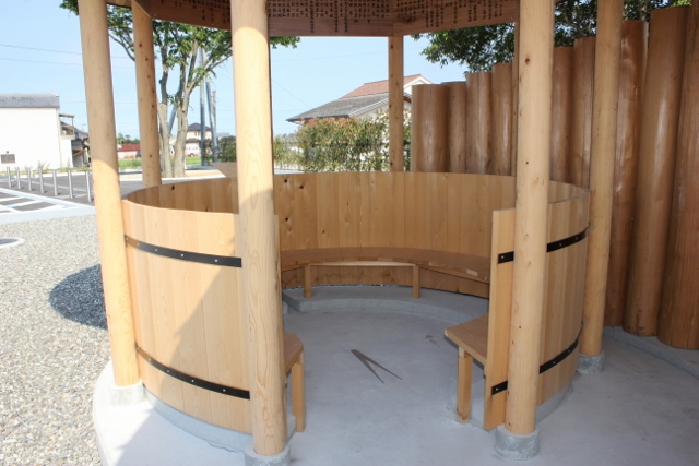
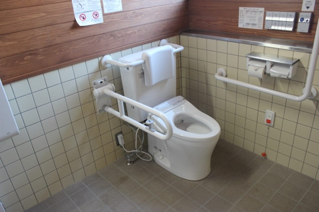


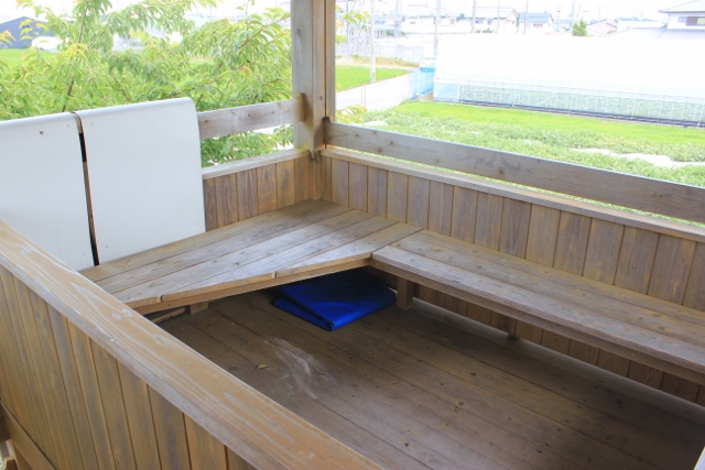
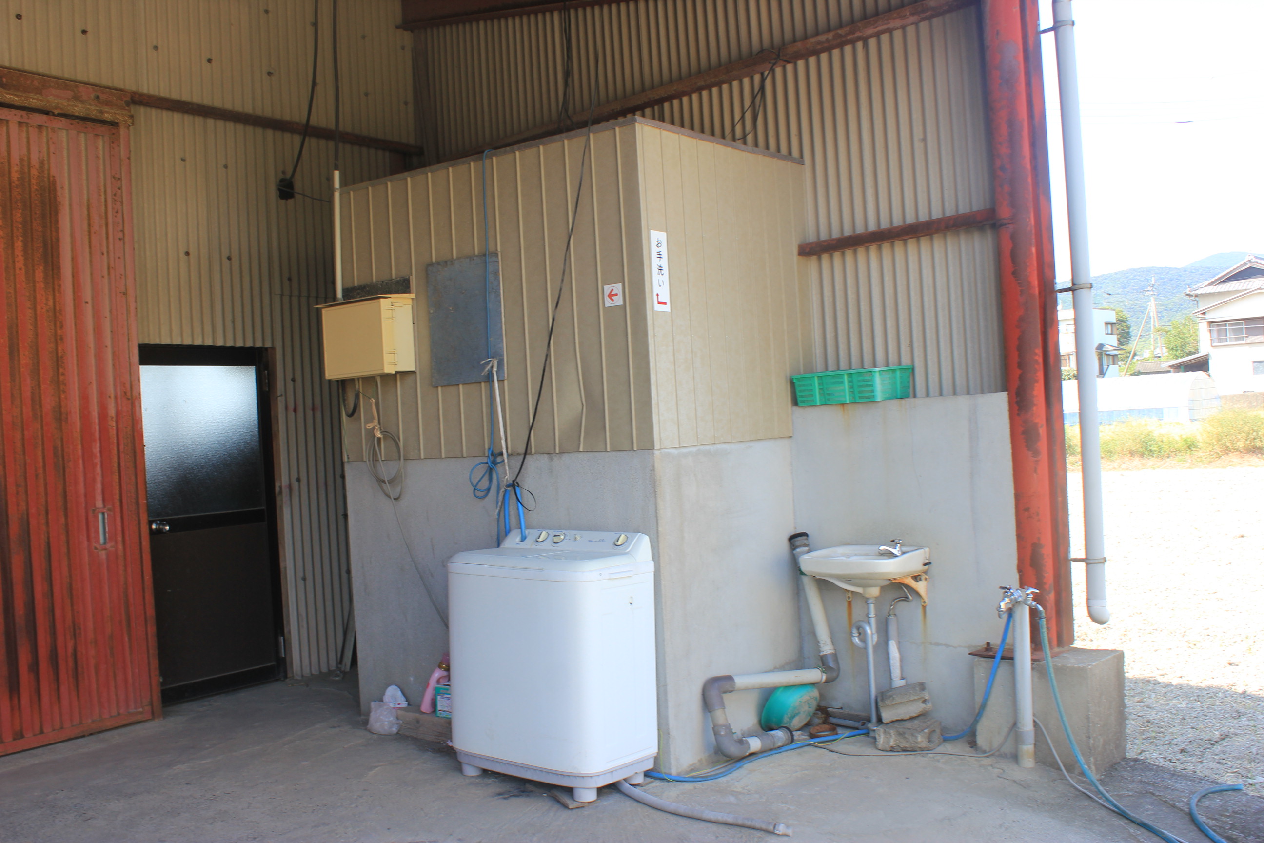
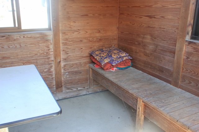
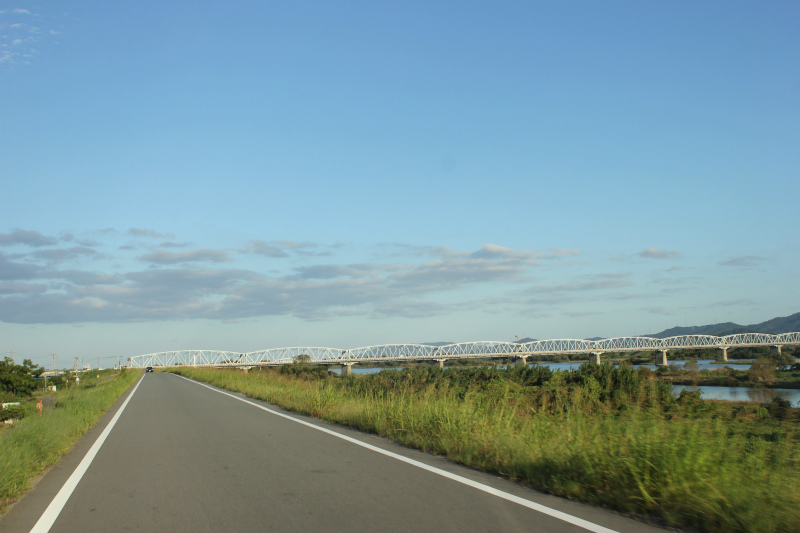
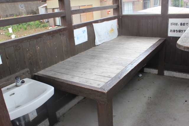

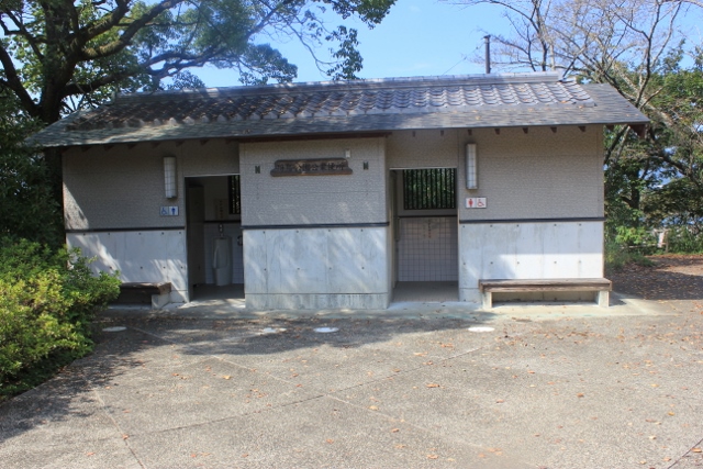
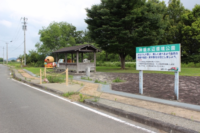
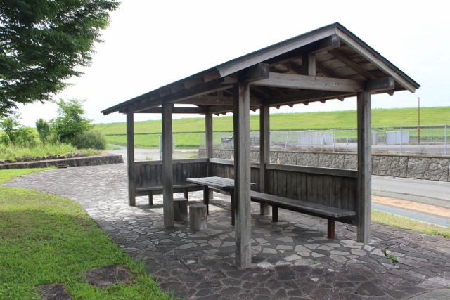
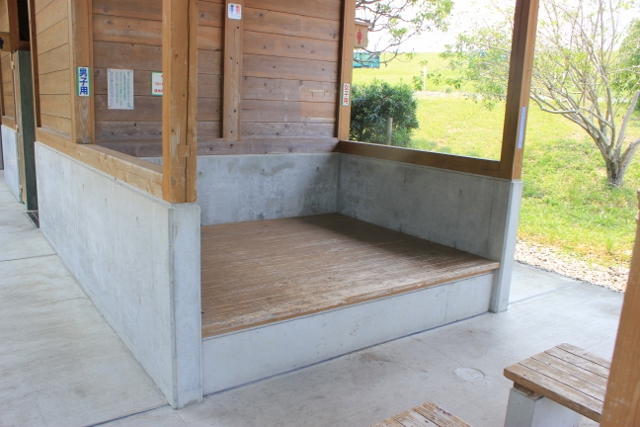
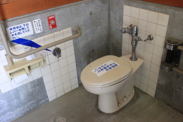
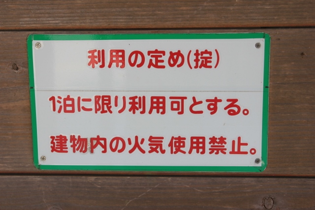
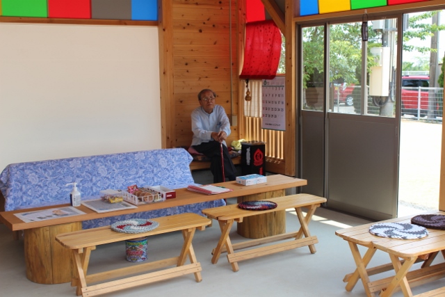
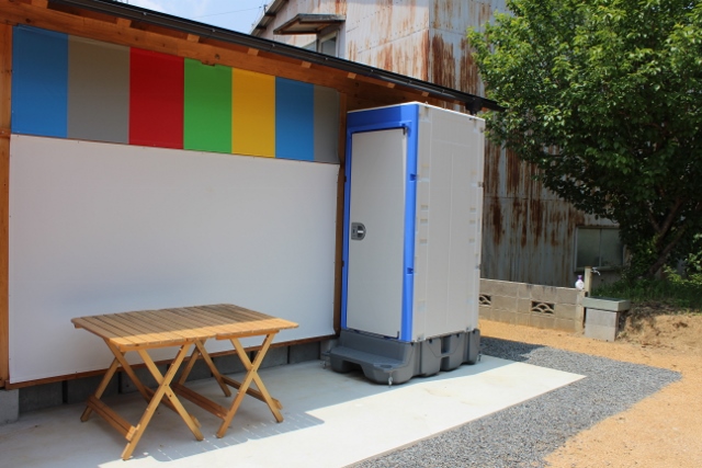
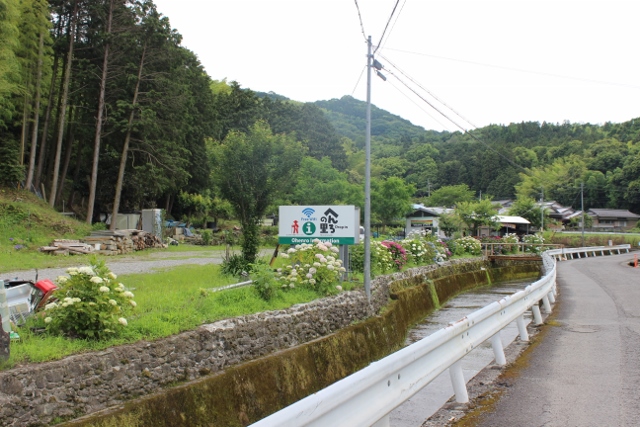
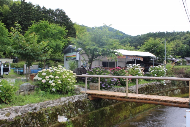
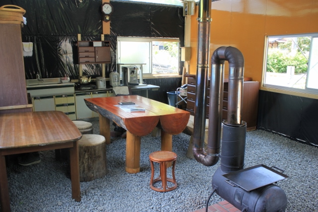
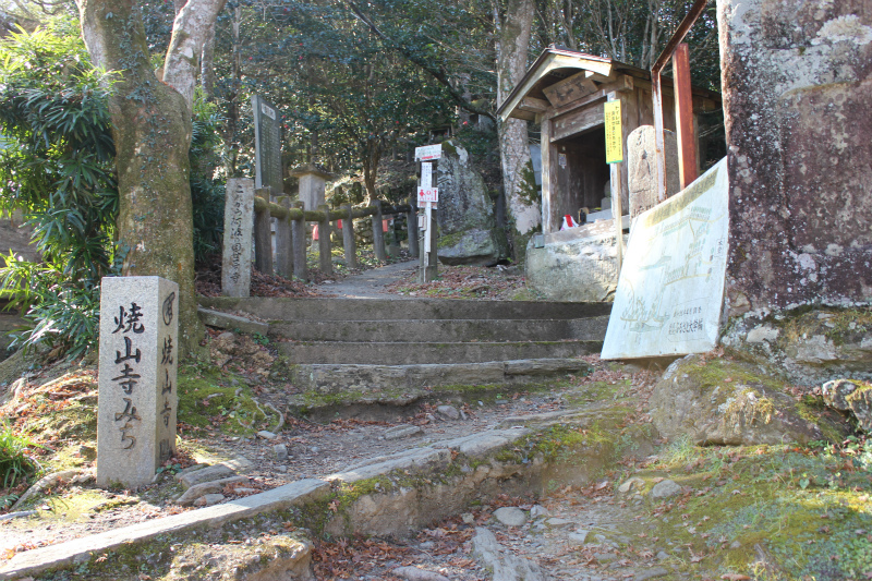
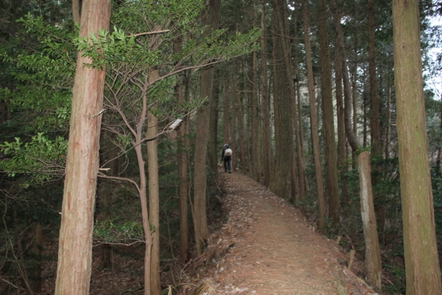
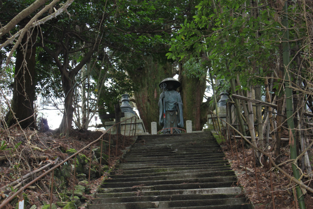
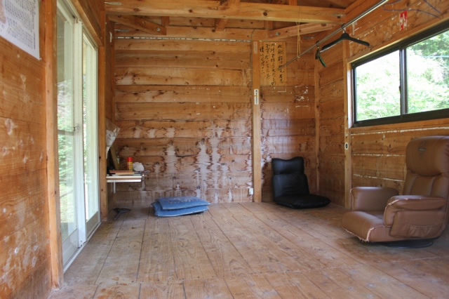


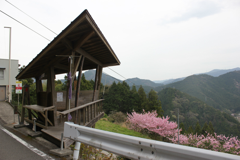
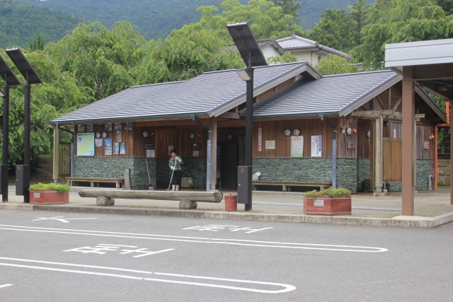
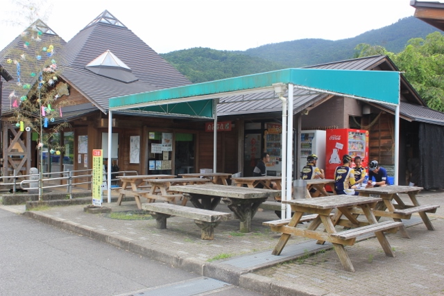
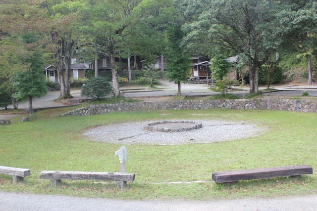
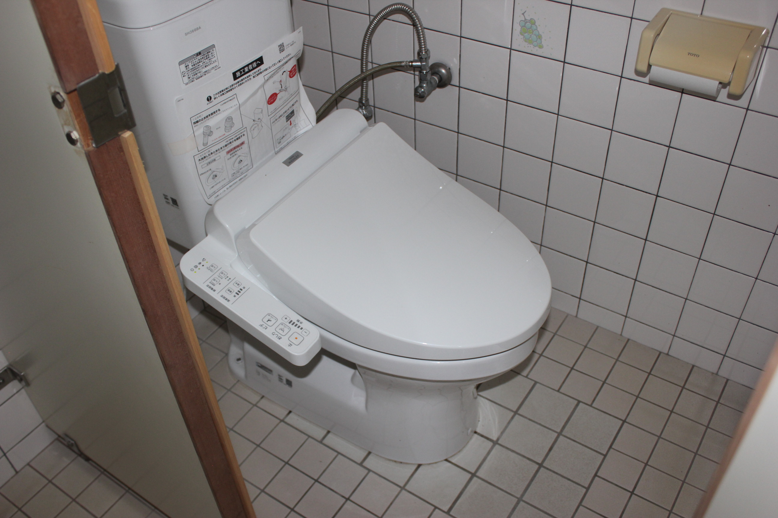
.jpg)
.jpg)
.jpg)
.jpg)
.jpg)
.jpg)
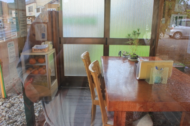
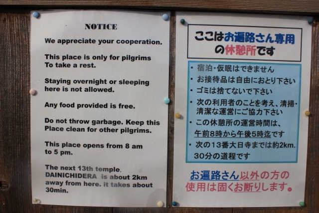
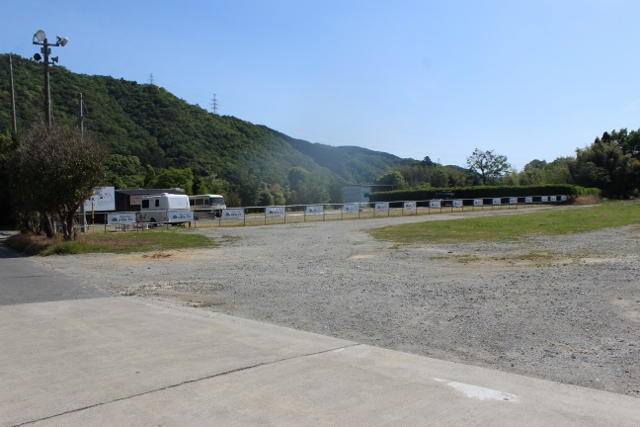
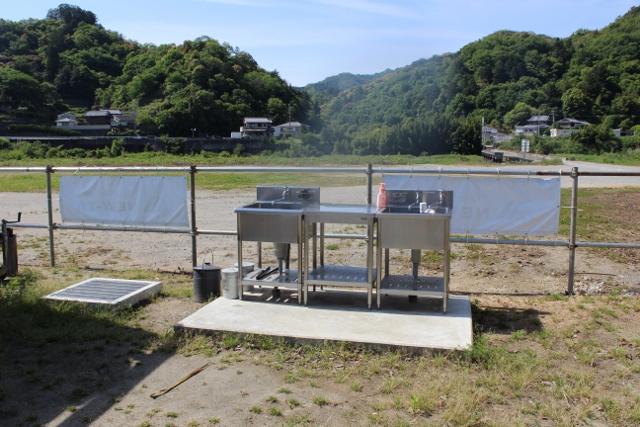
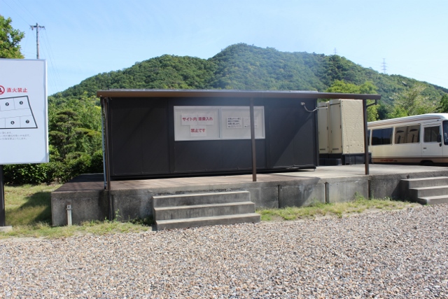
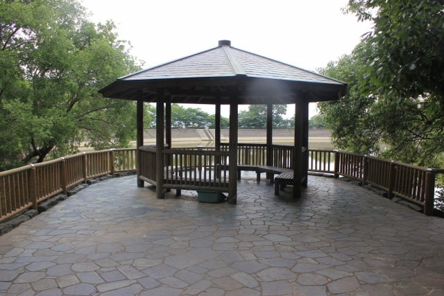
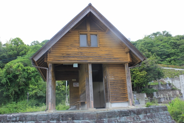
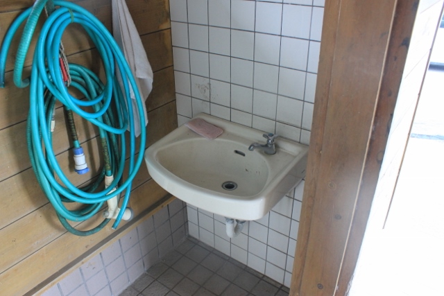
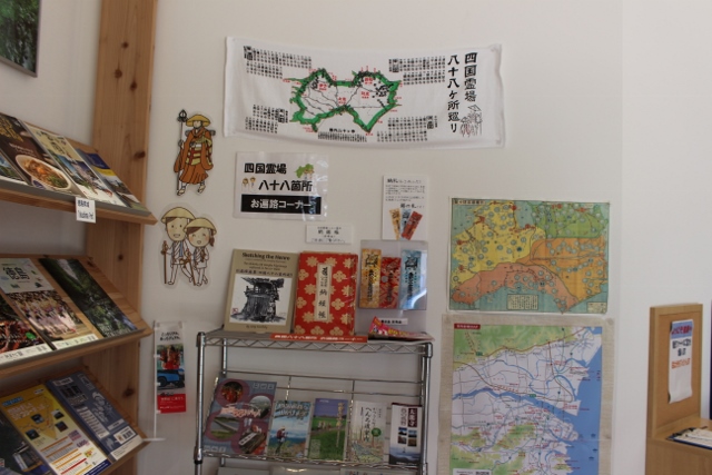
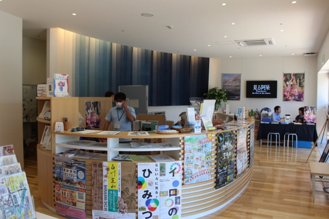
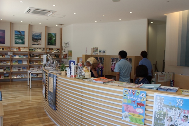


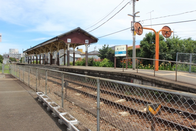
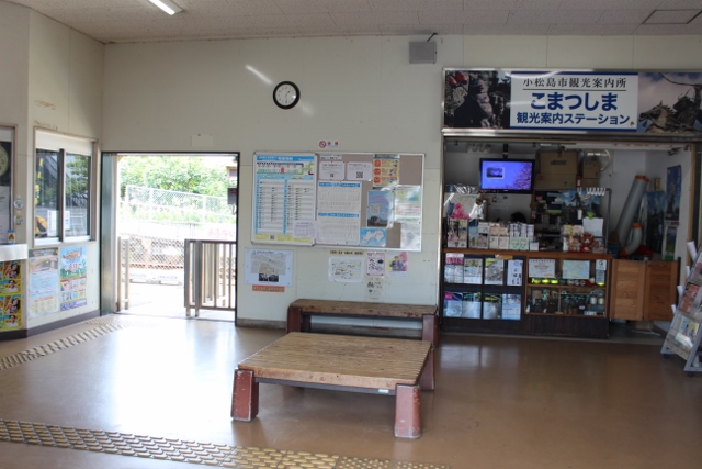

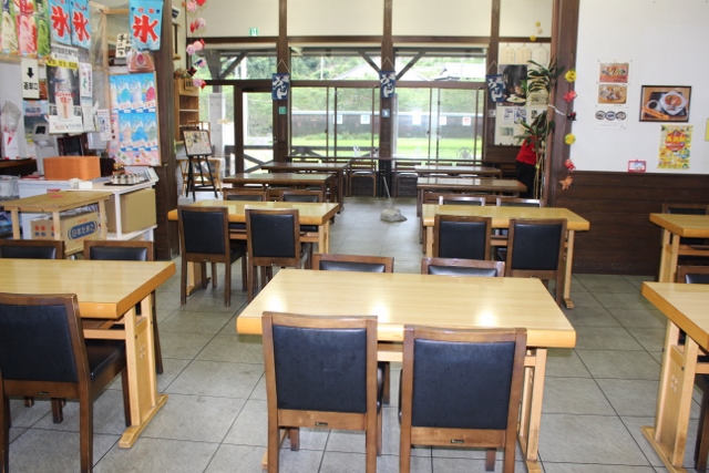
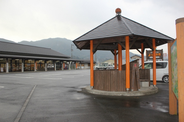
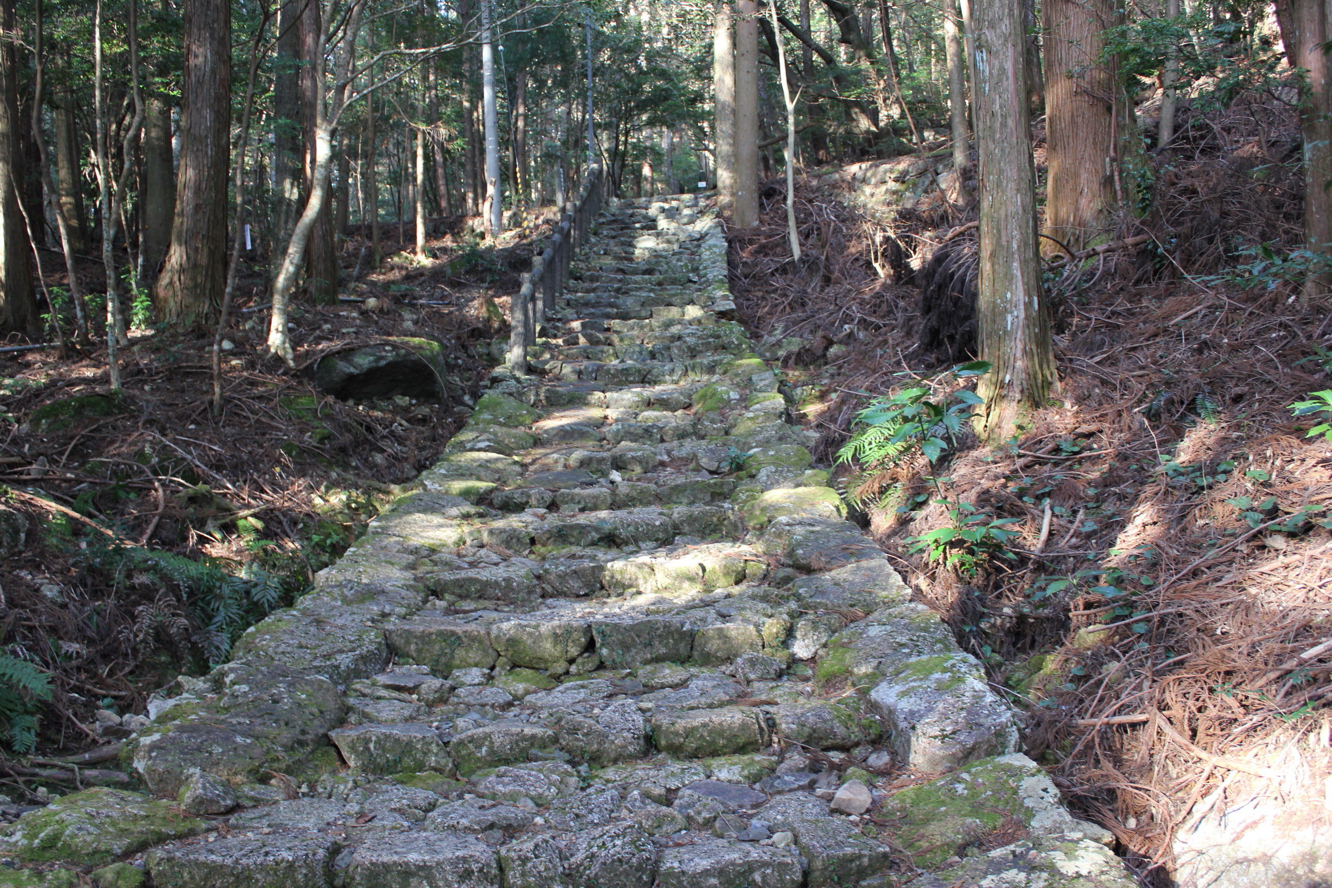
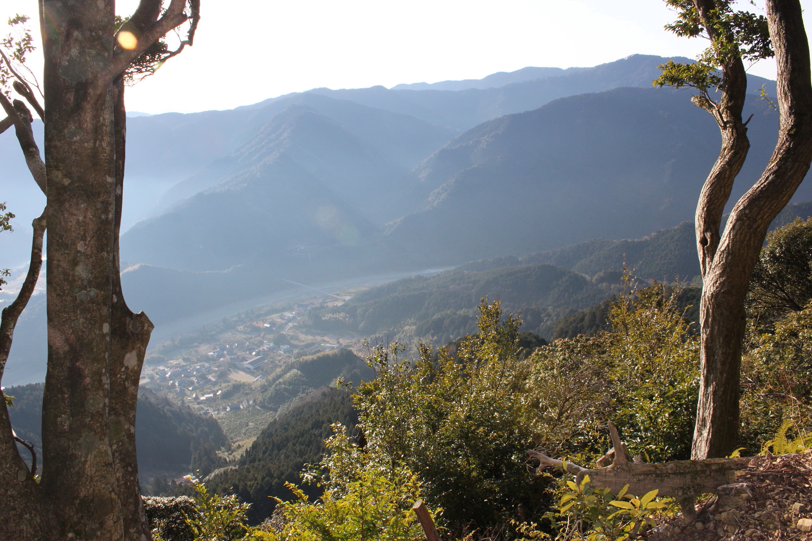
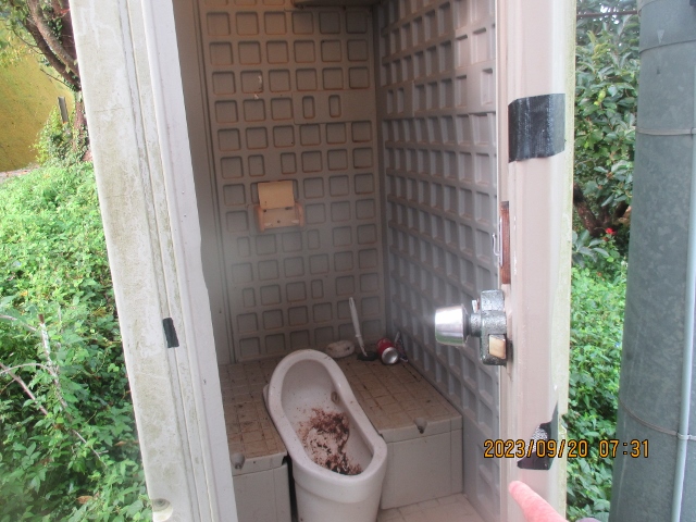


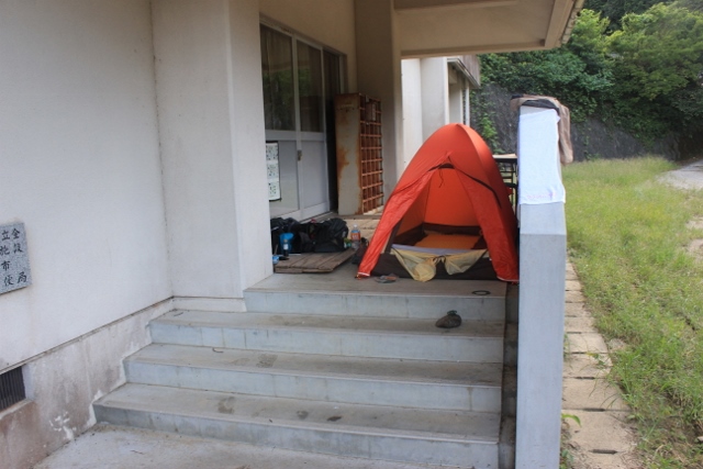
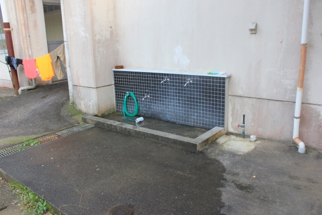
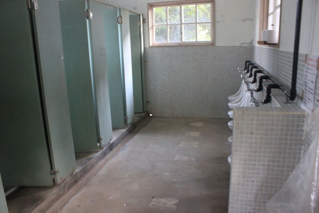
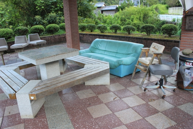
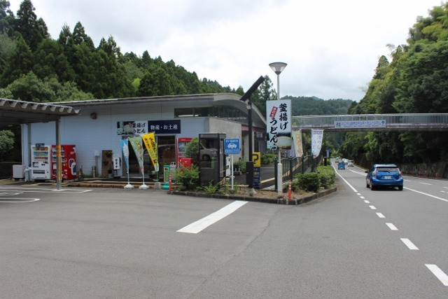
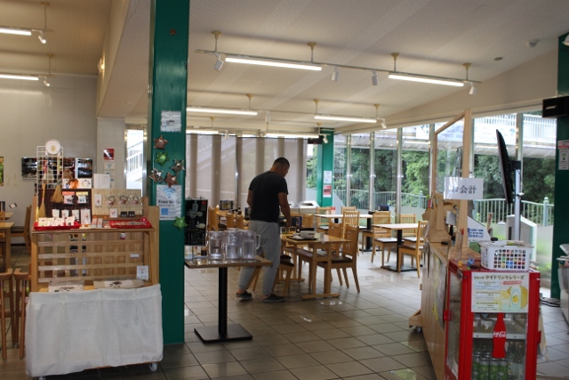
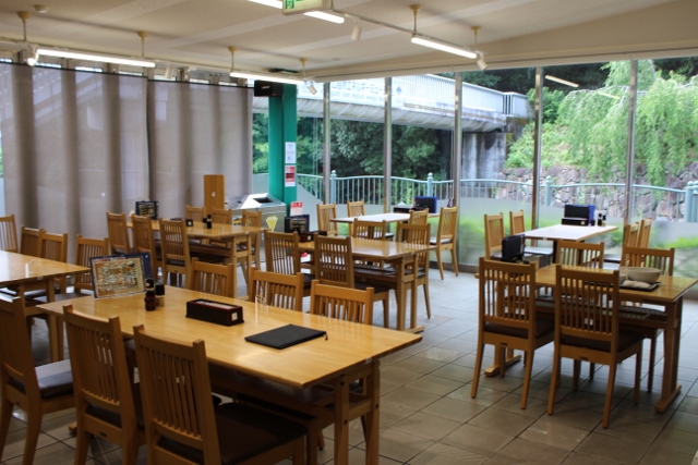
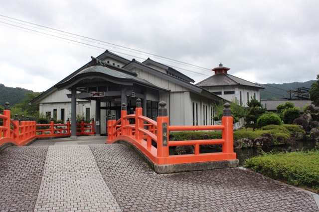
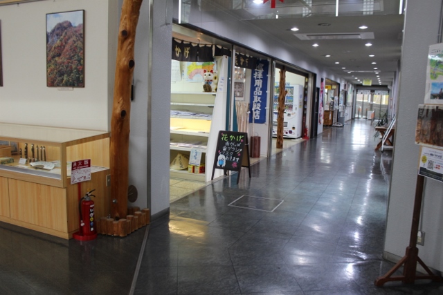
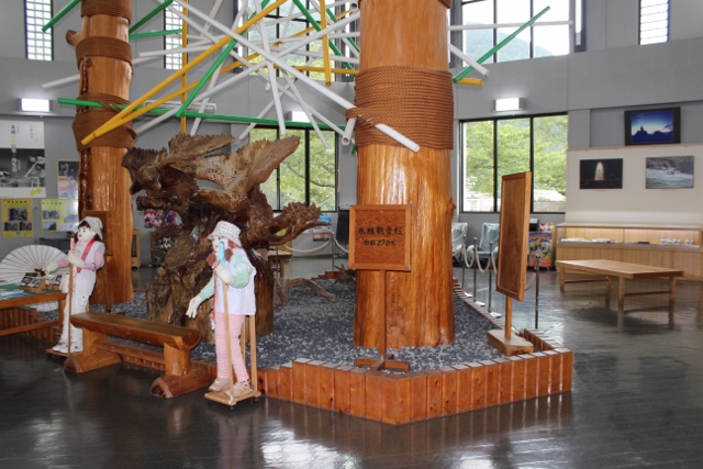
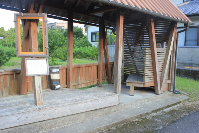
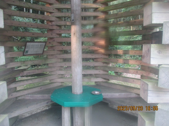
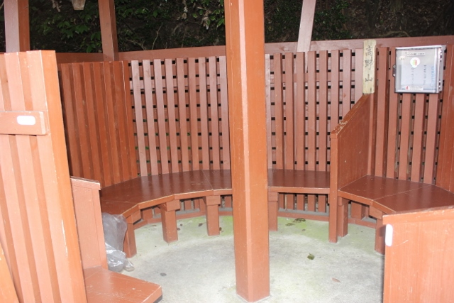
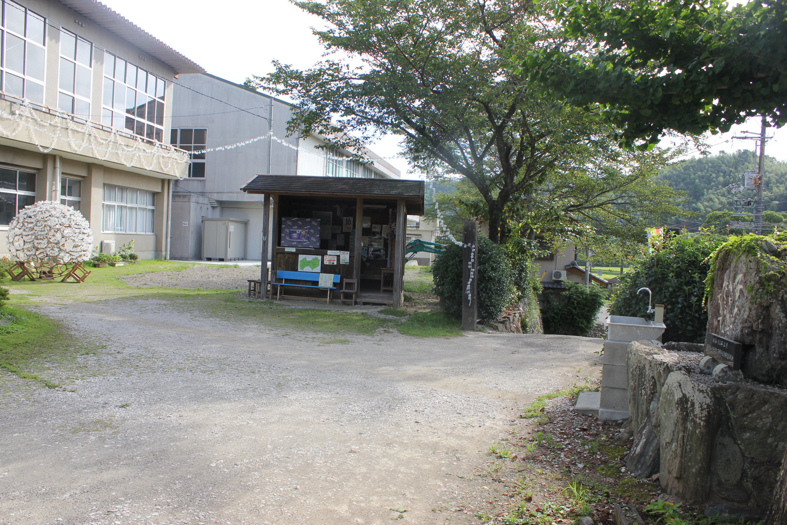
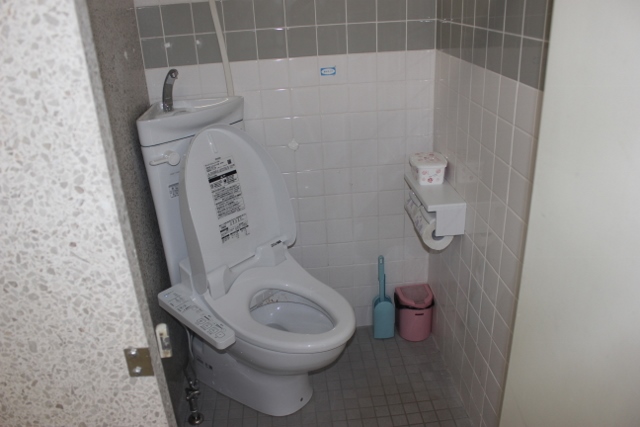
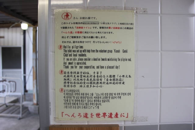


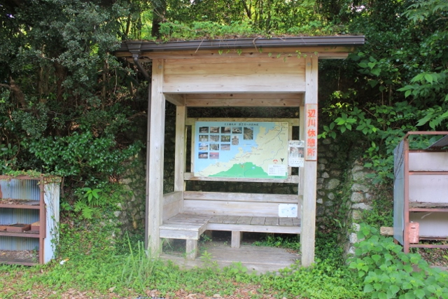
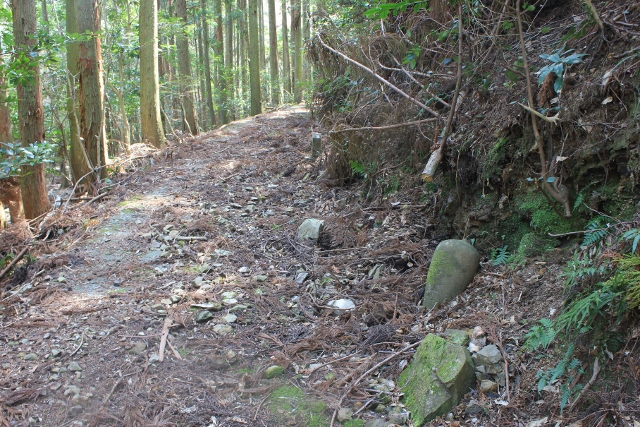
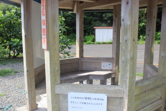
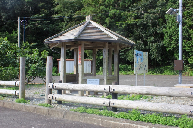
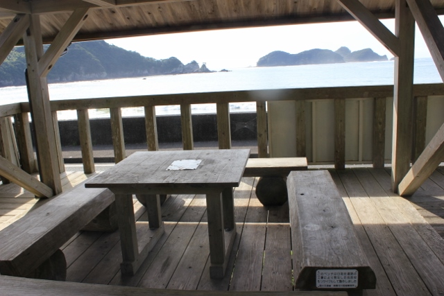
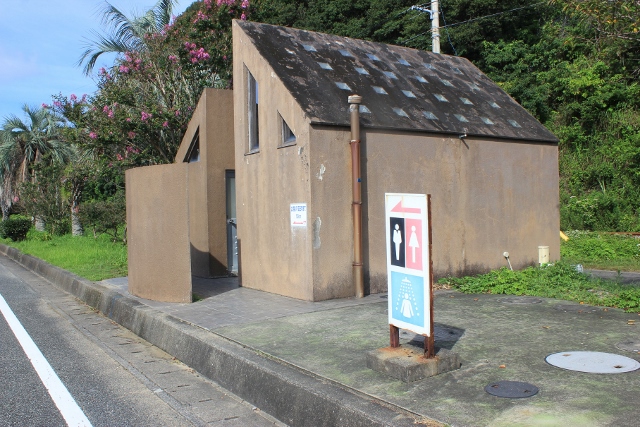
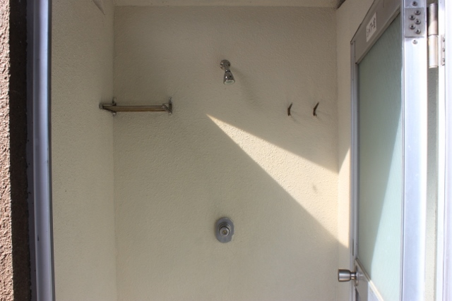
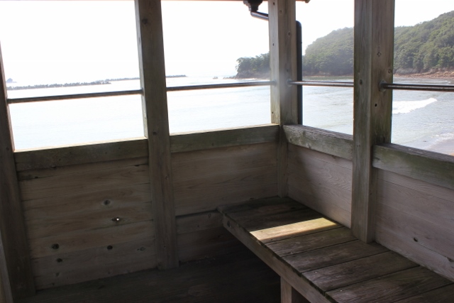
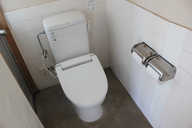
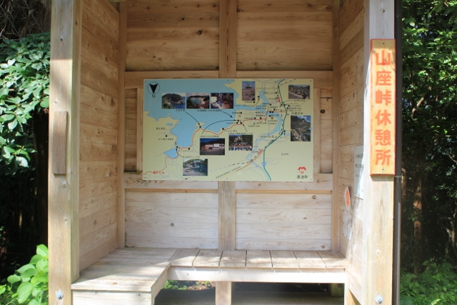

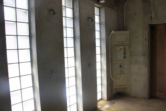
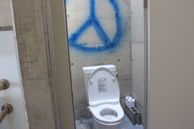
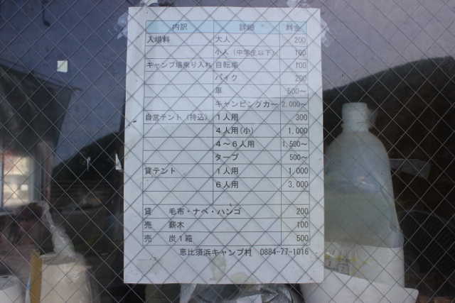
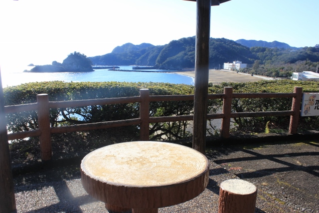
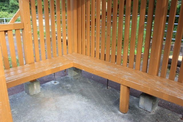
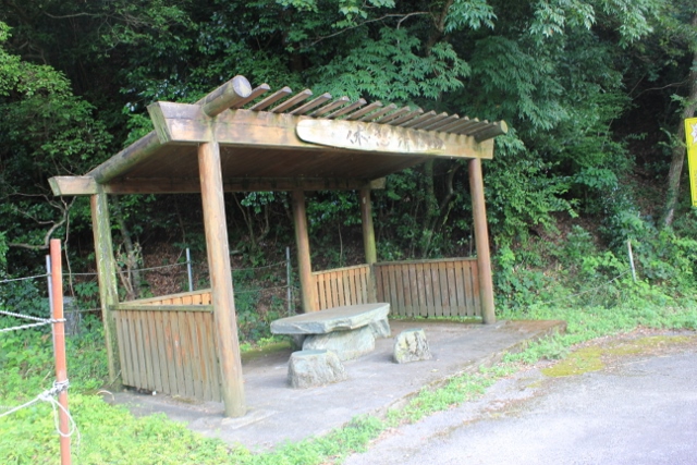

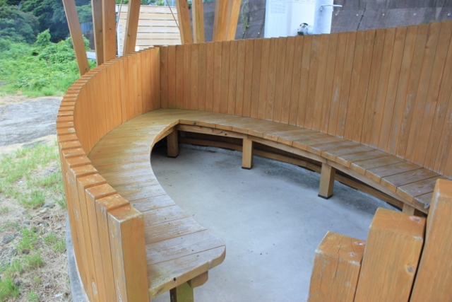
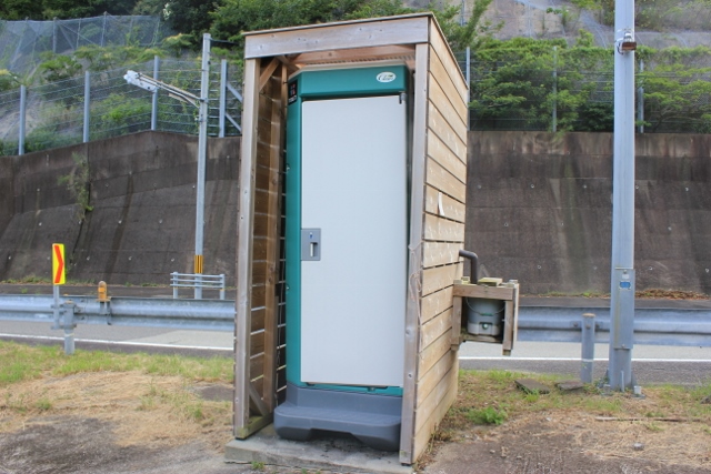
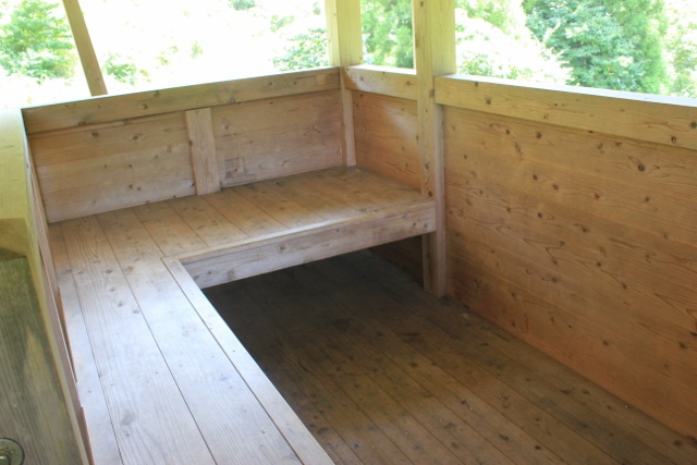
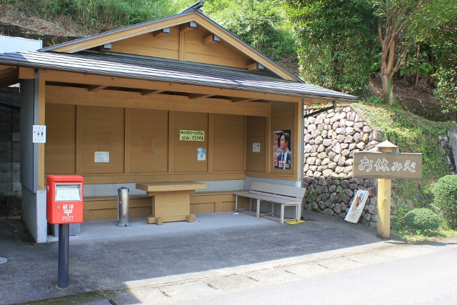
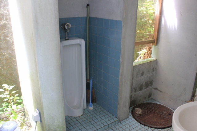
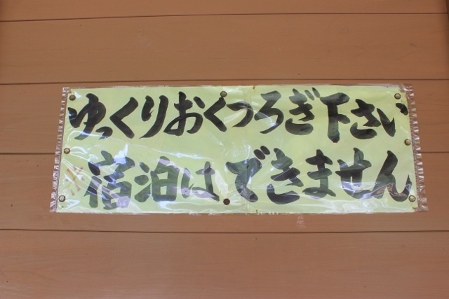
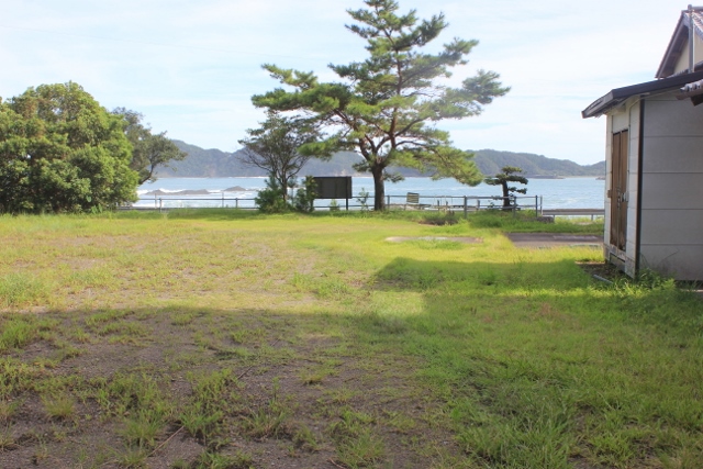
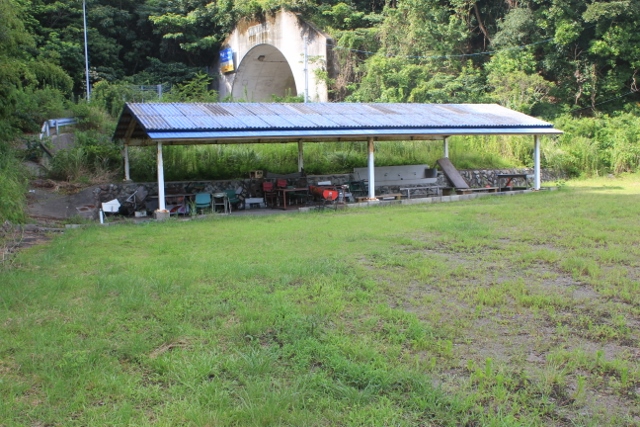
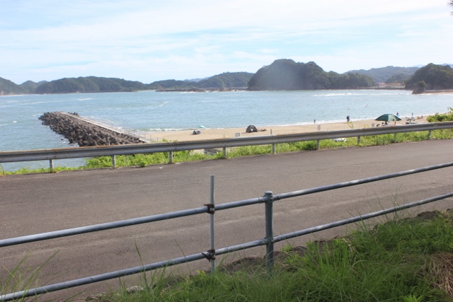
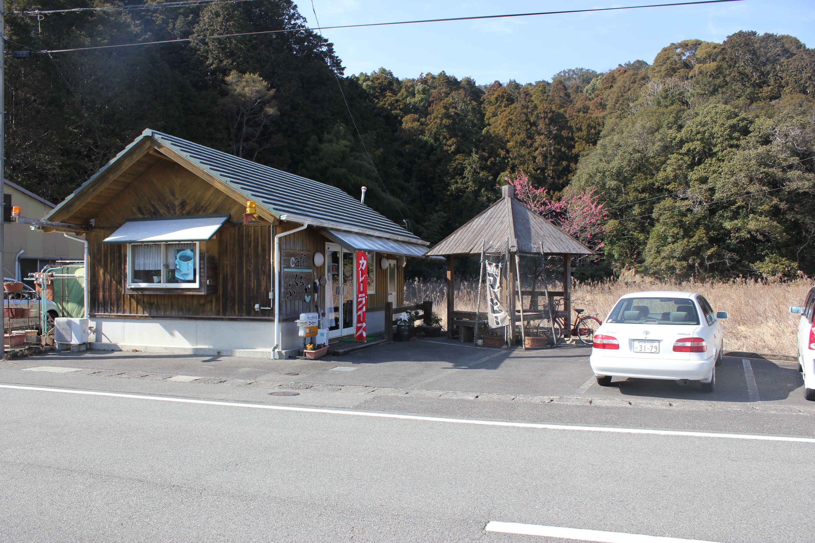
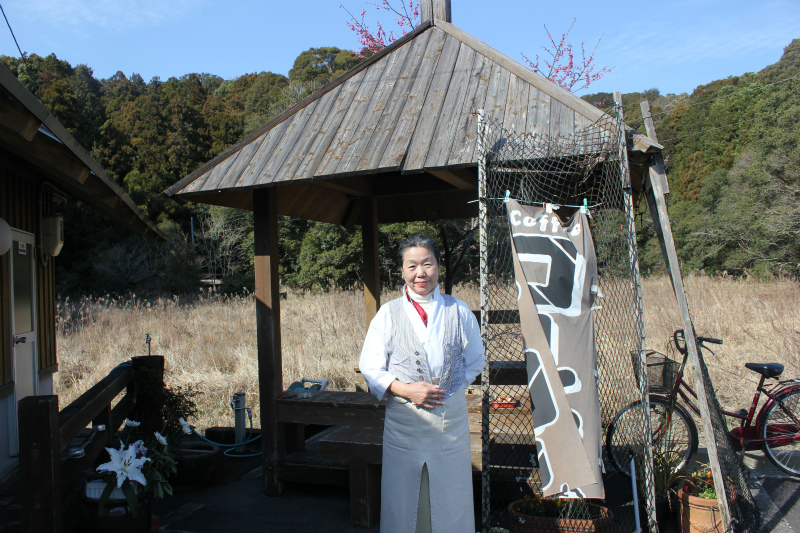
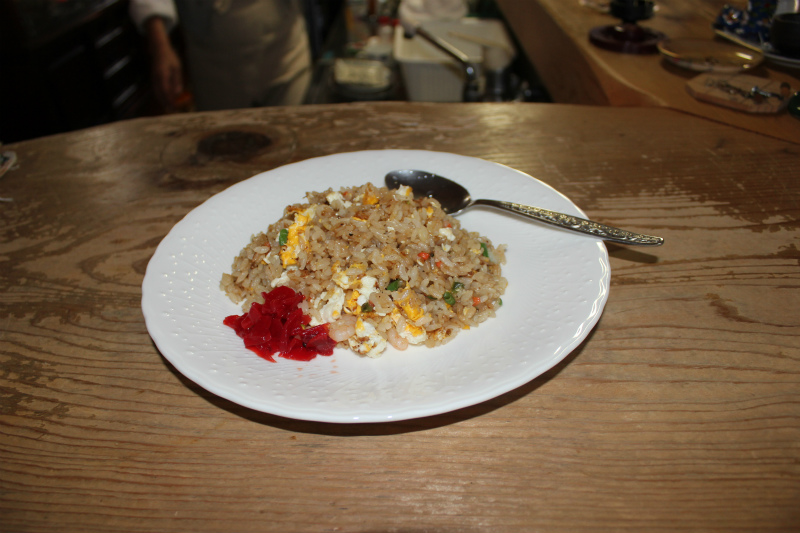
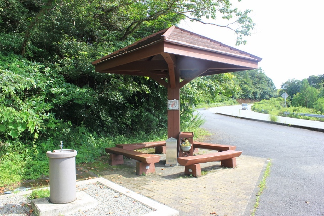
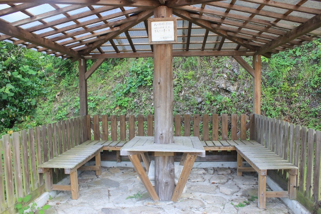

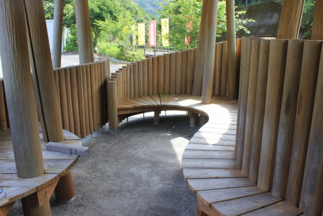
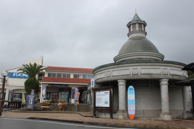
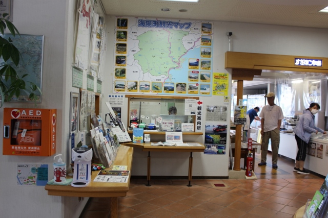
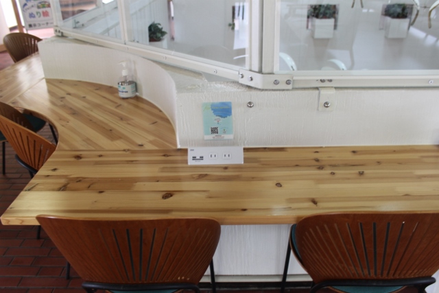
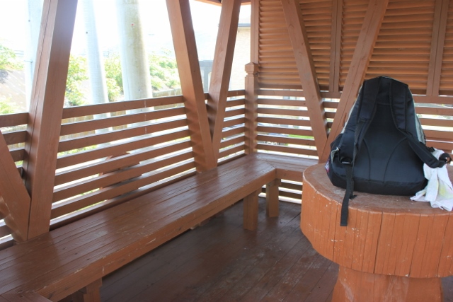
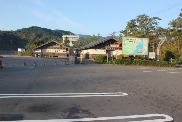

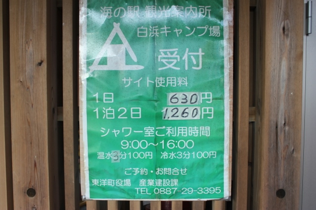
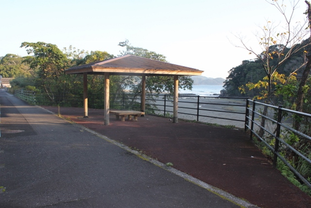
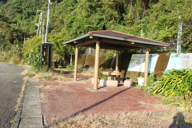
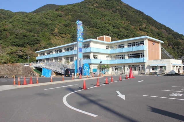
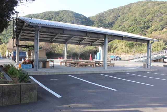
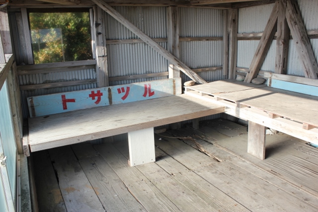
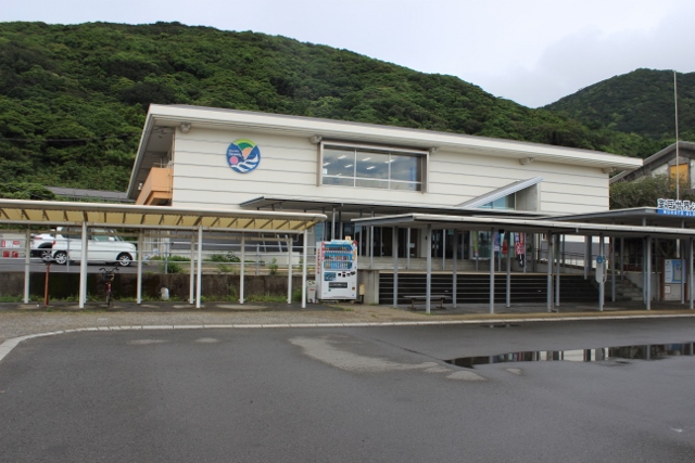
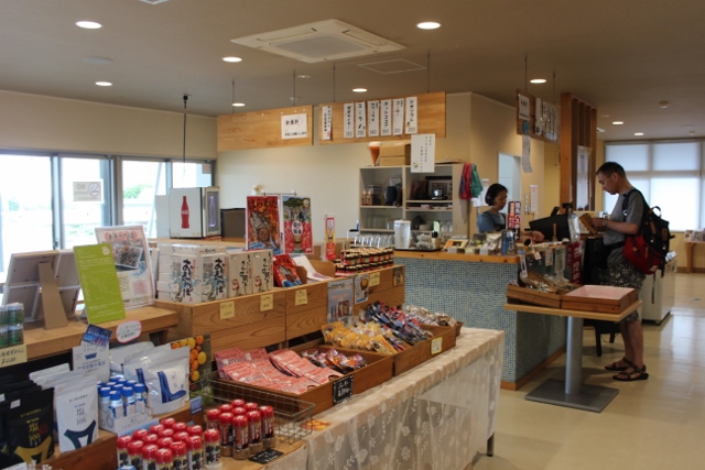
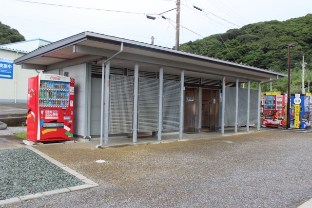
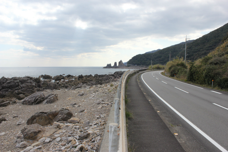
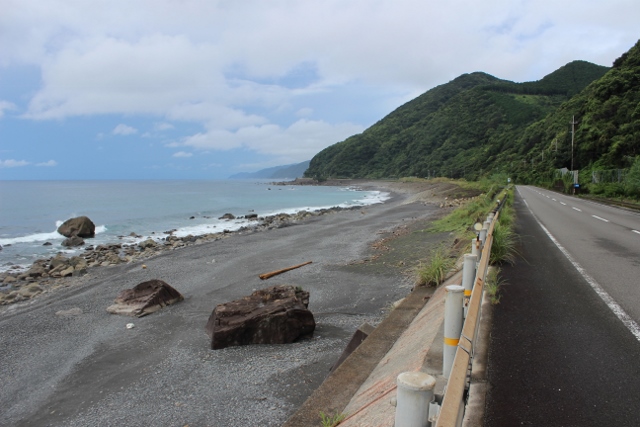

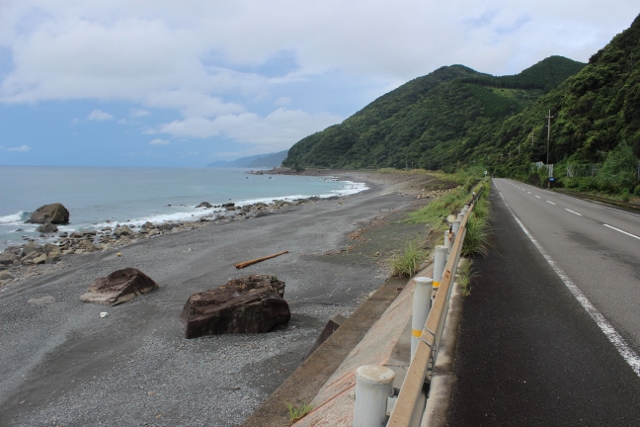


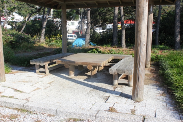
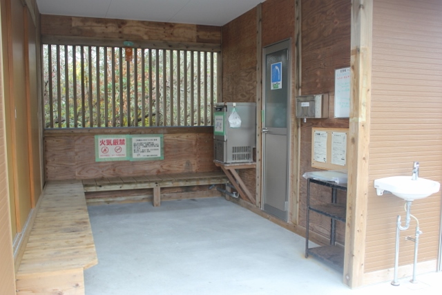
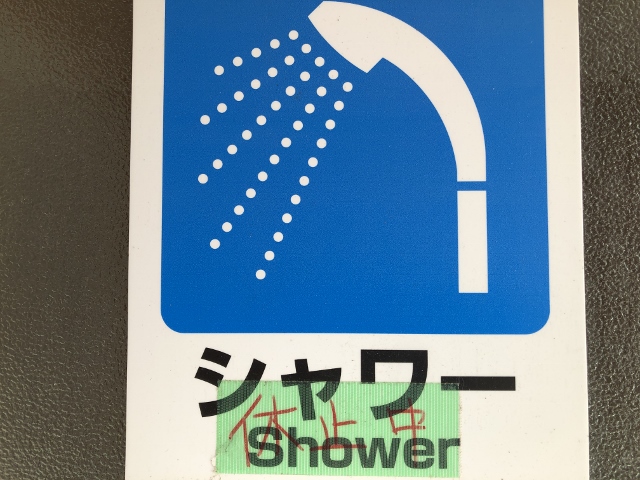

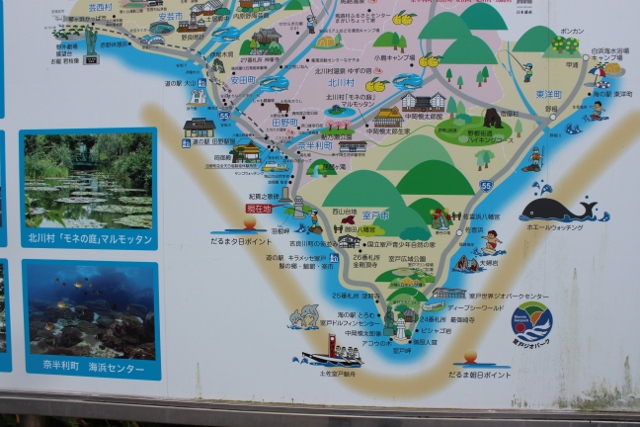
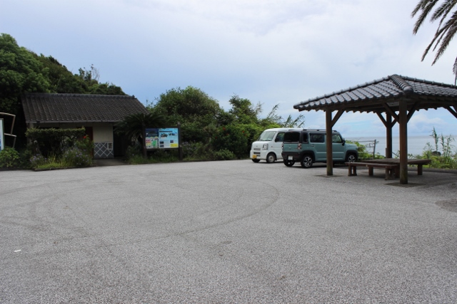


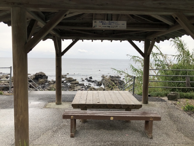
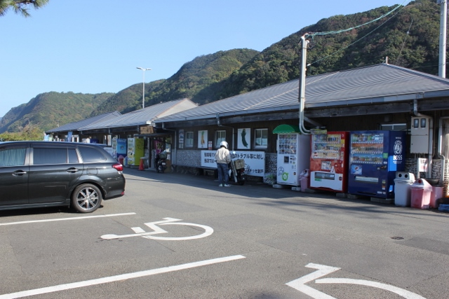
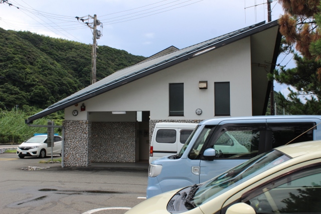
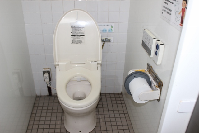
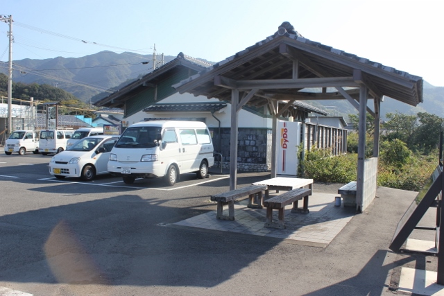
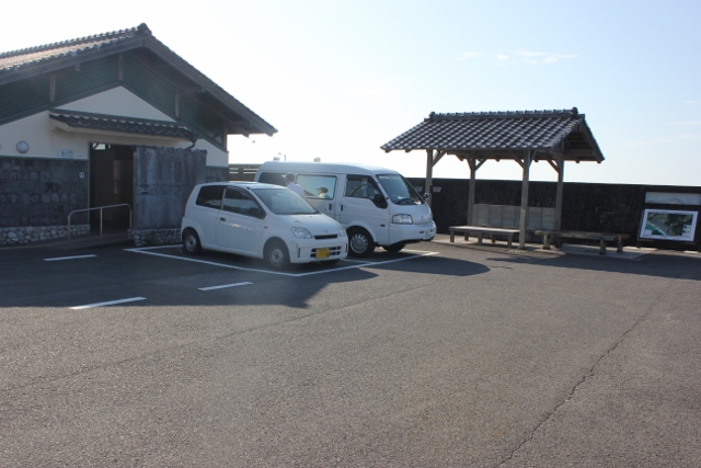
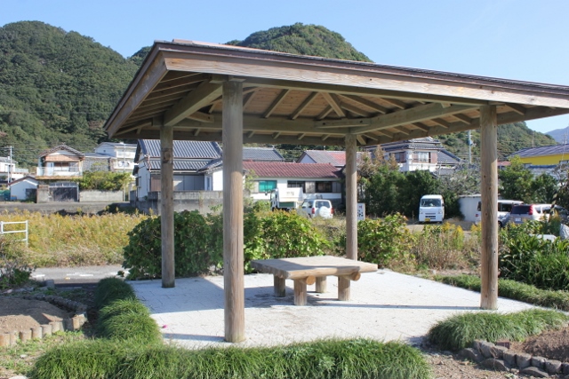
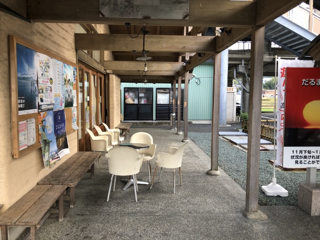
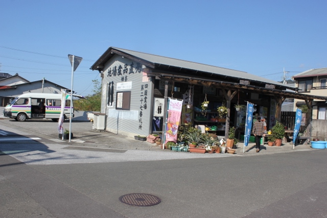
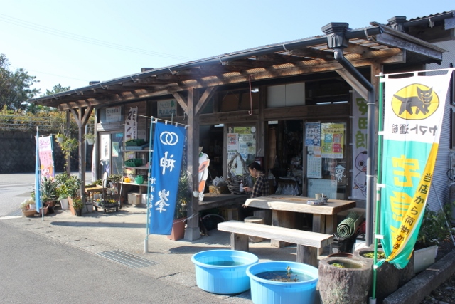
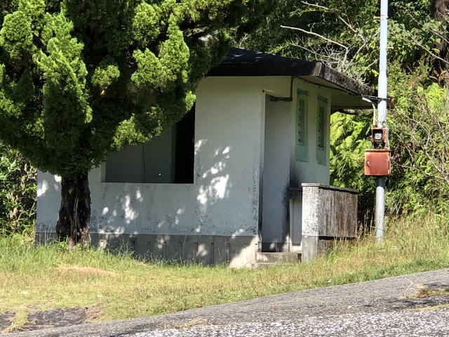
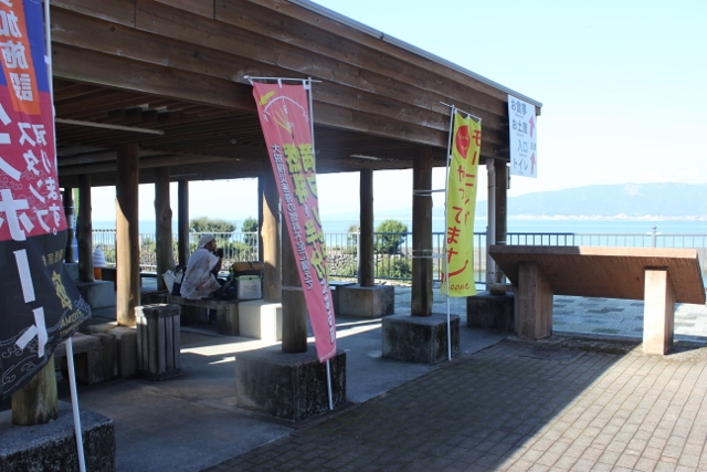
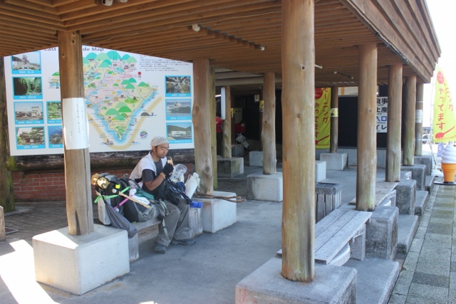
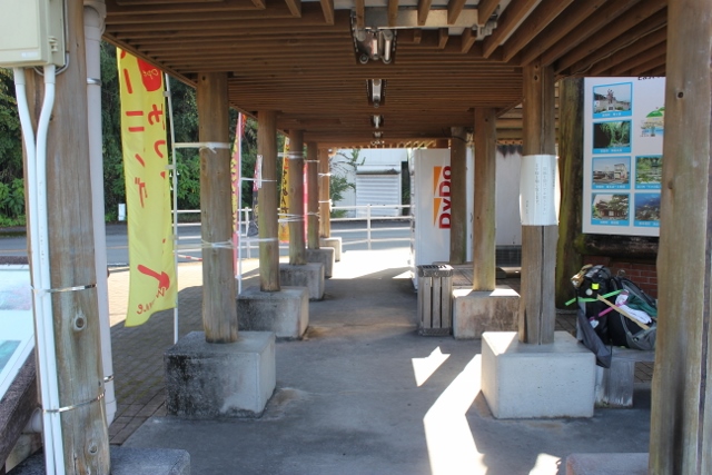
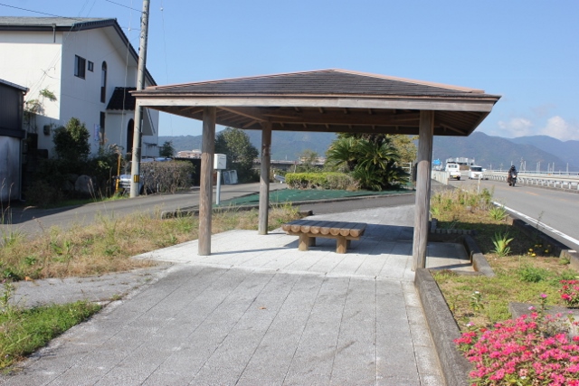
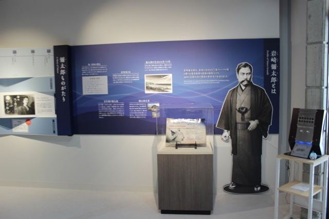

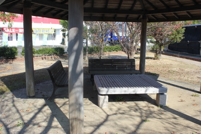
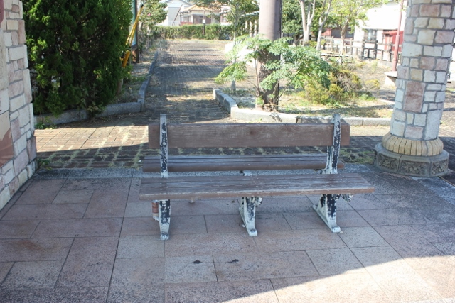
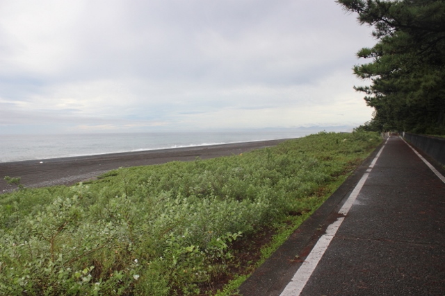
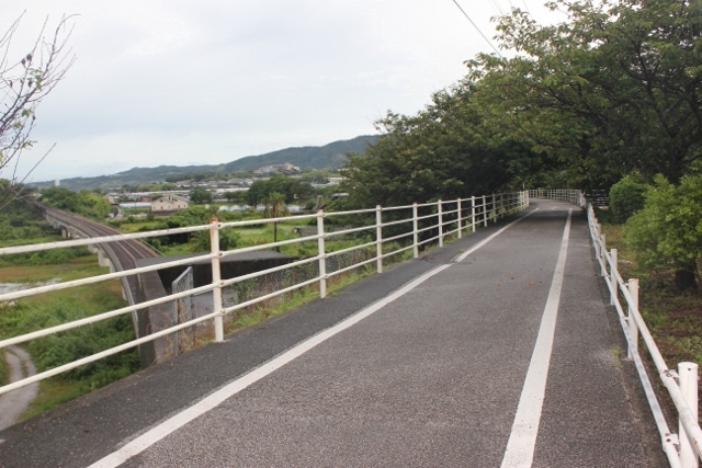
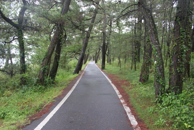
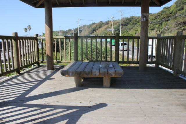
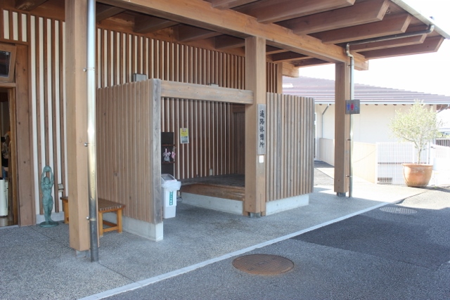
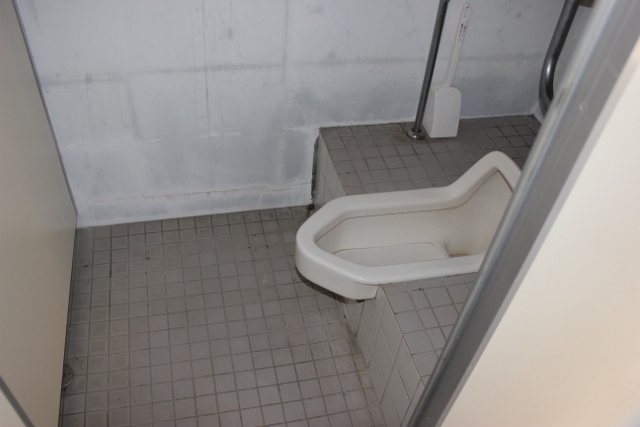

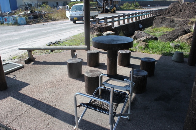
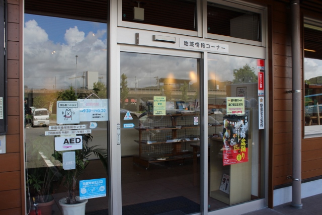
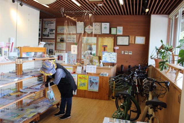
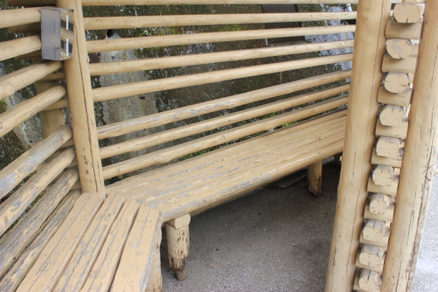


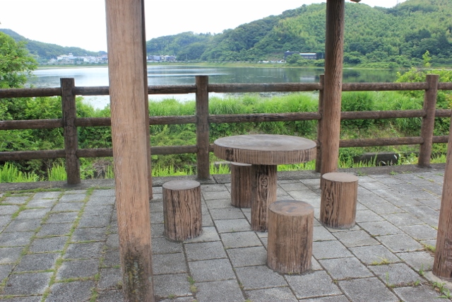
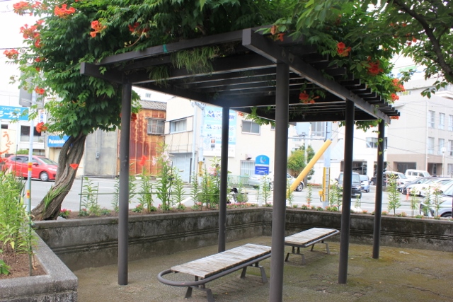
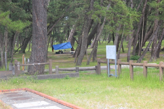
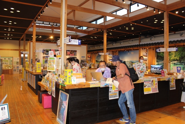
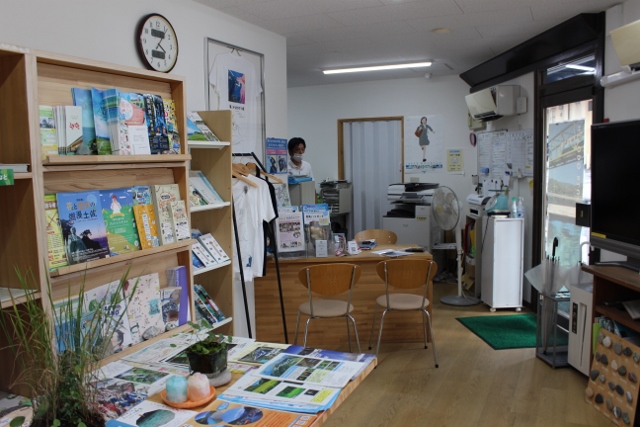
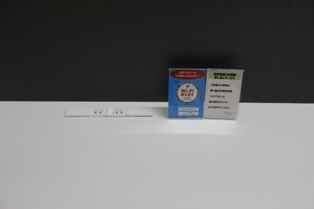
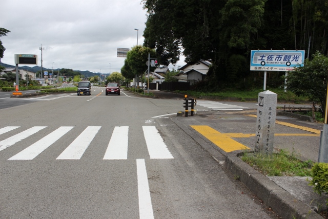
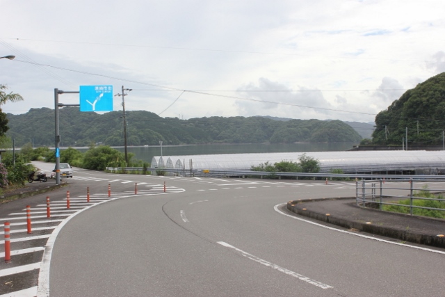
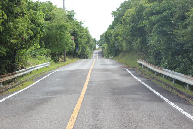
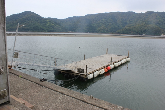
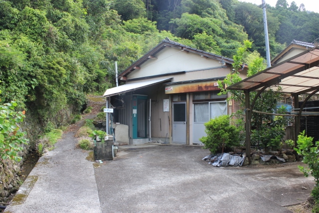
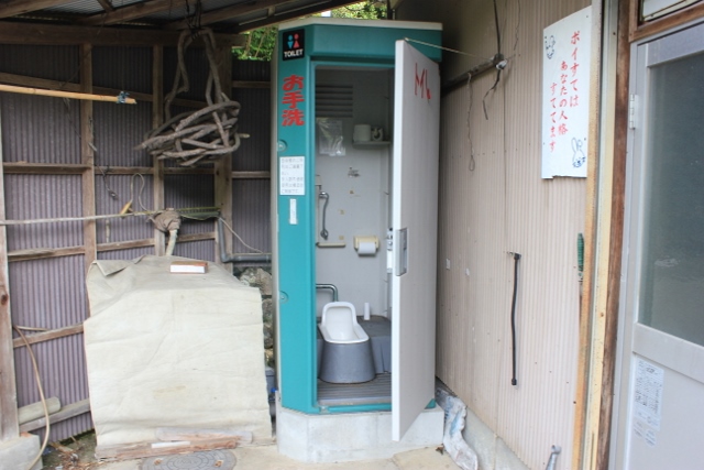
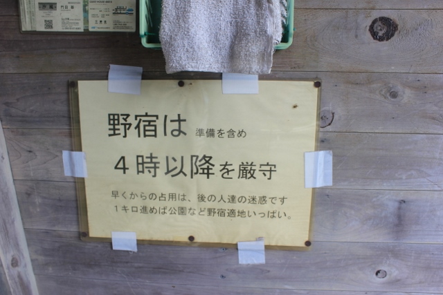
.jpg)
.jpg)
.jpg)
.jpg)
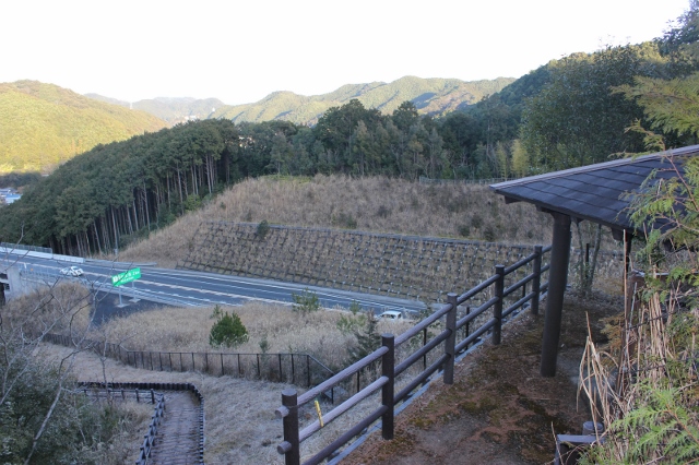
.jpg)
.jpg)